 Hiking
 Login
Login More
More EN
EN Premium
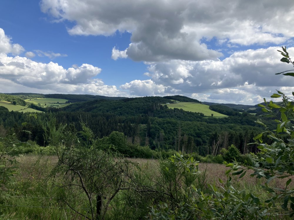
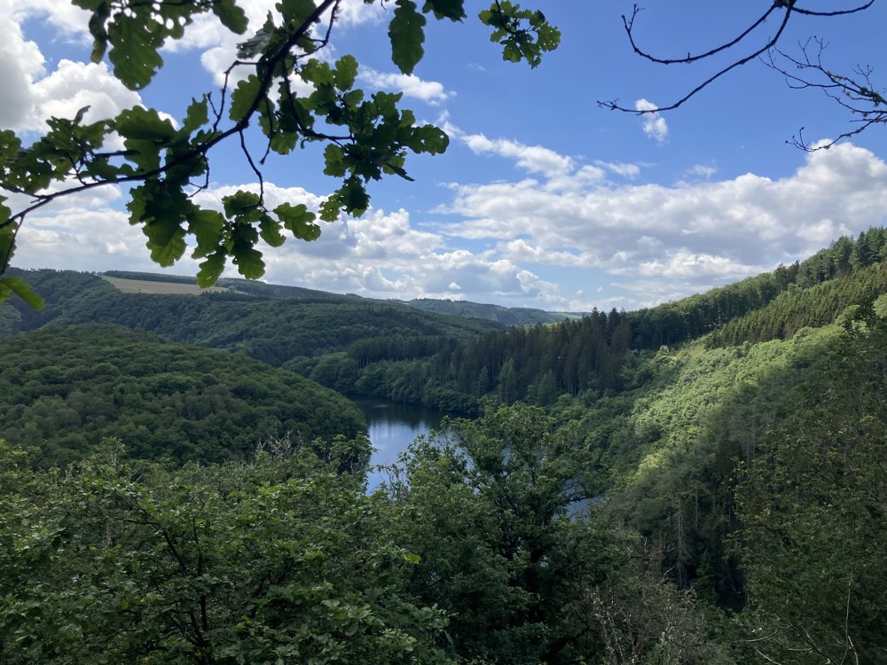
Along the reservoir of the Upper Sûre (Luxembourg)
automatic translation
10.1 km • Lac de la Haute-Sûre
2570 0 0/5

 Addresse starting point (approximate)
Doerfstrooss 5A, 9635 Lac de la Haute Sûre, LU
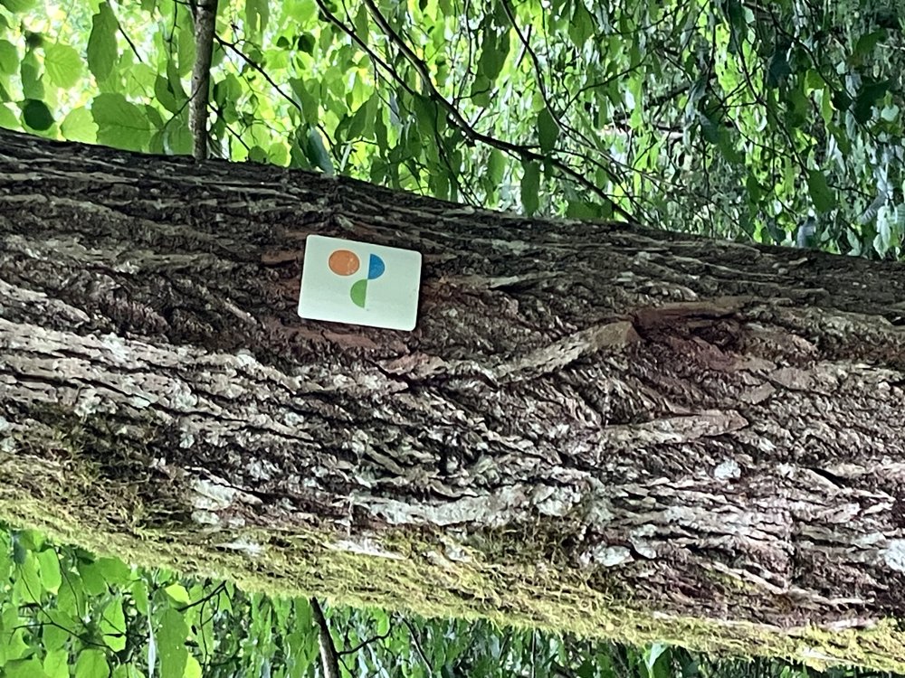
 signage
The route is fully signposted with thematic signs (no nodes).
 Description
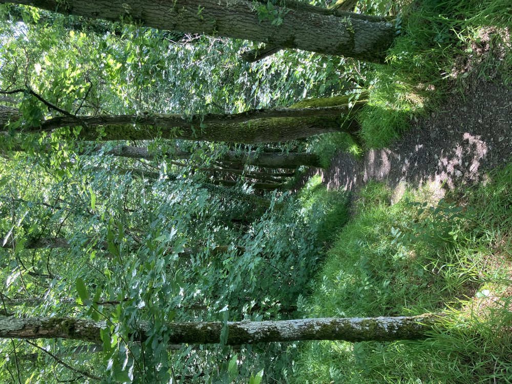
Beautiful hike along the reservoir for approximately 3 hours on narrow walking paths with stunning views.
It is best to start in the center of Bavigne where there is parking and a bus stop (free public transport in Luxembourg).
The hike is excellently signposted in both directions (see photo).
We recommend starting in the direction of the church of Bavigne.
Here and there you'll face a steep climb and descent, but the reward is always great.
Best not to hike in damp weather due to possibly slippery rock surfaces and tree roots.
automatic translation


 Upgrade to Premium Plus
