 Hiking
 Login
Login More
More EN
EN Premium
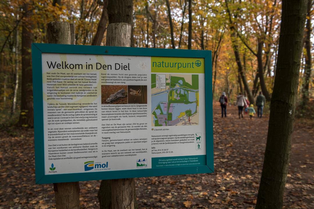
Den Diel
automatic translation
3.3 km • Mol
7292 1 4/5
route offered by
Toerisme Provincie Antwerpen
 Addresse starting point (approximate)
Bailey Brug, De Maat (parking aanwezig)
 signage
The route is fully signposted with nodes.
 Description
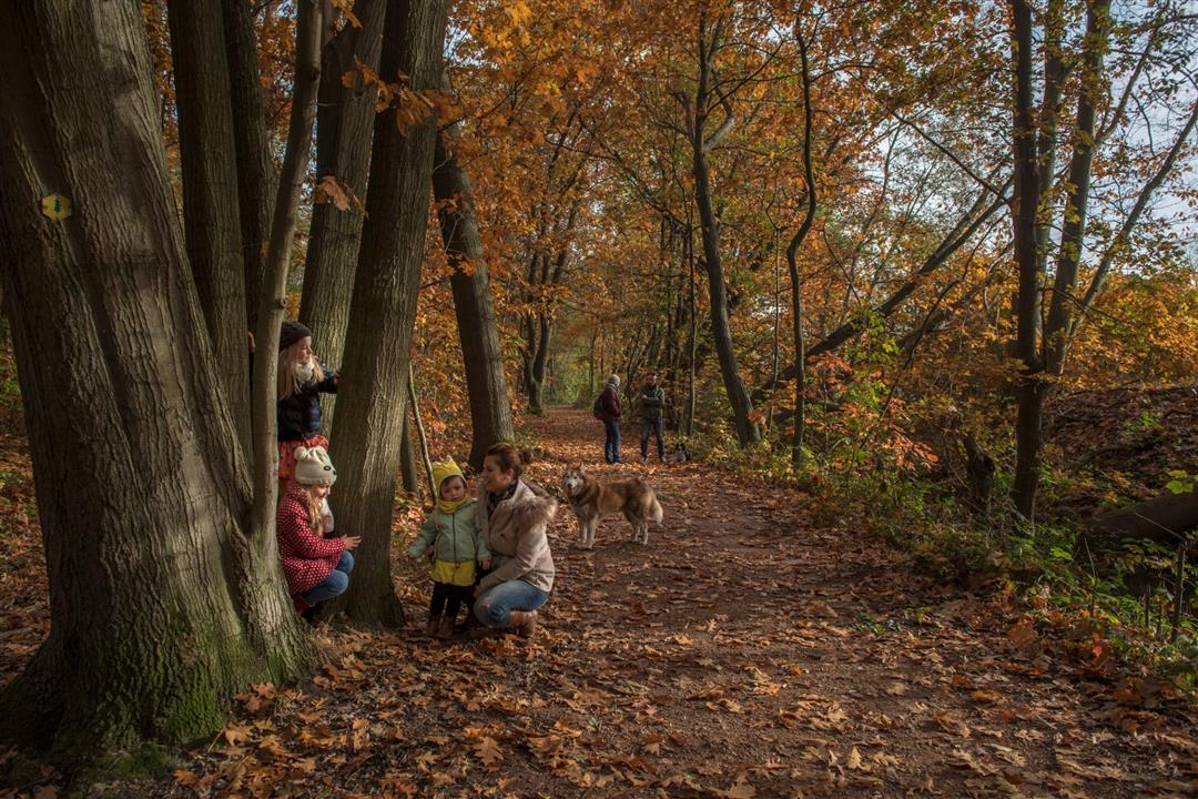
Leave the heavy traffic at the infamous Bailey Bridge, and find peace and quiet. Narrow paths meander through this incredible nature in this unique nature preserve. The former sprite mining pits have been transformed by the ravages of time into an immeasurably beautiful natural area. You can even find carnivorous plants here still. Rest assured, hikers are left alone.
automatic translation
 nodes to follow
0 km
0.5 km
1.7 km
2.2 km
2.9 km
3.3 km
Alternative versions
Wednesday, July 31, 2024 by Karin van de VenA nice short walk through the woods via a forest trail also used by mountain bikers. Today, Wednesday, no cyclist seen but will be different on weekends. So recommended to walk during the week. Three bunkers discovered, history of WWII is visible with The Bailey bridge in the background.
automatic translation


 Upgrade to Premium Plus
