 Hiking
 Login
Login More
More EN
EN Premium
Buitengoor
automatic translation
4.4 km • Mol
9861 0 0/5
4.4 km
0.0 km
0.0 km
10 km
© OpenStreetMap contributors, Tracestrack
route offered by
Toerisme Provincie Antwerpen
 Addresse starting point (approximate)
Postelsesteenweg 71 (parking aanwezig)
 signage
The route is fully signposted with nodes.
© Visit Mol
 Description
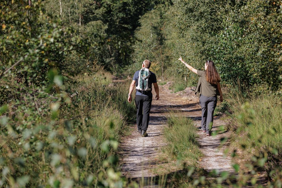
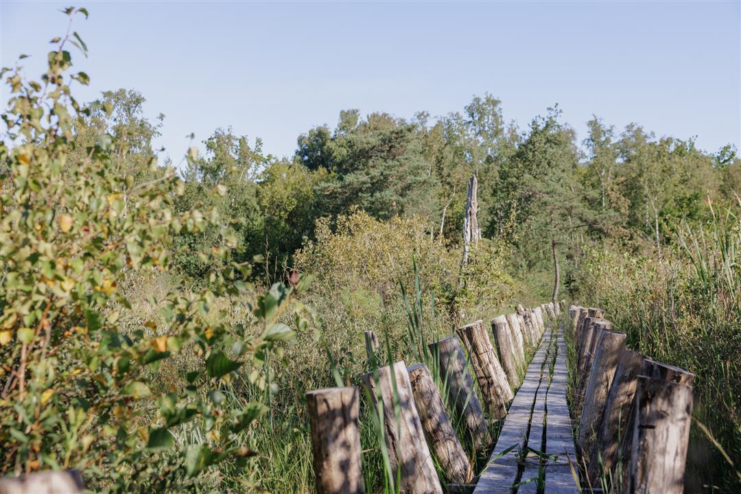
Buitengoor is a ringing name for a unique marsh and moorland with numerous rare plants and animals. With an area of 80 hectares, this area is not large but it is grand. It is of European importance. The confluence of pure seepage water and calcareous Meuse water creates vegetation that attracts dozens of scientists every year. Years of management work have restored the authentic, Kempen landscape. Boots are recommended.
automatic translation
 nodes to follow
0 km
0.4 km
1.2 km
1.4 km
1.6 km
1.8 km
2.1 km
2.7 km
3.2 km
3.4 km
3.9 km
4.3 km


 Upgrade to Premium Plus
