 Hiking
 Login
Login More
More EN
EN Premium
Dream Path Bleidenberger Views (Moselle)
automatic translation
12.8 km • Landkreis Mayen-Koblenz
890 0 0/5

 Addresse starting point (approximate)
Hauptstraße 63, 56332 Rhein-Mosel, DE
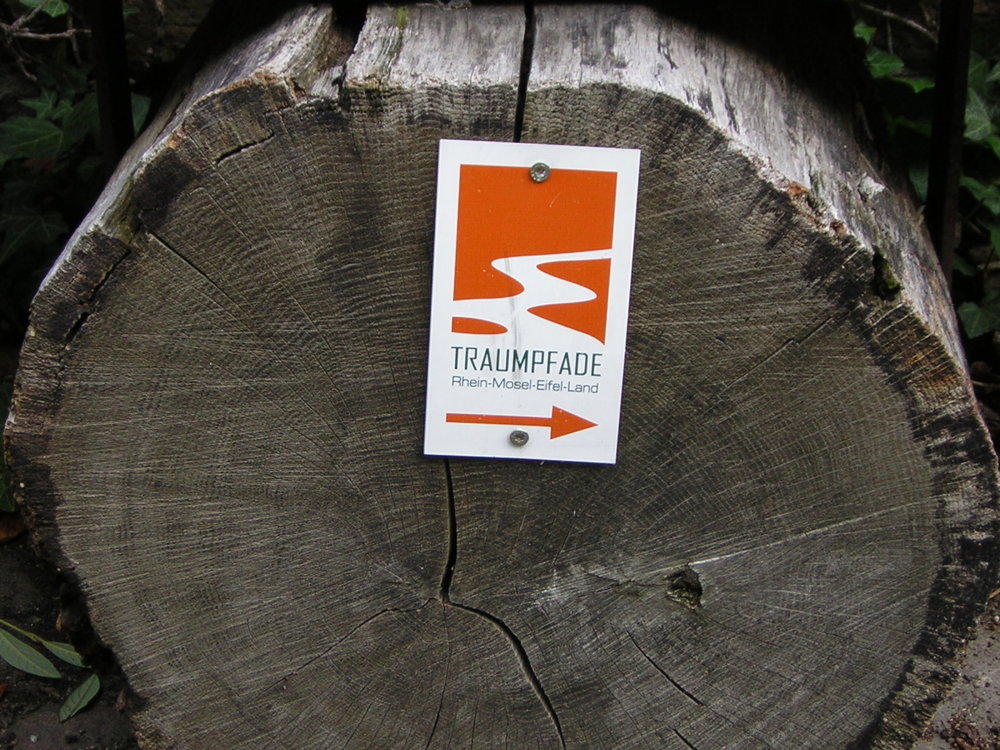
 signage
The route is fully signposted with thematic signs (no nodes).
 Description
Parking: Oberfell (D) Im Kirchenstück
Signage: Follow Traumpfade signs, perfectly marked.
Start begins near the church in Oberfell.
Steep climb with a view of the Moselle, then through the Lehmen forest and meadows to the hut on the Dickenberg, further down to the valley of the Alkener Bach.
Along the Alkener Bach slightly uphill to Burg Thurant, then downhill to the village of Alken (possibility for eating and drinking).
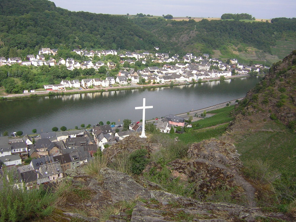
Then another steep climb to the Bleidenberger height with a beautiful panoramic view.
From the Wallfahrtskirche Bleidenberg downhill to the starting point.
Highlights: Villages of Oberfell and Alken, view from Dickenberg and Bleidenberg, St. Michaels Church, Burg Thurant, Wallfahrtskirche Bleidenberg.
537 meters of elevation, hiking poles are recommended.
The German Hiking Institute has awarded this hike 79 points, which is quite a lot.
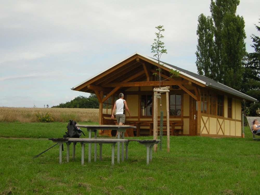
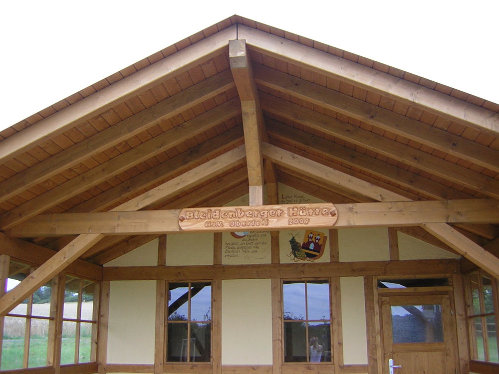
Rest and eating benches: There are several rest benches and shelters, including at 1.3 km / 2.8 km / 7.8 km / 8.4 km / 11.6 km
automatic translation


 Upgrade to Premium Plus
