 Hiking
 Login
Login More
More EN
EN Premium
Ursel Round Walk
automatic translation
10.3 km • Aalter
4461 0 0/5

 Addresse starting point (approximate)
Urseldorp 8, 9910 Knesselare, BE
 signage
The route is fully signposted with nodes.
 Description
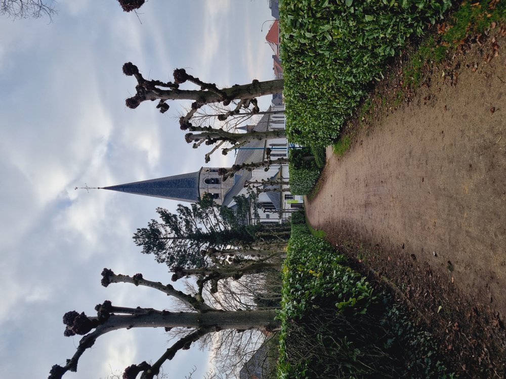
The route starts at the beautiful little church of Ursel and then leads us through the vast nature of the village.
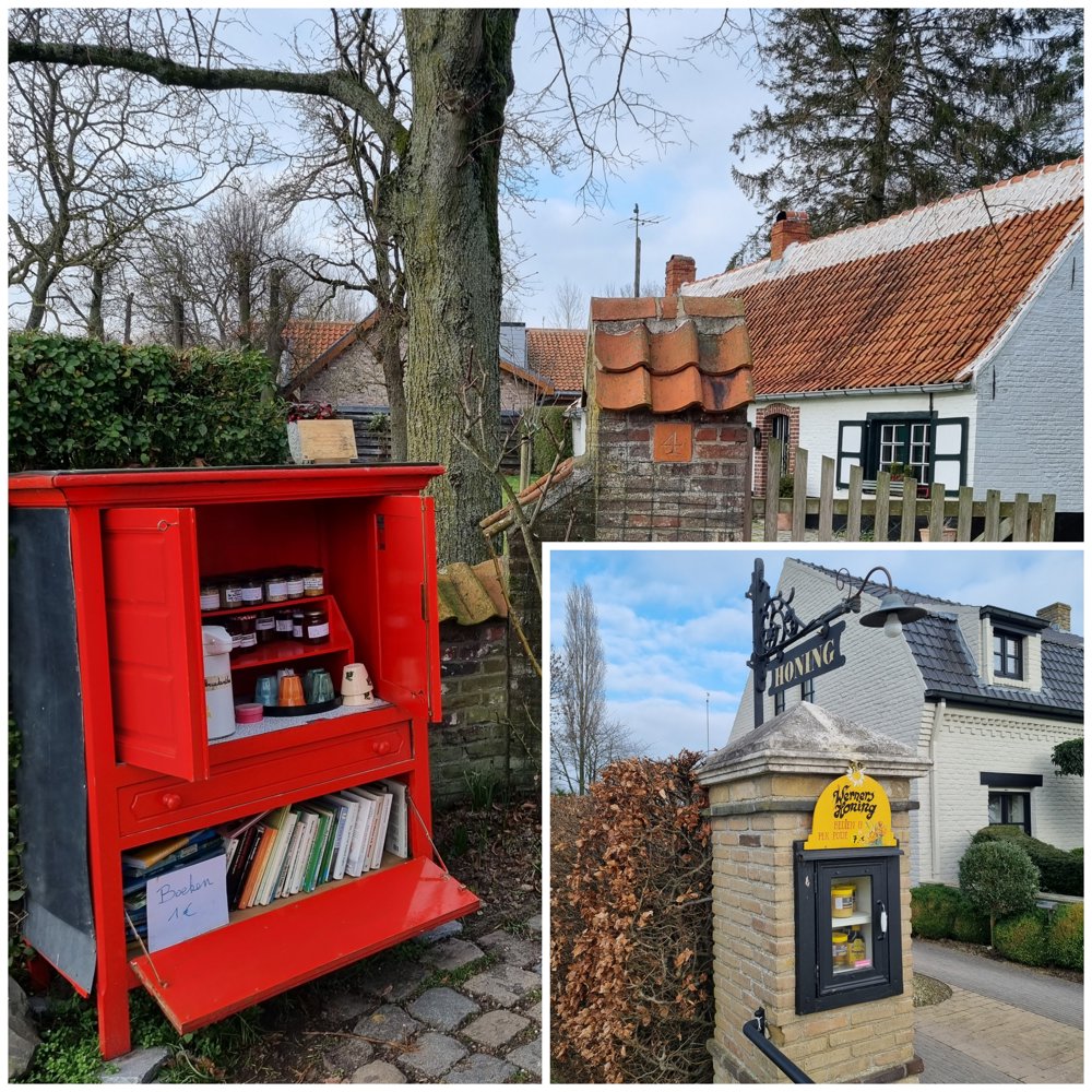
🍯 For honey lovers, there is a small cupboard along the way where you can buy honey.
🫖 Further along, Rita and Bruno offer their homemade herbal tea for a quick refreshment. Nice 👍 Don't walk past it!
✈️ Ursel is known for the nearby airfield, so you might hear some sport planes flying occasionally, but I did not find it too disturbing.
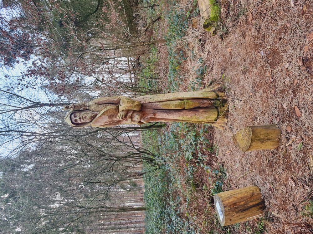
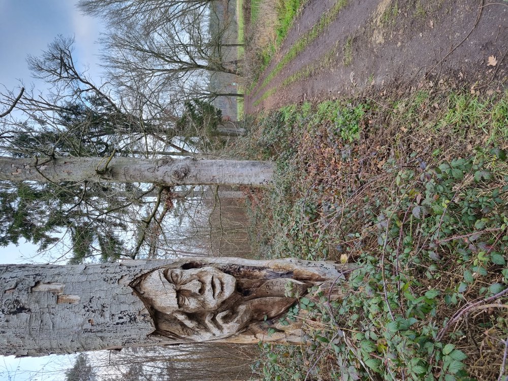
There are 3 wooden sculptures hidden in the forest, can you find them all? Here’s a tip for the most beautiful one ⤵️
➖️ Point during the walk: - Few benches 🫤
📏 10.3 km
If you want to see the Forest Ranger Statue, you need to turn right into the Keigatbos 🌳 after junction 89. Follow the loop and you'll come out again (+- 1 km extra).
🔢 84-85-86-87-88-89-94-95-96-87-86-83-84
🏁 Start & finish Church Ursel
🅿️ Church Ursel Eekloseweg 21, Ursel (Aalter)
automatic translation
 nodes to follow
0 km
1.3 km
1.8 km
2.3 km
3.5 km
3.9 km
5.2 km
5.4 km
6.4 km
6.8 km
7.3 km
8.8 km
10.3 km


 Upgrade to Premium Plus
