Loading...

At the edge of 'Le Bois d'Anlier'

automatic translation

10.7 km • Habay

1090 0 0/5

10.7 km 0.0 km 0.0 km

route offered by

Jacques Peyskens

Icon starting point Addresse starting point (approximate)

Rue De Maou 9, 6721, BE

Icon type signage of route signage

The route is not signposted. Use a GPS device or our app to follow the route through the virtual nodes.

5m 5m 5m 5m
Atmosphere image 1 of route At the edge of 'Le Bois d'Anlier' Atmosphere image 2 of route At the edge of 'Le Bois d'Anlier' Atmosphere image 3 of route At the edge of 'Le Bois d'Anlier'
© Jacques Peyskens

Icon description route Description

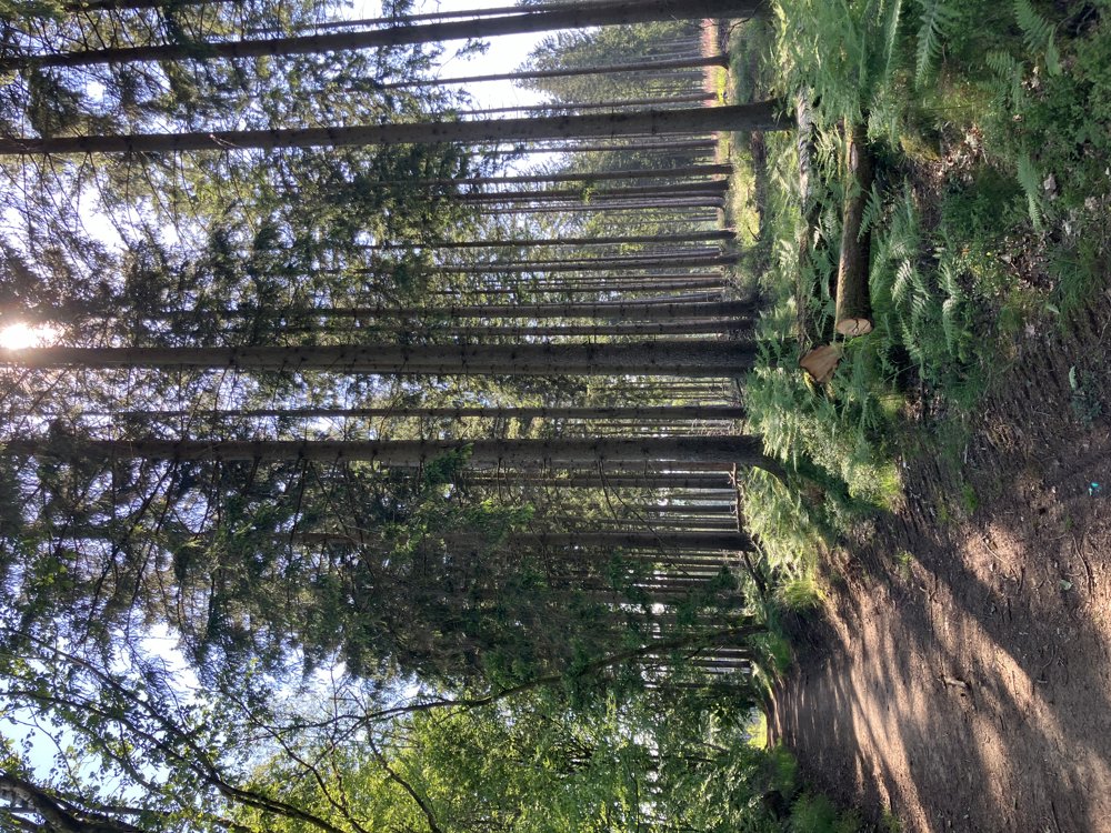
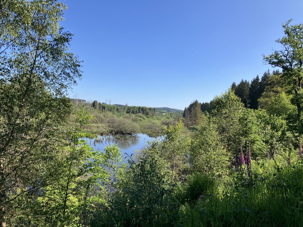
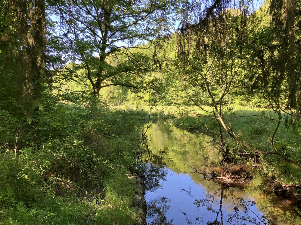
Bois d'Anlier is one of the largest forests in Belgium.

The church of Anlier is the starting point of numerous marked walking trails in the area.

We designed our first exploratory walking route of approximately 11 km through the virtual nodes.

It was a success. An inviting area to explore further.

automatic translation

Icon nodes to follow nodes to follow

Image node 170
0 km
Image node 206
0.1 km
Image node 79
1.6 km
Image node 505
2.7 km
Image node 267
3.9 km
Image node 528
5.3 km
Image node 168
5.8 km
Image node 168
5.9 km
Image node 662
6.2 km
Image node 394
7.1 km
Image node 490
7.7 km
Image node 944
7.8 km
Image node 16
9.1 km
Image node 206
10.7 km
This route does not have any reviews yet. Be the first!
Rate route!

Which POI do you want to show on the map?

Experimental hiking network
Unsigned icon

The route you have chosen runs (partly) along an experimental virtual hiking node network (the blue-coloured nodes and sections on the map).

You must be logged in to plan routes here.

Experimental hiking network
Unsigned icon

The route you have chosen runs (partly) along an experimental virtual hiking node network (the blue-coloured nodes and sections on the map).

These routes are not controlled in the field. Before you start hiking here, take a minute to read what an experimental hiking node network is and what rules you should follow when hiking here.