 Hiking
 Login
Login More
More EN
EN Premium
Along fields and creeks to the Neterselse Heide
automatic translation
29.3 km • Eersel
4491 0 0/5

 Addresse starting point (approximate)
Servatiusstraat 8, 5512AJ Eersel, NL
 signage
The route is fully signposted with nodes.
 Description
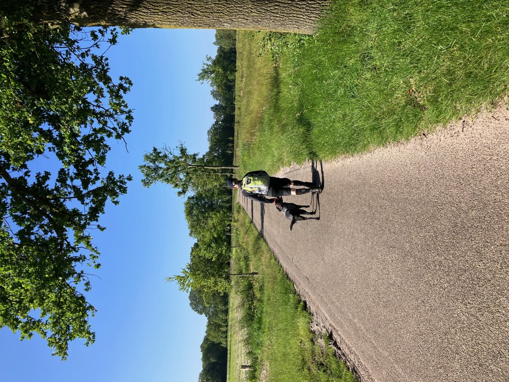
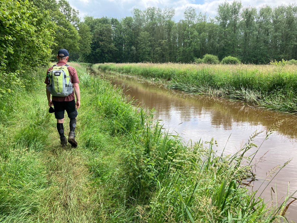
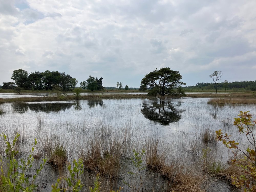
PEACE is the central word for this walk.
Park behind the church of the charming village of Vessem in the Brabantse Kempen. Quiet roads, but especially unpaved forest paths, field roads, and creek/brook banks take you through the Beerze area through a few silence zones to the vast Neterselse Heide.
High hiking boots are essential (especially in wet periods), as well as your own backpack with food and drinks (no restaurants along the way). Dogs are welcome everywhere on a leash. The posts of the walking junction network are sometimes well hidden behind trees, grass, or reeds, so you need to be fully present in your surroundings (or use the app).
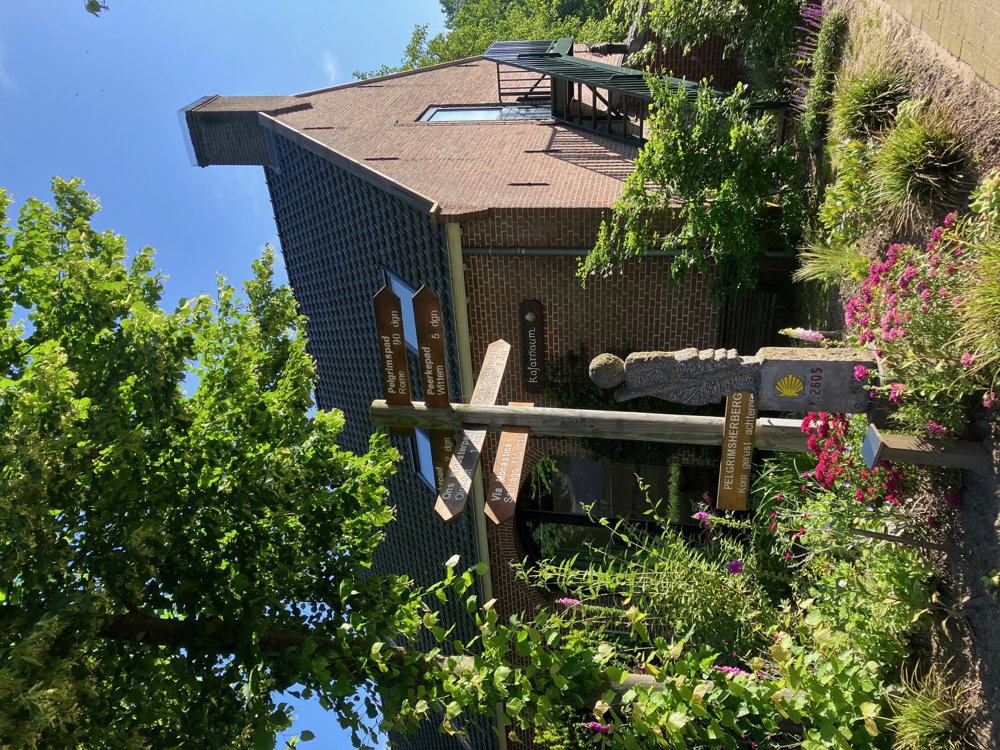
Mainly nature, a few tractors, and a rare but friendly walker will cross your path: silence. At the end, you can visit the Pilgrims' Inn or old mill in Vessem, but treat yourself to a delicious snack or local beer at 'Hout en mout', located right next to the more than 300-year-old family brewery Beerze.
automatic translation
 nodes to follow
0 km
0.8 km
0.8 km
1.6 km
2.3 km
3.6 km
5.6 km
6.5 km
8.3 km
9.7 km
11.1 km
11.3 km
12.9 km
13.4 km
14.5 km
14.6 km
15.4 km
16.5 km
17.7 km
19 km
19.6 km
20.4 km
21.3 km
21.6 km
22.3 km
23.6 km
23.7 km
24.9 km
25.8 km
26.6 km
28.3 km
29.1 km
29.3 km


 Upgrade to Premium Plus
