 Hiking
 Login
Login More
More EN
EN Premium
Wiekevorst and its specialties
automatic translation
13.2 km • Heist-op-den-Berg
9560 1 4.5/5

 Addresse starting point (approximate)
Bruggeneindse Heibaan 30, 2220 Heist-op-den-Berg, BE
 signage
The route is partially signposted with nodes. Use a GPS device or our app to follow the route.
 Description
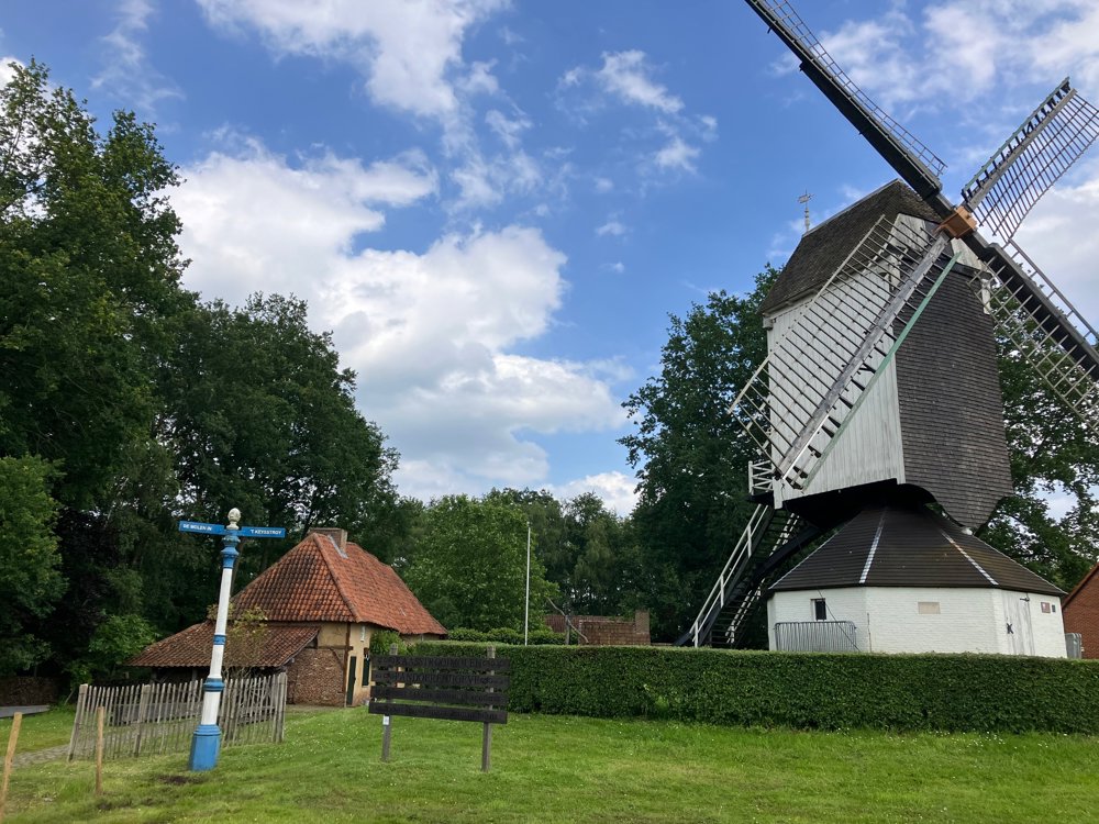
Park at the heritage farm "Pandoerenhoeve and Kaasstrooimolen". You can visit this original 17th-century wooden mill from the inside and/or have a drink at the Pandoerenhoeve on Sunday afternoon or by special request.
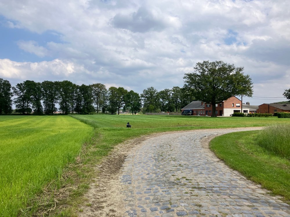
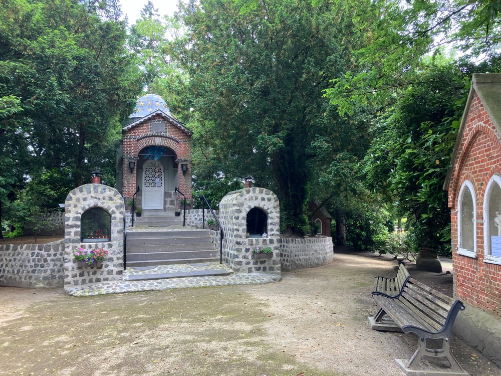
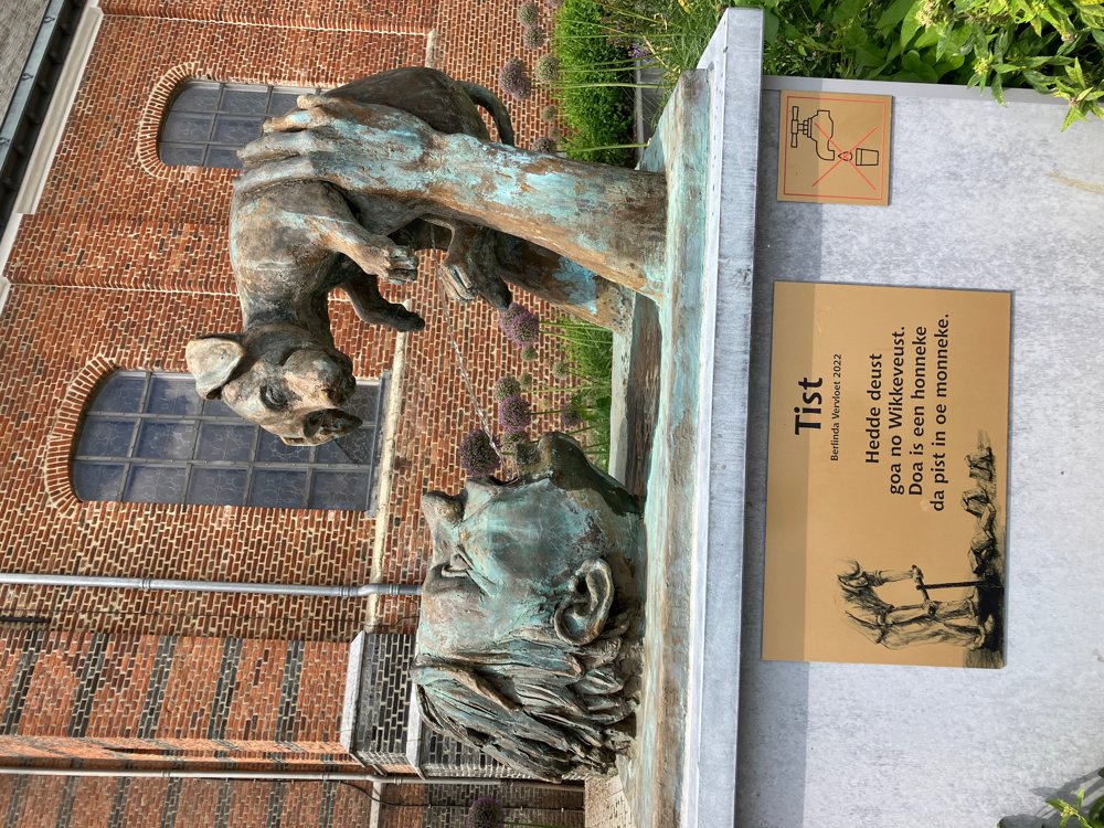
Along quiet roads (forest, cobblestone, gravel, ...) this varied journey first leads you to "Klein Scherpenheuvel" between junctions 38 and 39. After a restful stop at the mini-basilica with its own legend, you follow an old mass road to the village center of Wiekevorst. If the original "Honneke" (walk around the church to see it!) can't help you, there are other terraces to quench your thirst.
Along quiet roads, you explore the village surroundings. Between points 74 and 36, at the exit of the unpaved Wortel road, be sure to take a detour along the Itegemsebaan to the De Witte Lelie farm if you love artisanal desserts/ice cream. In the last part, you can soak up some country/western atmosphere at the Double D ranch (weekends). In wet weather: higher walking shoes. Dogs on a leash.
automatic translation
 nodes to follow
0 km

0.4 km
1.4 km
2 km
2.1 km
2.8 km
4.1 km
4.5 km
4.9 km
6.1 km
7.6 km
7.8 km
8.4 km
9 km
9.6 km
10.2 km
10.5 km
11.2 km
11.3 km
12.2 km
12.6 km

13.2 km


 Upgrade to Premium Plus
