 Hiking
 Login
Login More
More EN
EN Premium
Variation along the Moselle (Luxembourg)
automatic translation
13.3 km • Stadtbredimus
300 0 0/5

 Addresse starting point (approximate)
Wäistrooss 14, 5450 Stadtbredimus, LU
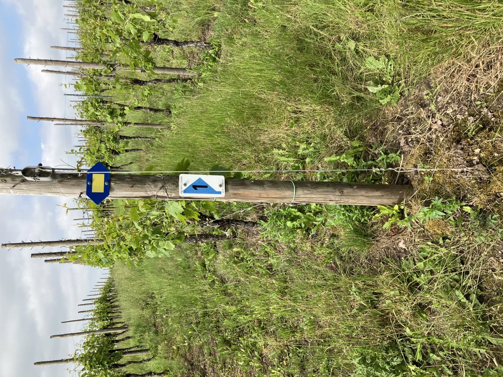
 signage
The route is fully signposted with thematic signs (no nodes).
 Description
Starting point for this fairly strenuous but very varied walk is the parking lot along the Moselle at Route du Vin 12 in Stadtbredimus, just north of Remich. The route is fully signposted with blue arrows, sometimes with the number 1.
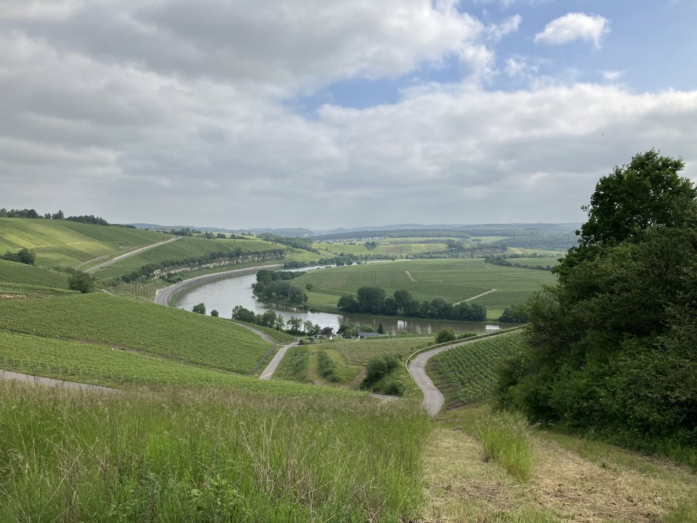
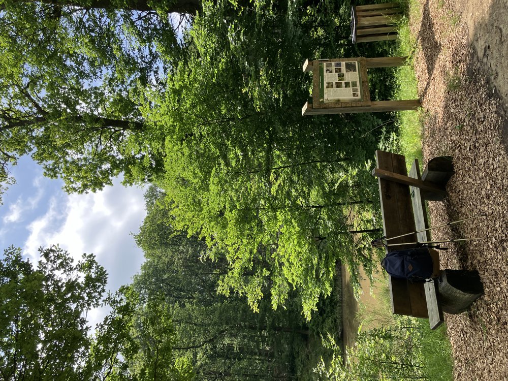
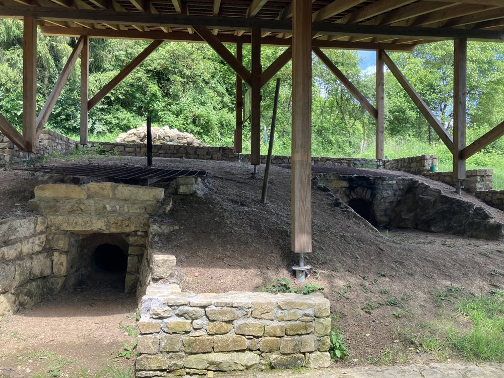
A steep climb through the village quickly brings you into the vineyards and offers stunning views of the Moselle Valley from there. Further on, you enter a deciduous forest and come to a barrier. You can go straight ahead according to the signage or take the right fork as indicated on the map. However, we advise against the latter due to the muddiness. Several water features in the forest invite you to take a short break. The route then takes you into the village of Greiweldange, where you walk past old wash basins and lime kilns. Once out of the village, you walk again among the vineyard rows and look out to Germany on the other side of the Moselle. The descent eventually brings you back to the starting point.
automatic translation


 Upgrade to Premium Plus
