 Hiking
 Login
Login More
More EN
EN Premium
Through the Meerhout forests
automatic translation
8.3 km • Meerhout
4720 0 0/5
8.3 km
0.0 km
0.0 km
10 km
© OpenStreetMap contributors, Tracestrack

 Addresse starting point (approximate)
Begonialaan 32, 2450 Meerhout, BE
 signage
The route is fully signposted with nodes.
© Jan Theunis
 Description
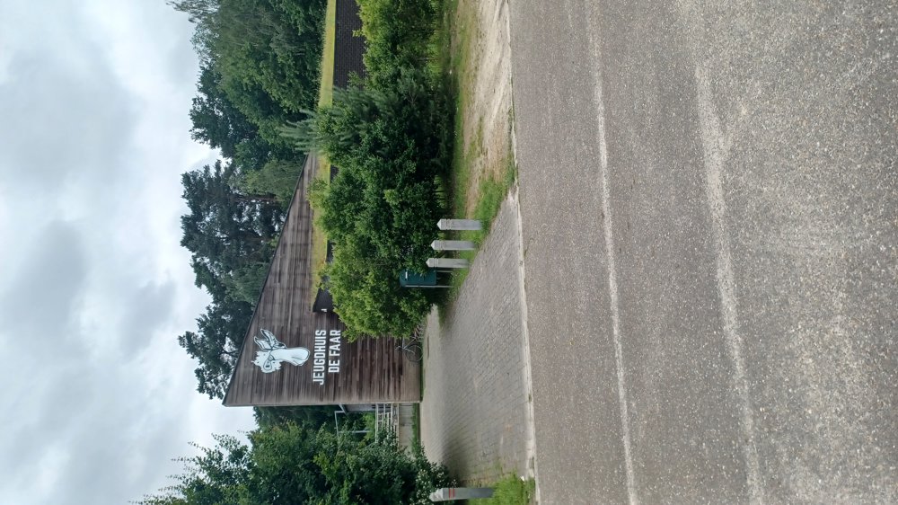
Parking: Meerhout, Sportlaan near Youth House “de Faar”
Signposting: Junction points.
Walking through the “Fabiola Forest” and a stretch along the Grote Nete.
Nice walk.
Highlights: Nature and Forest.
Rest and dining benches: There are several rest benches, including after 800m (junction 61) / 2.2km / 5km (pond) / 5.7km / 7.6km
automatic translation
 nodes to follow
0 km

0.1 km
0.4 km
0.6 km
0.7 km
0.8 km
1.2 km
1.8 km
2 km
2.3 km
2.5 km
2.9 km
3.1 km
3.5 km
3.7 km
4 km
4.2 km
5.2 km
5.8 km
6.2 km
6.6 km
6.9 km
7.7 km
8.2 km

8.3 km


 Upgrade to Premium Plus
