 Hiking
 Login
Login More
More EN
EN Premium
Land of Mortagne (walk 1)
automatic translation
11.5 km • Zwevegem
1.1960 1 4.5/5

 Addresse starting point (approximate)
Sint-Denijsplaats 2B, 8554 Zwevegem, BE
 signage
The route is fully signposted with nodes.
 Description
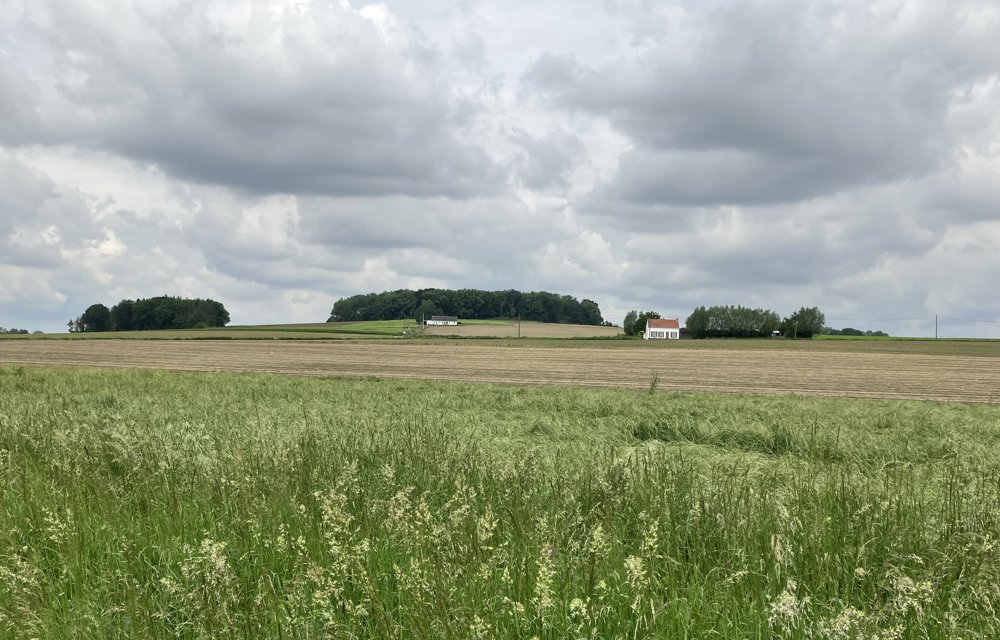
This loop is part of the Land van Mortagne hiking network, a lesser-known region in the south of West Flanders.
The route starts at the church of the village of Sint-Denijs (Zwevegem), where there is ample parking. You mainly walk along narrow paths, and there are excellent views.
automatic translation
 nodes to follow
0 km
0.5 km
1.4 km
1.9 km
3.2 km
3.3 km
4.4 km
5.4 km
6.2 km
6.6 km
7 km
8.7 km
9.2 km
10.3 km
11.1 km
11.2 km
11.5 km
Friday, October 11, 2024 by E.A.Quiet walk on slightly undulating trail with some nice views. Alternating surface: stepping stones, agricultural roads, asphalt.( dry, no mud lanes, doable with light hiking shoes) Plenty of benches along the way to enjoy a picnic in the sun. Excellent !
automatic translation


 Upgrade to Premium Plus
