 Hiking
 Login
Login More
More EN
EN Premium
Discover Luxembourg City
automatic translation
7.6 km • Luxembourg
1280 0 0/5

 Addresse starting point (approximate)
Avenue John F. Kennedy 17, 1855 Luxembourg, LU
 signage
The route is not signposted. Use a GPS device or our app to follow the route.
 Description
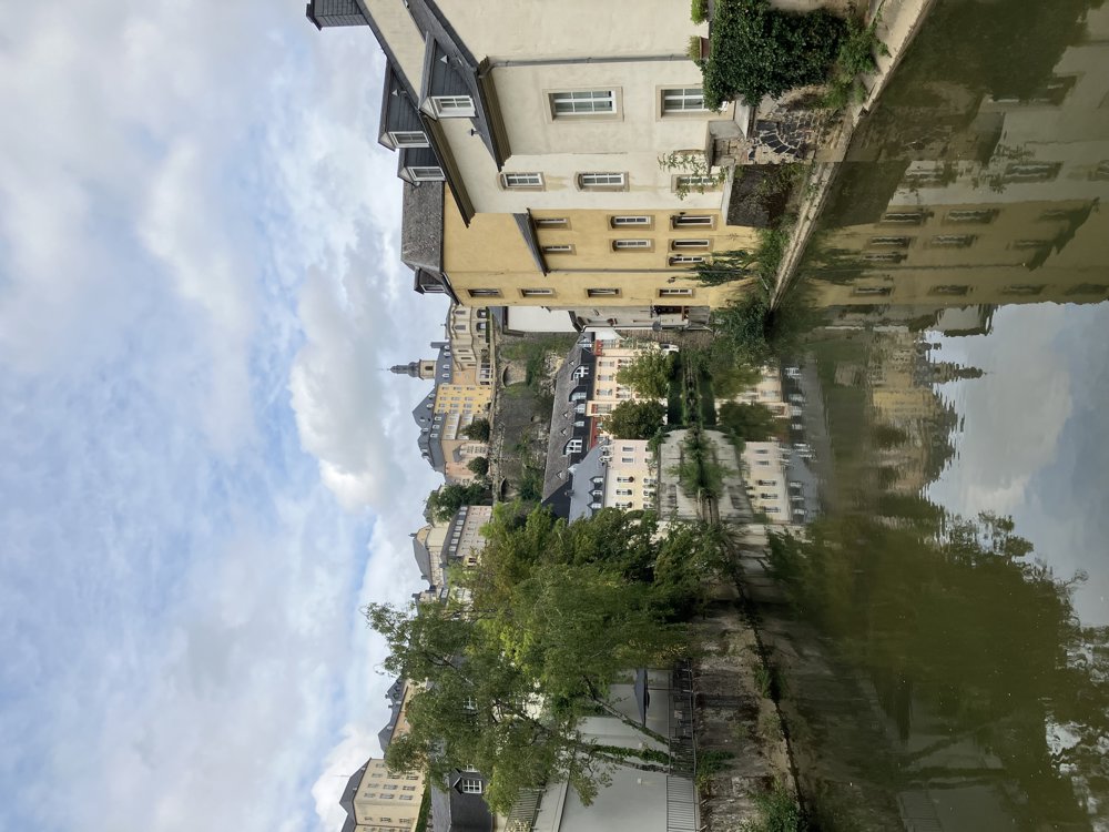
With this walk, you have truly seen the city of Luxembourg and can enjoy impressive panoramas.
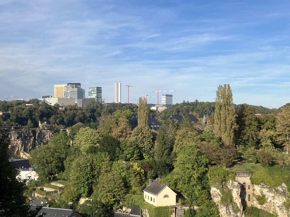
It's best to start at the European Parliament in Kirchberg, accessible by free public transportation (tram). There you will see the impressive buildings of the European institutions located in Luxembourg.
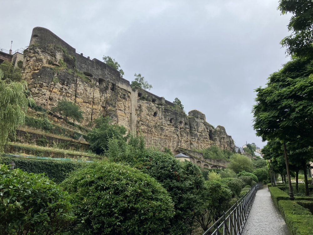
Next, in the following order on the route: Philharmonie, Fort Thüngen, the Funiculaire (cable railway) to Pfaffenthal, the panoramic lift (65 meters) that takes you to the upper city, Place de la Constitution, the Pétrusse valley that leads you to the Bisser Bridge, from where you can take another lift to the upper city to the court buildings.
The walk then takes you further to the Notre-Dame Cathedral, the most beautiful balcony in Europe, the Bock Casemates, and the Grand Ducal Palace.
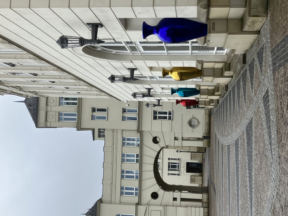
Finally, you reach the center with Place Guillaume, Place d'Armes, the shopping streets, and the Hamilius bus and tram stop with numerous connection possibilities.
automatic translation


 Upgrade to Premium Plus
