 Hiking
 Login
Login More
More EN
EN Premium
Nature and Castles in the Pearl of the Campine
automatic translation
11.2 km • Westerlo
8150 0 0/5

 Addresse starting point (approximate)
Bergveld 120, 2260 Westerlo, BE
 signage
The route is partially signposted with nodes. Use a GPS device or our app to follow the route.
 Description
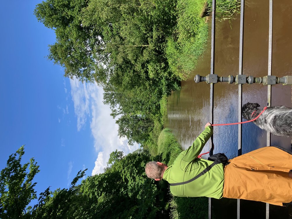
Park on the bridge over the Grote Nete.
Along its beautiful banks, head towards the Rothoek nature park with its moist soil (a birdwatching hut is possible with a small detour).
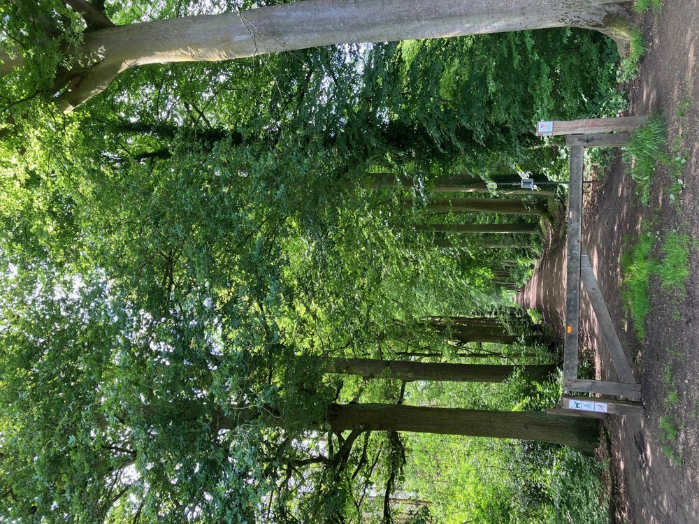
Continue via the Asberg estate with its unique dog racing track towards De Beeltjens in Westerlo. Along some beautiful avenues, you reach the simple Forest Ranger's House with a playground.
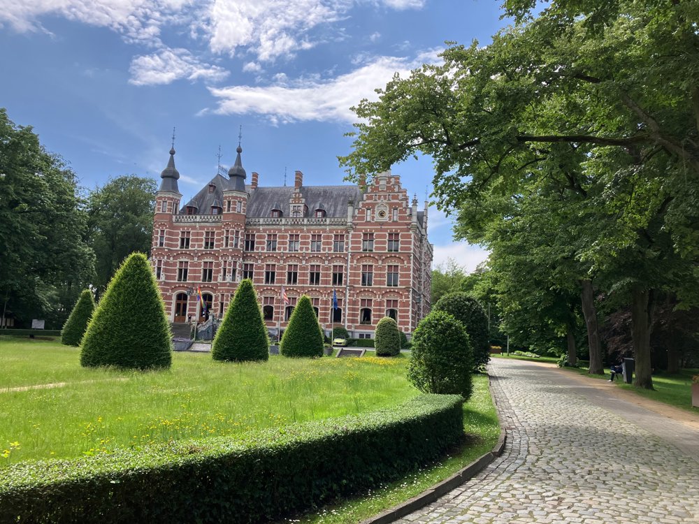
Passing through the municipal park, you come across the stately castle of Countess Jeanne De Merode. Continue your way to the lively center of Westerlo where you can sit on a terrace before admiring the castle of Prince De Merode from the other side of the Grote Nete.
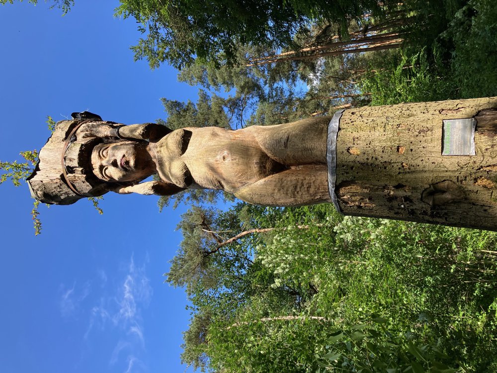
Via the Kwarekkendreef, you enter the nature reserve of the same name and look for nice open spots in the forest and the artistic Krekkemie.
The Nete valley finally brings you to the end where you can enjoy a tasty meal at Bar Jardin or Afspanning de Netehoeve. Dogs allowed on a leash. High hiking boots recommended in wet weather.
automatic translation
 nodes to follow
0 km

0.4 km
0.8 km
1 km
1.4 km
1.9 km
2.2 km
2.7 km
3 km
4.4 km
4.9 km
5.1 km
5.3 km
5.4 km
6 km
6.4 km
7 km
7.2 km
8.6 km
9.3 km
11.2 km


 Upgrade to Premium Plus
