 Hiking
 Login
Login More
More EN
EN Premium
Wine and (we)water in the white Thorn
automatic translation
16 km • Maasgouw
3390 0 0/5

 Addresse starting point (approximate)
7 6, 6017 AJ Thorn, Netherlands
 signage
The route is partially signposted with nodes. Use a GPS device or our app to follow the route.
 Description
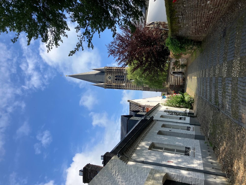
Through the ancient white houses of Thorn, with its own wine and pancake house and cozy terraces, you go in search of the water in the region.
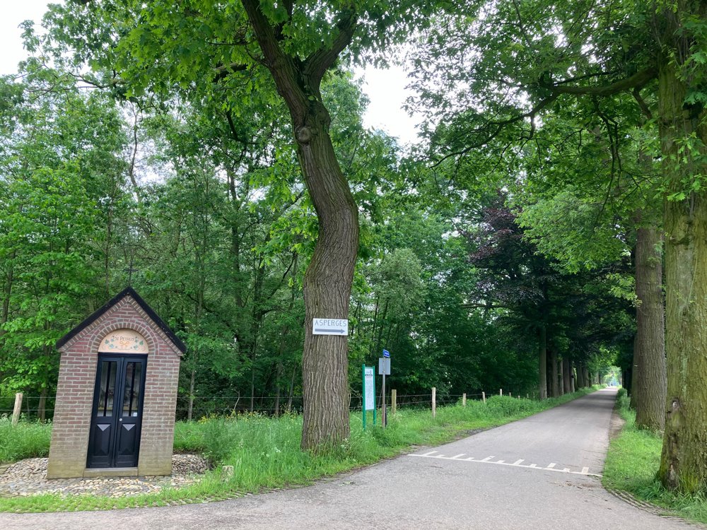
Along quiet avenues, paths, and lanes, you regularly pass a sacred chapel.
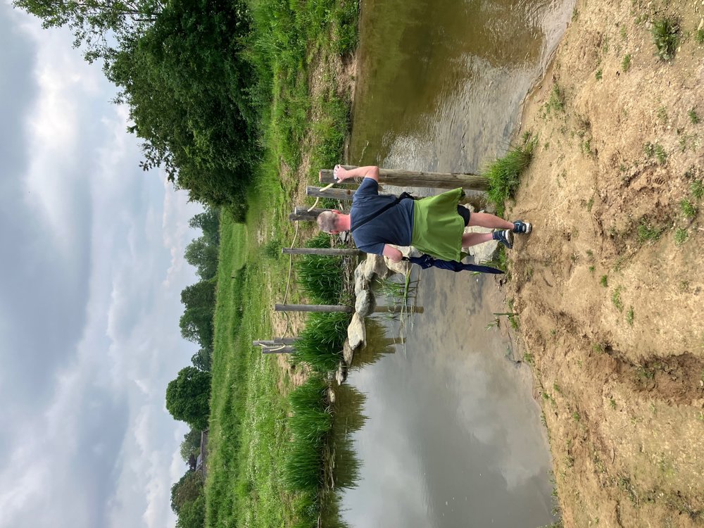
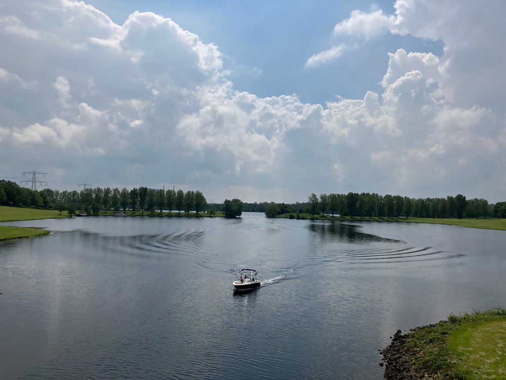
You encounter the water-rich Meggelveld, cross the Wessem-Nederweert canal to spot small and large pleasure boats on De Polderplas and De Tesken. The cycling café De Tump offers a beautiful view.
Via the village of Wessem, you reach the Maas with several cozy places to eat and drink. After a few quiet village streets, you can soon enjoy a drink or snack again, for example at Humphrey's Thorn near the Prins Mauritshaven at De Koewei and De Grote Heg.
You end via a nice path next to the waterway back at the paid parking with a view of the castle De Grote Hegge and the rural white Thorn. The walk can also be nice in the opposite direction. Dogs are welcome on a leash. Keep your mobile phone handy as markers are sometimes scarce.
automatic translation
 nodes to follow
0 km

0.2 km
0.3 km
0.4 km
0.5 km
0.5 km
0.6 km
0.7 km
0.8 km
0.9 km
1 km
1.2 km
1.3 km
1.6 km
1.6 km
1.7 km
2.1 km
2.1 km
3 km
3.7 km
4.7 km
5.1 km
6.1 km
6.8 km
7.8 km
8.4 km
9.2 km
9.6 km
10.1 km
10.8 km
13.1 km
15.6 km
16 km


 Upgrade to Premium Plus
