Loading...

South Texel variety along De Koog and Den Burg

automatic translation

32.5 km • Texel

270 0 0/5

32.5 km 0.0 km 0.0 km

route offered by

Wilfried Lambrechts

Icon starting point Addresse starting point (approximate)

Dorpsstraat 115, 1796 CA De Koog, Netherlands

Icon type signage of route signage

The route is partially signposted with nodes. Use a GPS device or our app to follow the route.

5m 5m 5m 5m
Atmosphere image 1 of route South Texel variety along De Koog and Den Burg Atmosphere image 2 of route South Texel variety along De Koog and Den Burg Atmosphere image 3 of route South Texel variety along De Koog and Den Burg
© Wilfried Lambrechts

Icon description route Description

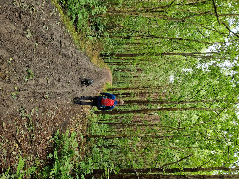
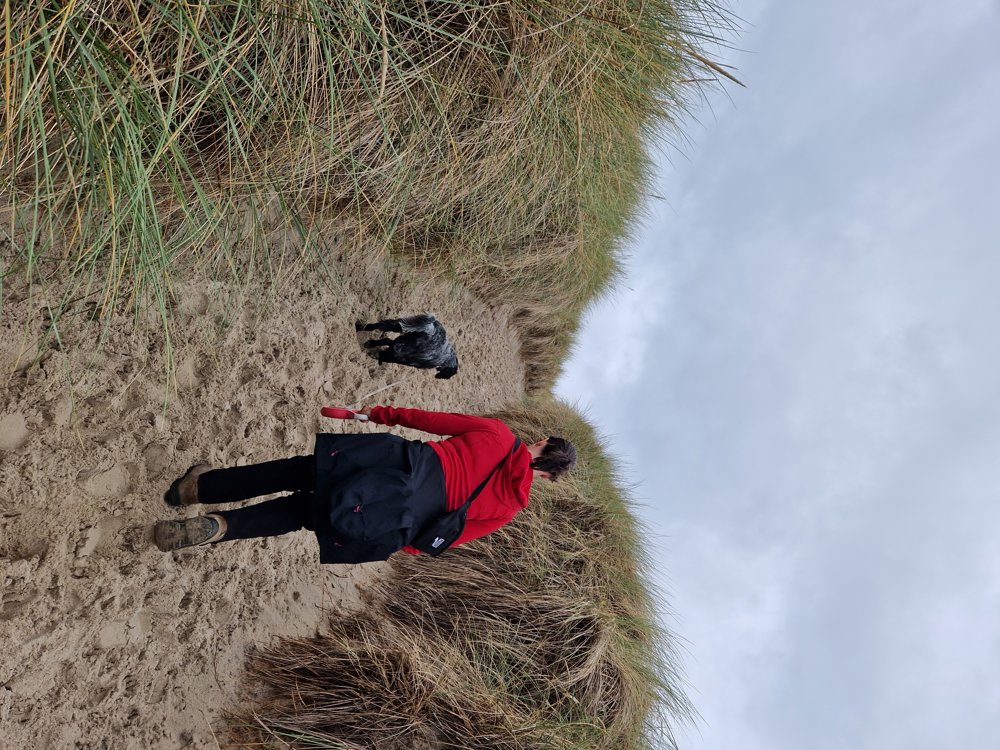
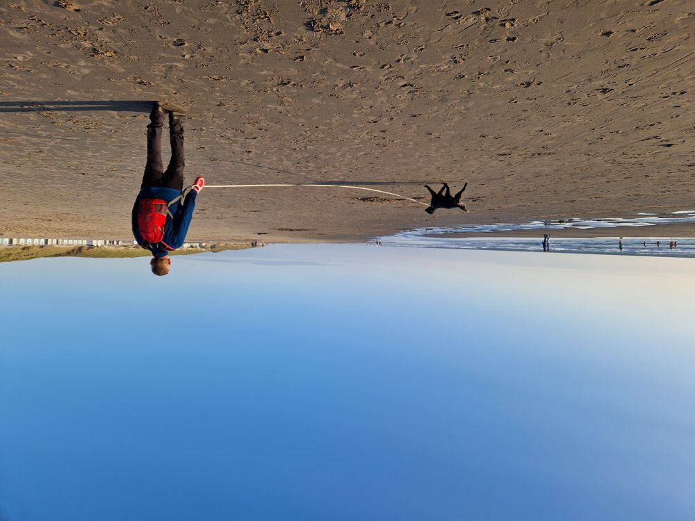
Both enjoying the wind on the beach, walking in Texel's forest, and wandering through the dunes are on the agenda.

Even the vast and windy inland with the cozy terraces and shops of Den Burg is visited.

In terms of surface, variety is key! You can certainly do the trip in reverse, which can offer a pleasant walk along the beach at sunset! Dogs are welcome on a leash.

The trip can be extended with an interesting visit to the nature museum and seal sanctuary Ecomare, but then you will have to leave your four-legged friend at home.

automatic translation

Icon nodes to follow nodes to follow

Image node 40
0 km
Icon deviation route
0.9 km
Icon deviation route
1.7 km
Icon deviation route
2.3 km
Icon deviation route
2.7 km
Icon deviation route
3.6 km
Icon deviation route
4.4 km
Icon deviation route
4.8 km
Icon deviation route
7.4 km
Icon deviation route
8 km
Icon deviation route
8.7 km
Icon deviation route
9.5 km
Icon deviation route
10.6 km
Icon deviation route
11.6 km
Icon deviation route
14.6 km
Icon deviation route
17.4 km
Icon deviation route
19.2 km
Icon deviation route
19.4 km
Icon deviation route
19.6 km
Icon deviation route
19.8 km
Icon deviation route
20 km
Icon deviation route
20.2 km
Icon deviation route
20.3 km
Icon deviation route
20.5 km
Icon deviation route
20.6 km
Icon deviation route
20.8 km
Icon deviation route
21 km
Icon deviation route
21.1 km
Icon deviation route
21.4 km
Icon deviation route
21.7 km
Icon deviation route
21.8 km
Icon deviation route
22 km
Icon deviation route
22.2 km
Icon deviation route
23.1 km
Icon deviation route
24.2 km
Icon deviation route
25 km
Icon deviation route
26.7 km
Icon deviation route
29.5 km
Image node TP
30.8 km
Icon deviation route
31.1 km
Icon deviation route
31.4 km
Icon deviation route
31.6 km
Icon deviation route
32 km
Icon deviation route
32.1 km
Icon deviation route
32.3 km
Image node 40
32.5 km
This route does not have any reviews yet. Be the first!
Rate route!

Which POI do you want to show on the map?

Experimental hiking network
Unsigned icon

The route you have chosen runs (partly) along an experimental virtual hiking node network (the blue-coloured nodes and sections on the map).

You must be logged in to plan routes here.

Experimental hiking network
Unsigned icon

The route you have chosen runs (partly) along an experimental virtual hiking node network (the blue-coloured nodes and sections on the map).

These routes are not controlled in the field. Before you start hiking here, take a minute to read what an experimental hiking node network is and what rules you should follow when hiking here.