 Hiking
 Login
Login More
More EN
EN Premium
Wildlife spotting in Drongengoed Landscape Park
automatic translation
7.2 km • Maldegem
7976 0 0/5

 Addresse starting point (approximate)
Drongengoedweg 11, 9910, Belgium
 signage
The route is fully signposted with nodes.
 Description
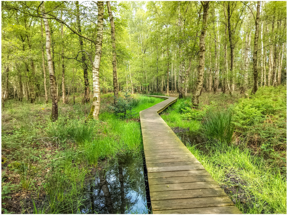
This walk takes you through the beautiful Drongengoed Landscape Park, on the walking network of the Meetjesland forests.
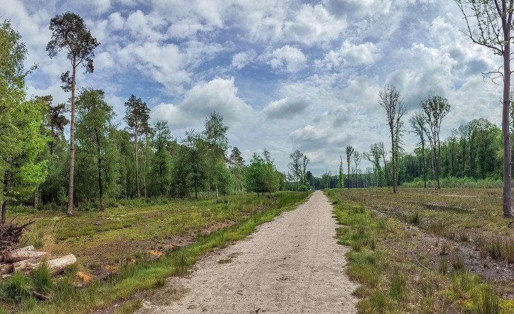
We start from the Krakeel parking lot, where you immediately have space to park the car. From the parking lot, you briefly follow the asphalt road to KP17, from where you enter the forest and get absorbed by nature over unpaved paths for the rest of the walk. You walk on beautiful forest paths and cross some areas where they are working on heath restoration up to the military airport of Ursel.
Keep your eyes open, the forest has very rich populations of fallow deer and roe deer, the chances are high that you have already encountered one!
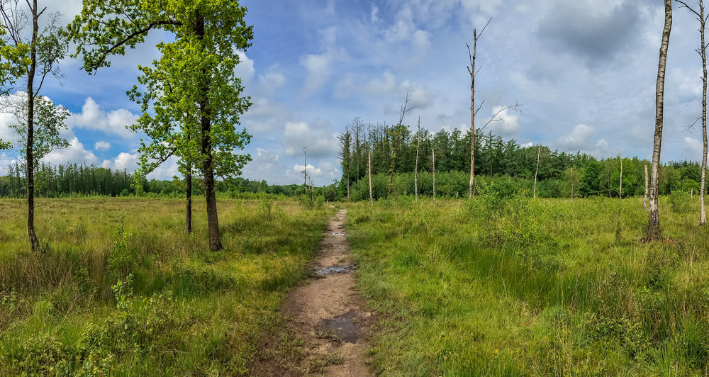
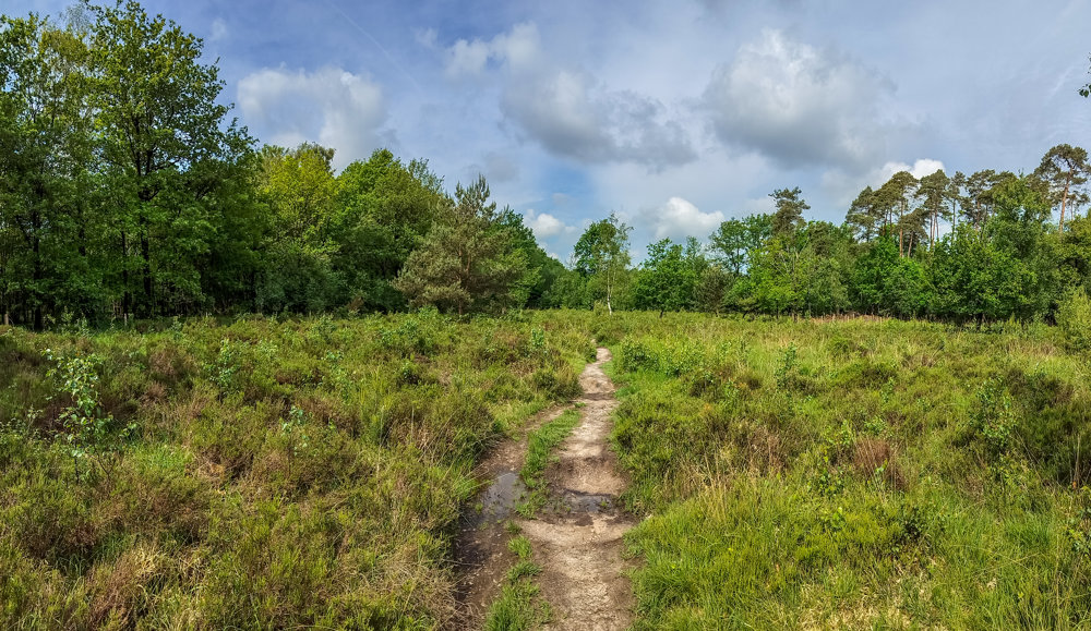
Once out of the forest, you enter the Maldegemveld nature reserve from KP21. Beautiful! At times, you might feel like you're in the High Fens!
Here too, you have a chance to spot a roe deer, with some luck you might even see one of the many herds that roam the area. Be sure to climb the lookout hill along the way!
automatic translation
 nodes to follow
0 km
0.4 km
0.7 km
0.9 km
1.9 km
2.1 km
2.3 km
2.6 km
2.9 km
3.6 km
4.3 km
5.4 km
5.6 km
5.9 km
6.6 km
6.8 km
7.2 km


 Upgrade to Premium Plus
