 Hiking
 Login
Login More
More EN
EN Premium
Hidden pearl of Vloethemveld
automatic translation
9.1 km • Zedelgem
1.2895 1 5/5

 Addresse starting point (approximate)
Vloethemveld 16, 8210 Zedelgem, Belgium
 signage
The route is fully signposted with nodes.

 Description
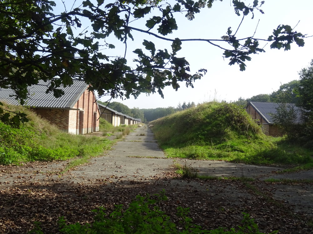
After World War II, Vloethemveld was converted into a prisoner-of-war camp where approximately 100,000 prisoners stayed.
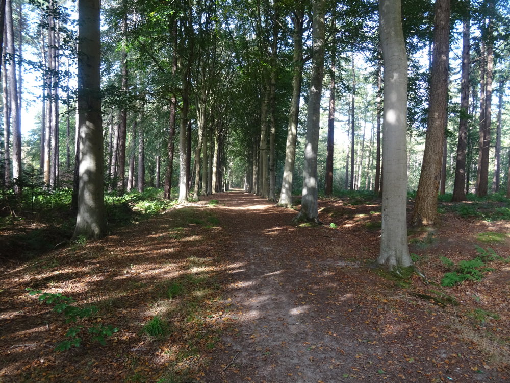
Today, Vloethemveld is top-notch nature; the military domain is accessible only with a guide.
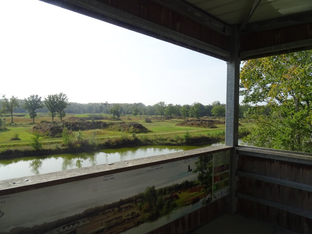
Several observation towers provide a beautiful view of the area. There is a play zone for our little ones.
Tip: be sure to bring your picnic. At junction 4, fifty meters to the right, you will find a beautiful bird-watching hut.
automatic translation
 nodes to follow
0 km
0.3 km
2 km
2.8 km
4.1 km
4.6 km
5.5 km
6.1 km
6.5 km
7.2 km
8 km
8.3 km
8.9 km
9.1 km
Saturday, July 27, 2024 by Peter De PourcqVery beautiful walking route in woodland and heathland. What is definitely a plus is the observation tower that gives a view of the nature being restored where the former POW camp was. We were also lucky to spot deer as well as birds of prey. Highly recommended for nature lovers.
automatic translation


 Upgrade to Premium Plus
