Loading...

Through the dunes and along the beach

automatic translation

10.3 km • De Haan

8402 0 0/5

10.3 km 0.0 km 0.0 km

route offered by

Marc Verelst

Icon starting point Addresse starting point (approximate)

Zwarte Kiezel 51, 8421 De Haan, Belgium

Icon type signage of route signage

The route is fully signposted with nodes.

5m 5m 5m 5m
Atmosphere image 1 of route Through the dunes and along the beach Atmosphere image 2 of route Through the dunes and along the beach Atmosphere image 3 of route Through the dunes and along the beach
© Marc Verelst

Icon description route Description

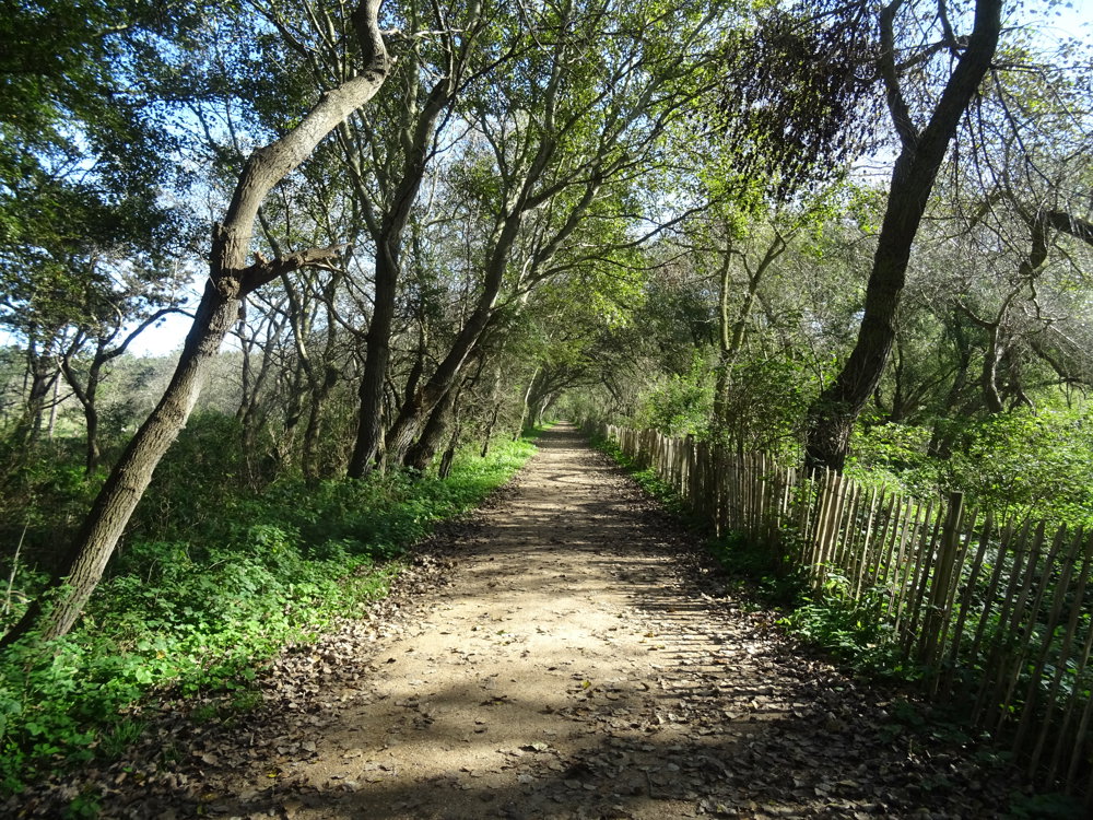
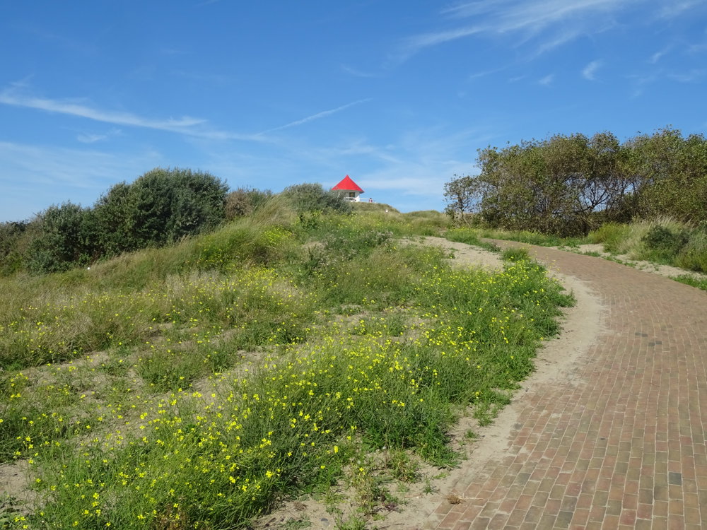
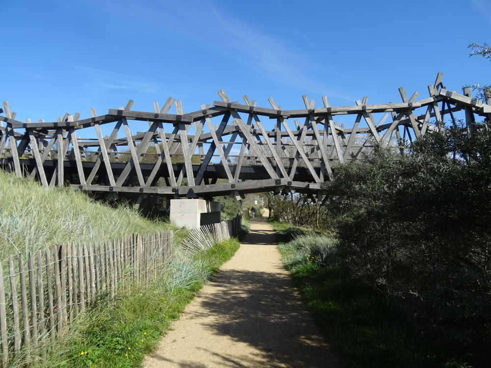
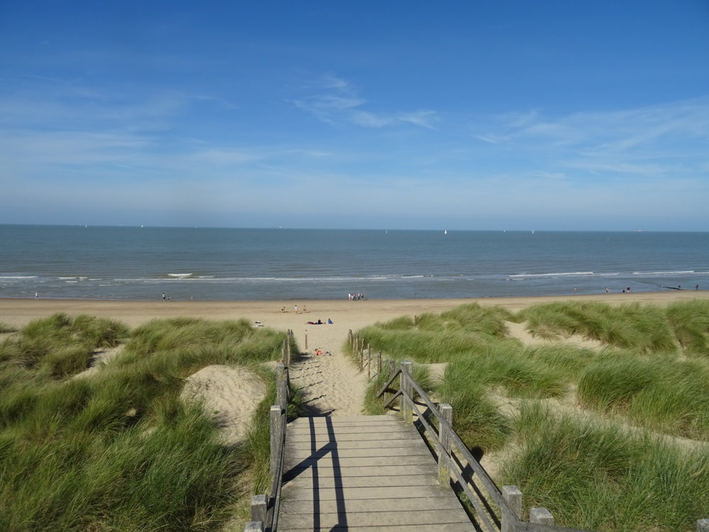
Plenty of parking on the black gravel in Wenduine, through the nature reserve De Zandpanne via Wenduine to the cycling and walking bridge Het Wrakhout and back via the beach to the starting point.

There are dining facilities available in Wenduine.

automatic translation

Icon nodes to follow nodes to follow

Image node 51
0 km
Image node 1
1.3 km
Image node 49
3 km
Image node 48
3.3 km
Image node 47
3.9 km
Image node 45
5.2 km
Image node 46
5.4 km
Image node 47
6.7 km
Image node 48
7.2 km
Image node 50
7.6 km
Image node 2
8.3 km
Image node 52
10 km
Image node 51
10.3 km
This route does not have any reviews yet. Be the first!
Rate route!

Which POI do you want to show on the map?

Experimental hiking network
Unsigned icon

The route you have chosen runs (partly) along an experimental virtual hiking node network (the blue-coloured nodes and sections on the map).

You must be logged in to plan routes here.

Experimental hiking network
Unsigned icon

The route you have chosen runs (partly) along an experimental virtual hiking node network (the blue-coloured nodes and sections on the map).

These routes are not controlled in the field. Before you start hiking here, take a minute to read what an experimental hiking node network is and what rules you should follow when hiking here.