 Hiking
 Login
Login More
More EN
EN Premium
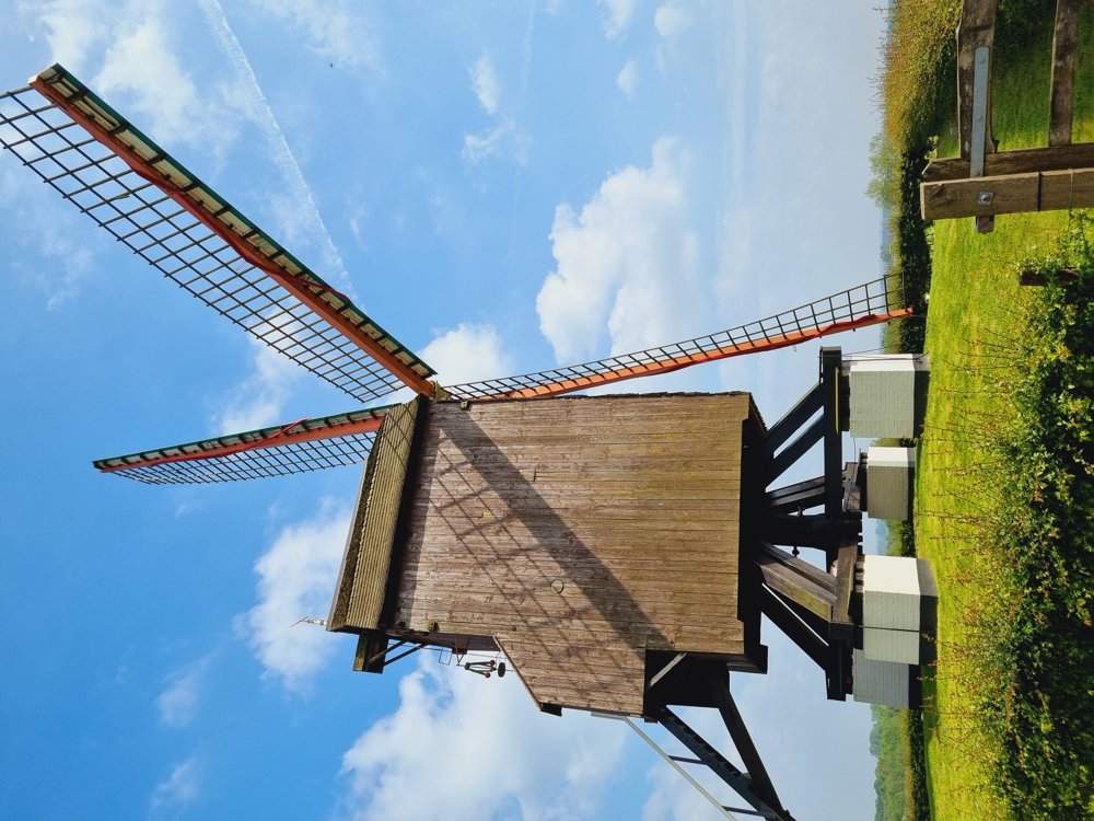
From the Meikens woods to the Poelberg
automatic translation
5.2 km • Dentergem
8003 0 0/5
5.2 km
0.0 km
0.0 km

 Addresse starting point (approximate)
Ankelaarstraat 18, 8720 Tielt, Belgium
 signage
The route is fully signposted with nodes.
© Sarah wandel.hike.belgië
 Description
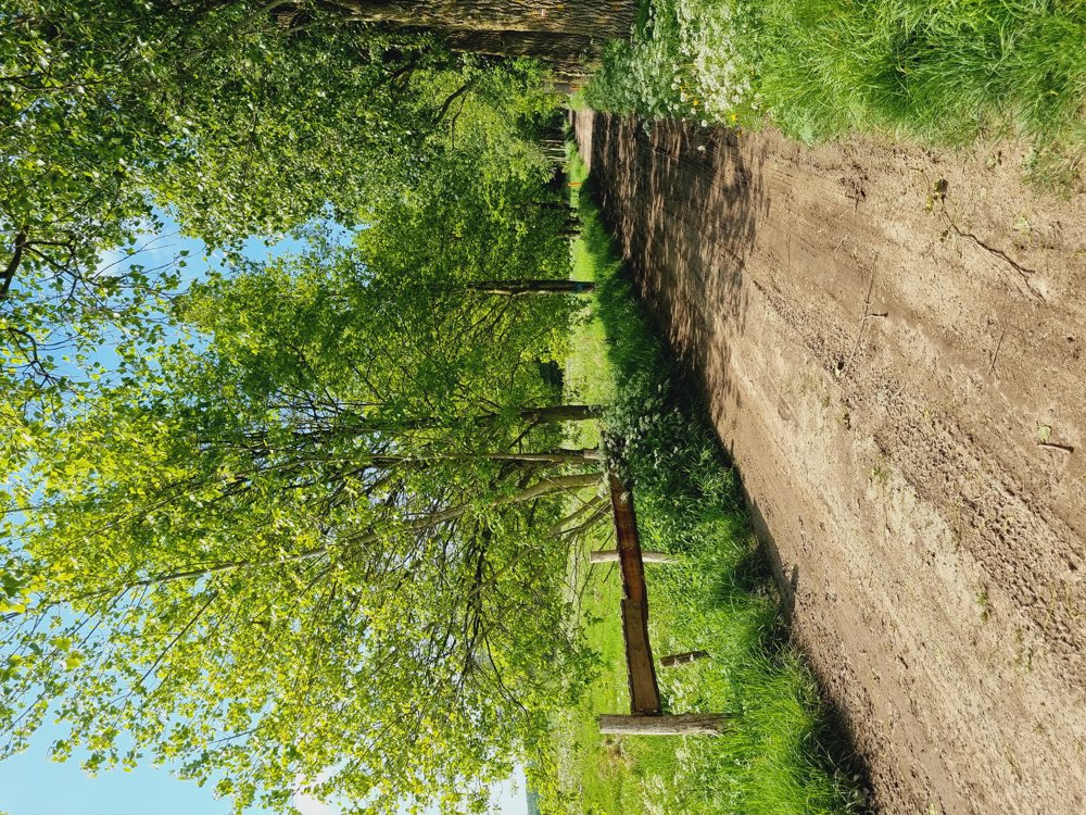
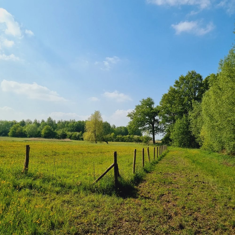
Very quiet neighborhood with little car traffic.
Not many benches, but a cozy brasserie where you can take a break.
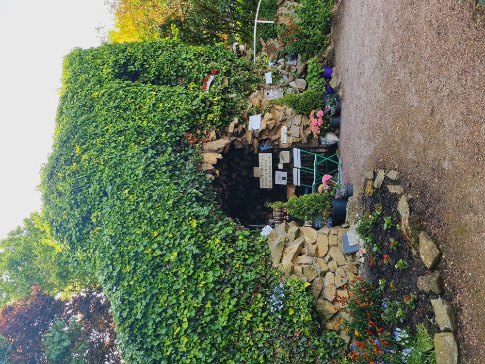
Or a nice stop at the Lourdes grotto on the Poelberg where you can light a candle.
Don't miss the fruit vending machine with the tastiest strawberries (between junctions 29 and 31).
Dogs on a leash are welcome.
Not buggy-proof.
Not wheelchair accessible.
@brasserie_poelberg
Parking: Ankelaarstraat at no. 55, Dentergem (Tielt) [West Flanders]
Enjoy your walk.
automatic translation
 nodes to follow
0 km
0.2 km
0.3 km
0.4 km
0.4 km
0.6 km
0.7 km
0.8 km
1.3 km
1.5 km
1.9 km
2.3 km
2.8 km
2.8 km
3.5 km
3.8 km
4 km
4.2 km
4.6 km
4.9 km
4.9 km
5.2 km


 Upgrade to Premium Plus
