 Hiking
 Login
Login More
More EN
EN Premium
In and around Ryckevelde
automatic translation
4.7 km • Beernem
1.6294 2 3/5

 Addresse starting point (approximate)
57WM+85 Beernem, Belgium
 signage
The route is fully signposted with nodes.
 Description
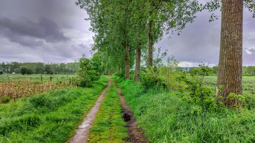
This is a beautiful walk through Domein Ryckevelde, a 180-hectare forest located at the border of Bruges, Damme, and Beernem.
It is best to park at the Schobbejakshoogte parking lot, where you can join the path directly opposite heading towards junction 21.
From KP21, you walk along the forest edge and have a view of the Meersengebied, as the Assebroekse Meersen border this forest. After the first stretch of forest, you will walk from KP 48 through some Gemene and Lo meadows, which have preserved their medieval status to this day. The Gemene and Lo meadows, locally known as 'de Wee,' are unique: 850 people, the 'aanborgers', own 80 hectares of farmland together.
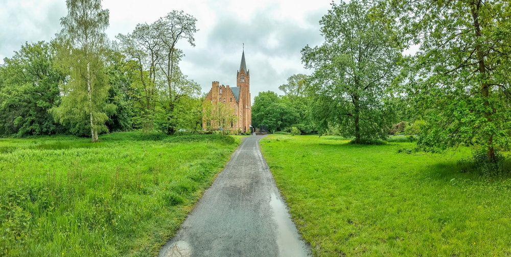
A bit further along, you will pass the Ryckevelde Castle estate, where you can stop for a snack and a drink. Between KP18 and KP17, you will find the domain's botanical garden.
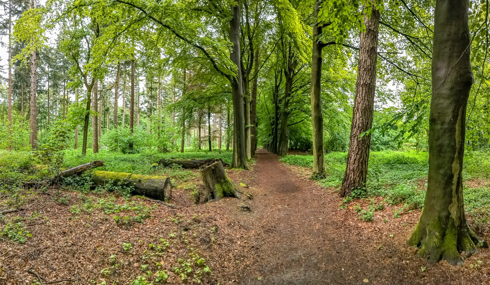
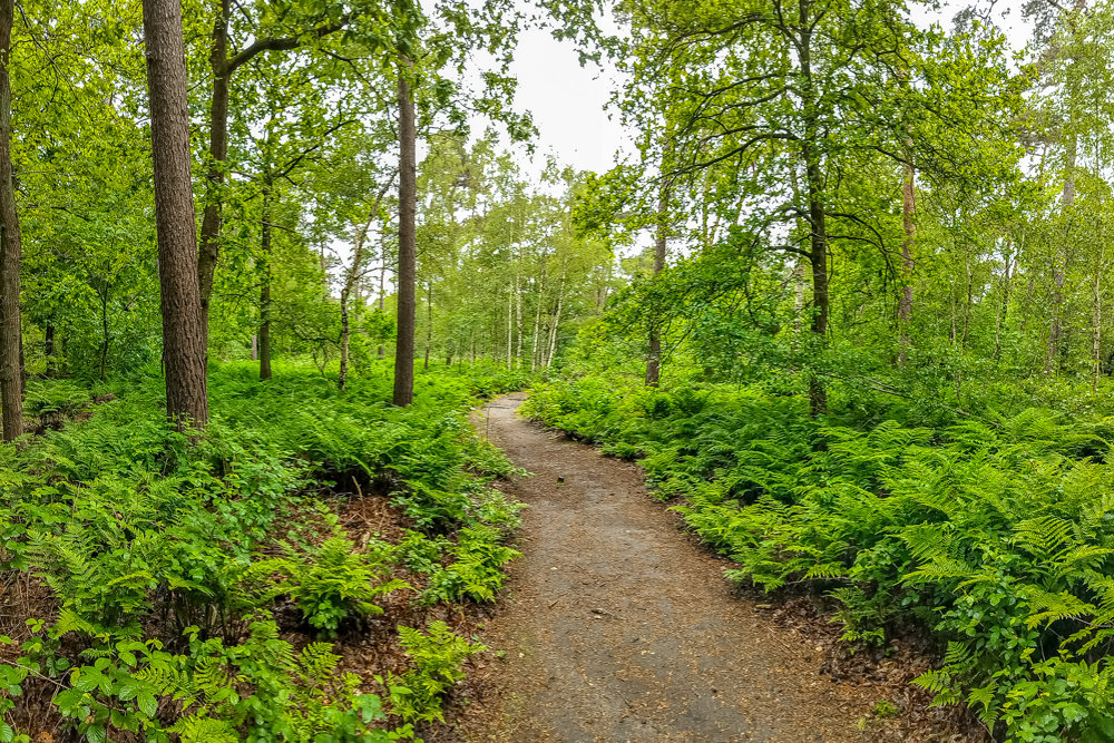
The walk constantly alternates between wide avenues and narrow forest paths until the end point!
automatic translation
 nodes to follow
0 km
0.2 km
0.5 km
0.6 km
1.2 km
1.4 km
1.7 km
2.5 km
3 km
3.5 km
3.7 km
4 km
4.7 km
Thursday, June 27, 2024 by pieter claeysVery nice route a few km from my door but why 'Beernem' is mentioned is a mystery!
automatic translation
Thursday, June 27, 2024 by R.D.Unfortunately, once again, they forgot to mention accessibility by public transport. Over 35% of Flemish people do not have a car!
automatic translation
Thursday, June 27, 2024 by pieter claeysThere is a bus anyway that runs from the station to Sijsele and stops along Maalse Steenweg near the route close to node 15.
automatic translation


 Upgrade to Premium Plus
