 Hiking
 Login
Login More
More EN
EN Premium
South Campine Castles along the Nete Valley
automatic translation
12.6 km • Heist-op-den-Berg
6843 0 0/5

 Addresse starting point (approximate)
Ijzerenweg 36, 2235 Heist-op-den-Berg, Belgium
 signage
The route is fully signposted with nodes.

 Description
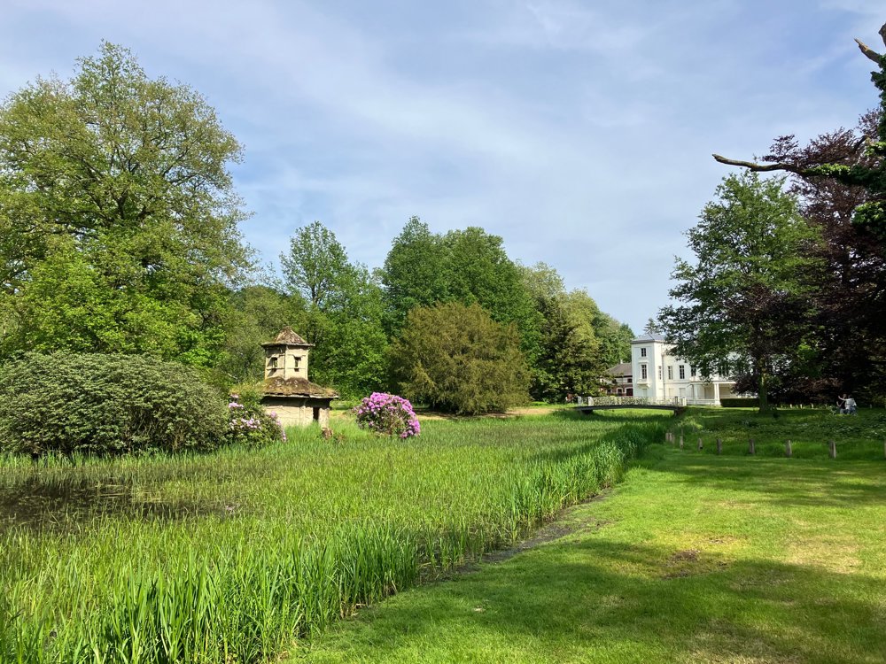
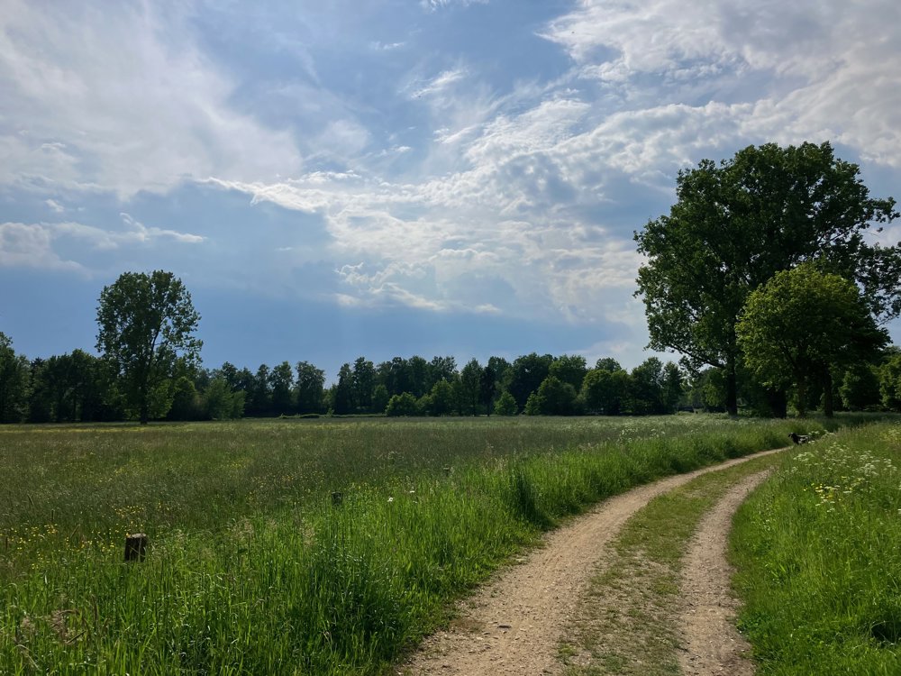
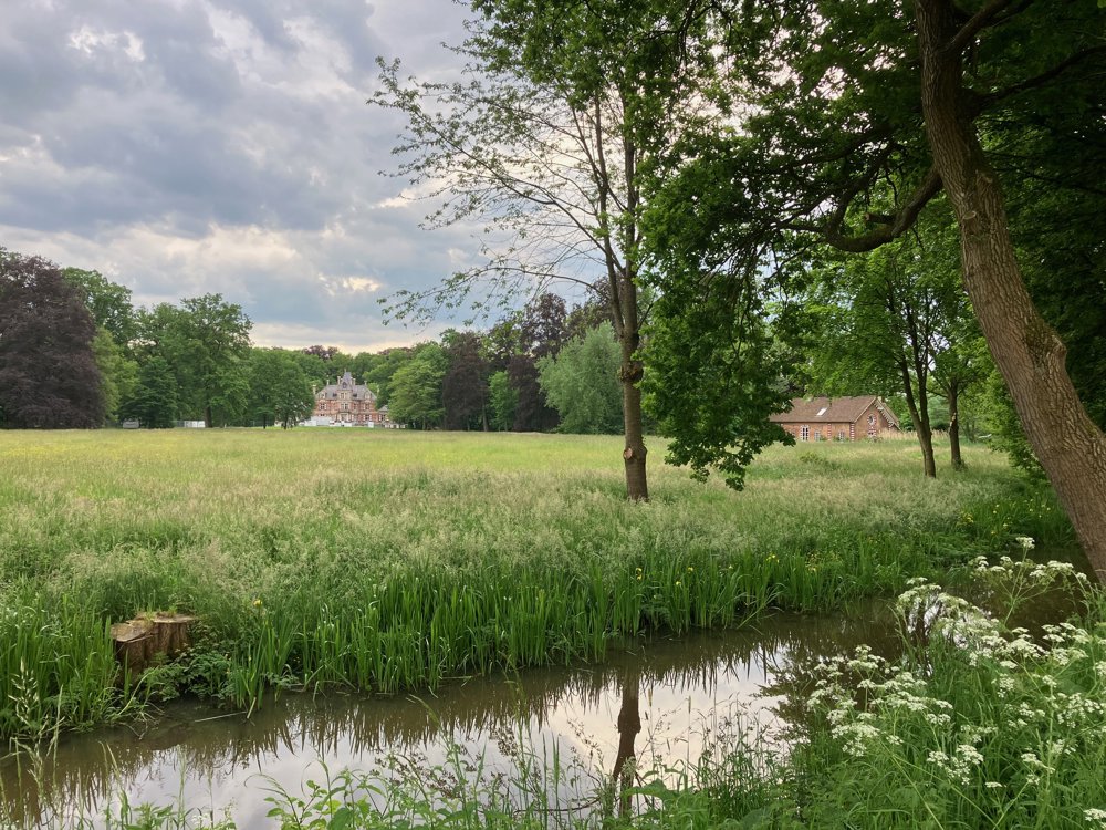
Along the banks of the Grote Nete with its typical fauna and flora, you pass frog ponds and charming bridges. Through meadows and along an old railway track, you search for an old church ruin and the castle Hof ter Borght in Westmeerbeek.
Once again, the lively banks of the Nete and quiet streets take you via the Herenbossen to the castle estate Hof Ter Laken in Booischot. The route can be easily shortened if you start at the Pallieterhoeve in Booischot. Expanding is easy by exploring the castle domains further than just the indicated route.
Along the way, there are frequent benches and opportunities for a drink. In wet weather: high walking shoes necessary. Dogs are allowed on a leash.
automatic translation
 nodes to follow
0 km
1.4 km
2.6 km
3 km
3.2 km
3.8 km
4 km
4.8 km
5.8 km
6.9 km
7.2 km
7.2 km
7.5 km
8 km
8.3 km
9.1 km
10.1 km
10.5 km
10.7 km
10.7 km
10.9 km
11.5 km
11.8 km
12.1 km
12.3 km
12.6 km


 Upgrade to Premium Plus
