 Hiking
 Login
Login More
More EN
EN Premium
Blankaart Panorama Walk
automatic translation
6.1 km • Diksmuide
 official route
2.42013 0 0/5

 Addresse starting point (approximate)
Zuidbroekstraat 12, 8600 Diksmuide, Belgium
 signage
The route is fully signposted with nodes.
 Description
West Flanders is much more than just the sea. This beautiful walk through De Blankaart at the edge of the Yser Valley in Diksmuide proves it. You start at '’t Hof van Rhille', at walking junction 11, a dairy farm where you can enjoy a delicious ice cream or drink afterwards.
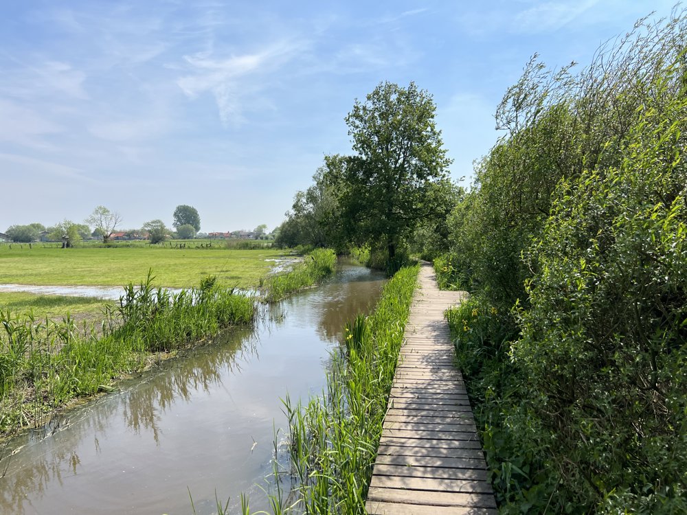
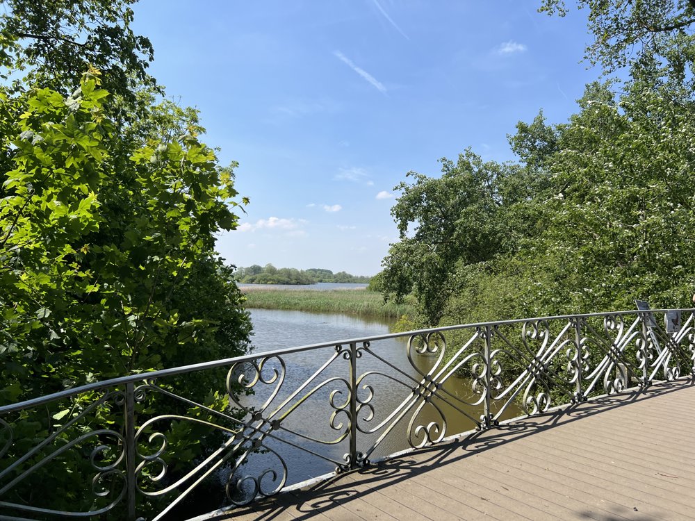
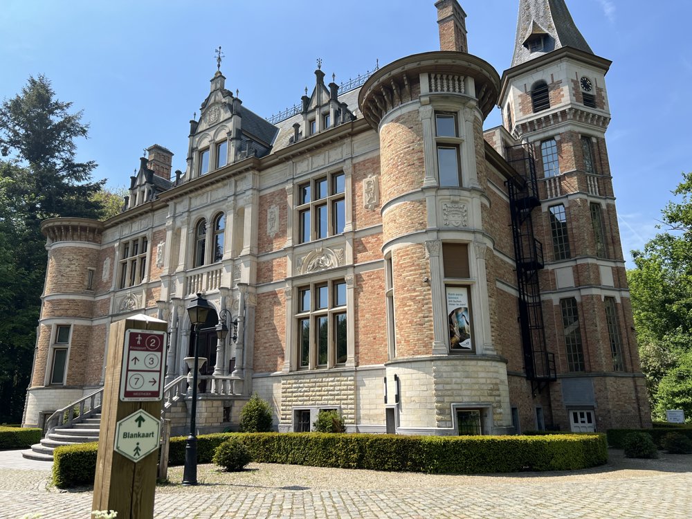
You quickly enter De Blankaart, a beautiful nature reserve where you can spot many rare birds. At the entrance of this area, you can pause next to an idyllic castle on one of the numerous rest benches. You continue your walk over a footbridge where you have a unique view over the Blankaart pond. Various boardwalks lead you through a surprising and diverse landscape.
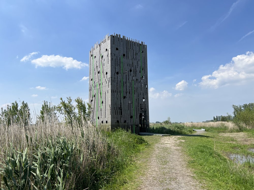
It's not the longest walk, but if you enjoy the views at the bird watching huts everywhere, this route makes a beautiful excursion that you won't forget anytime soon.
automatic translation
 nodes to follow
0 km
0.5 km
0.6 km
0.6 km
1.2 km
1.7 km
1.9 km
2.3 km
2.6 km
2.7 km
2.9 km
3.1 km
3.3 km
3.4 km
3.4 km
3.5 km
3.7 km
3.9 km
4 km
4.5 km
5.6 km
6.1 km


 Upgrade to Premium Plus
