Loading...

Kalmthout connection road

automatic translation

15.9 km • Kalmthout

3131 0 0/5

15.9 km 0.0 km 0.0 km

route offered by

Robert Van der Herten

Icon starting point Addresse starting point (approximate)

Roelands Venloopke, Parking Zuid Grenspark, 2920 Kalmthout, Belgium

Icon type signage of route signage

The route is fully signposted with nodes.

5m 5m 5m 5m
© Robert Van der Herten

Icon description route Description

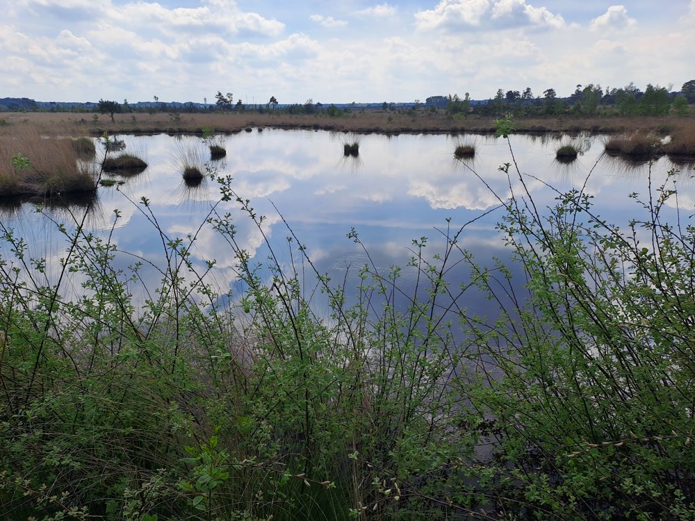
Beautiful walk along Stappersven, a gem of the Kalmthout Heath. Due to heavy rainfall, some parts may experience flooding. Appropriate footwear is a must.

Parking is possible on the connecting road itself.

automatic translation

Icon nodes to follow nodes to follow

Image node 3
0 km
Image node 64
1.3 km
Image node 70
2.3 km
Image node 1
2.4 km
Image node 2
3.7 km
Image node 68
4.2 km
Image node 67
4.8 km
Image node 99
6.1 km
Image node 27
6.8 km
Image node 26
9.5 km
Image node 15
11 km
Image node 14
12.8 km
Image node 13
12.9 km
Image node 14
12.9 km
Image node 99
14.2 km
Image node 67
15.5 km
Image node 3
15.9 km
This route does not have any reviews yet. Be the first!
Rate route!

Which POI do you want to show on the map?

Experimental hiking network
Unsigned icon

The route you have chosen runs (partly) along an experimental virtual hiking node network (the blue-coloured nodes and sections on the map).

You must be logged in to plan routes here.

Experimental hiking network
Unsigned icon

The route you have chosen runs (partly) along an experimental virtual hiking node network (the blue-coloured nodes and sections on the map).

These routes are not controlled in the field. Before you start hiking here, take a minute to read what an experimental hiking node network is and what rules you should follow when hiking here.