 Hiking
 Login
Login More
More EN
EN Premium
Bruges-Assebroek Walk
automatic translation
14.3 km • Brugge
2.4877 1 5/5

 Addresse starting point (approximate)
Brugge Station perron B1, 8000 Brugge, Belgium
 signage
The route is fully signposted with nodes.
 Description
The walk starts at Brugge station, so it's perfect for those coming by train. 🚂
Highlights⤵️
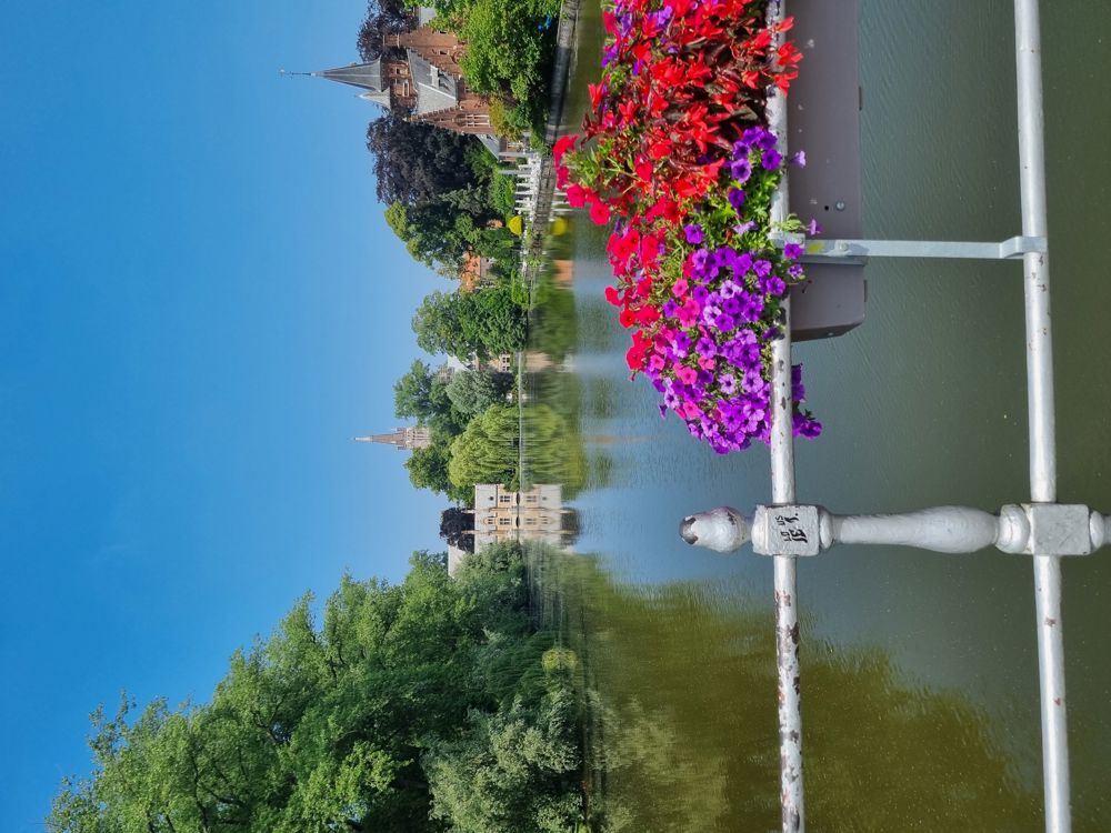
🦢 Stroll along Minnewater Park
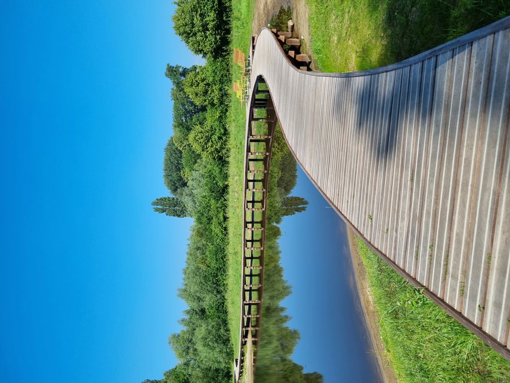
🎠 Discover the new Stevens Park with its recently laid boardwalk
🌿 Relax in the Gemene Weidebeek nature reserve
🐮 Walk past Hoeve Hangerijn
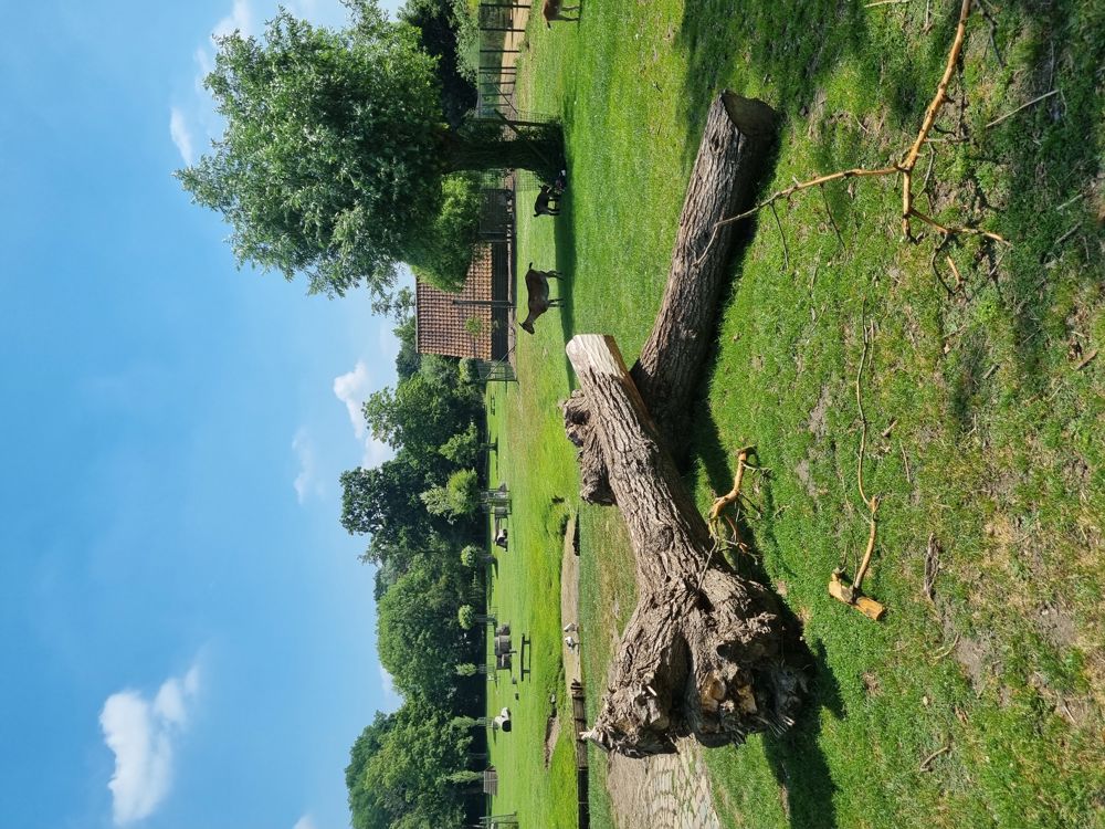
🐑 Explore the Children's Farm of 'the seven towers'
Catering on the way:
🍽 🍺 't Leenhof
Or at the children's farm (between nodes 28 and 29)
📏 14.5 km
(45% unpaved)
🔢 1-2-3-13-12-11-10-9-24-23-46-45 pause at 't Leenhof
25-26-27-28-29-5-4-2-1
🐕 Dogs on a leash.
👶 Buggyproof.
📍Start & finish
Station Square (Front of the station) Brugge
(West Flanders)
🅿️ Interparking Station, Chantrellstraat 42-62, Brugge (Paid)
automatic translation
 nodes to follow
0 km
0.6 km
0.9 km
3.8 km
4.5 km
5 km
5.2 km
5.5 km
6 km
6.4 km
6.7 km
7.6 km
8.8 km
9.1 km
9.8 km
10.1 km
11.4 km
11.8 km
12.2 km
13.7 km
14.3 km
Tuesday, September 24, 2024 by M.V.Hello , easy to reach via NMBS,De Lijn or Parking BRUGGE STATION , public toilets ( swimming pool +/- nr.13 ) + resto nr.45 + petting zoo +/- nr.28-29 ) = lots of lots of lots of GREEN : woods and meadows once leaving Bruges there and back , quiet walk = AN ADVICE . Attention at clinic St. Lucas from nr 27 to 28 to the left.
automatic translation


 Upgrade to Premium Plus
