 Hiking
 Login
Login More
More EN
EN Premium
Pleasure Tour Rocherath - "Lichtenbach valley"
7.6 km • Büllingen
 official route
1.1172 0 0/5
 Addresse starting point (approximate)
Memorial Hasselpath, 4760 Büllingen
 signage
The route is fully signposted with nodes.
 Description
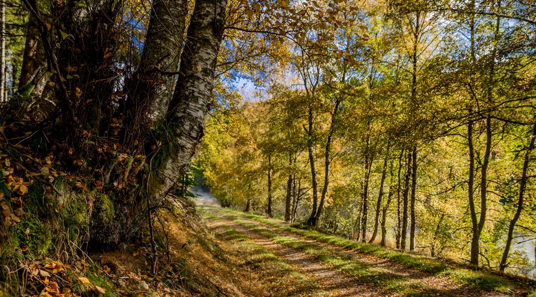
A visit to the depths of the woods. Today's hikers appreciate this silence. As did the smugglers of olden days.
On the Hasselpath, the flat country around Büllingen turns into a series of remote valleys. Access to them seems to have something secret about it and is probably only familiar to those who can go through the woods without fear. Firs and beech trees line the path through the conservation area. We continue downhill until we hit the Belgian-German border. Here, the forest is so deep and dense that it swallows all sounds and becomes shrouded in mystery.
The Johnny Nysten Bridge is in memory of the soldier of the American occupying forces who helped German civilians out by smuggling commodities after the Second World War. When he was arrested, he was shot dead in cold blood. Before we stomp back up the hill, a clearing arouses our curiosity. Are we perhaps going to get to see the fauna of this majestic state forest today? Shortly before we reach our destination, we pass places at which young Americans and Germans fought. A war memorial was erected in their honour.
Marking: 31 - 38 - 43 - 32 - 33 - 31
Parking: Hasselpath
Equipment: bring water and a picnic
 nodes to follow
0 km
2.6 km
2.8 km
3.8 km
5.6 km
7.5 km


 Upgrade to Premium Plus
