 Hiking
 Login
Login More
More EN
EN Premium
Pleasure Tour Sourbrodt - "The Fens of Sourbrodt"
8.1 km • Waimes
 official route
1.0741 0 0/5
 Addresse starting point (approximate)
Rue de la Station, 4950 Waimes
 signage
The route is fully signposted with thematic signs (no nodes).
 Description
It’s not one history and one language that have influenced Sourbrodt, but two. Down in the valley, the village is Belgian through and through. But in the district around the station, its German origin cannot escape you. When you look at the station building, you can easily imagine one of the old locomotives coming in, puffing out clouds of steam over the Vennbahn.
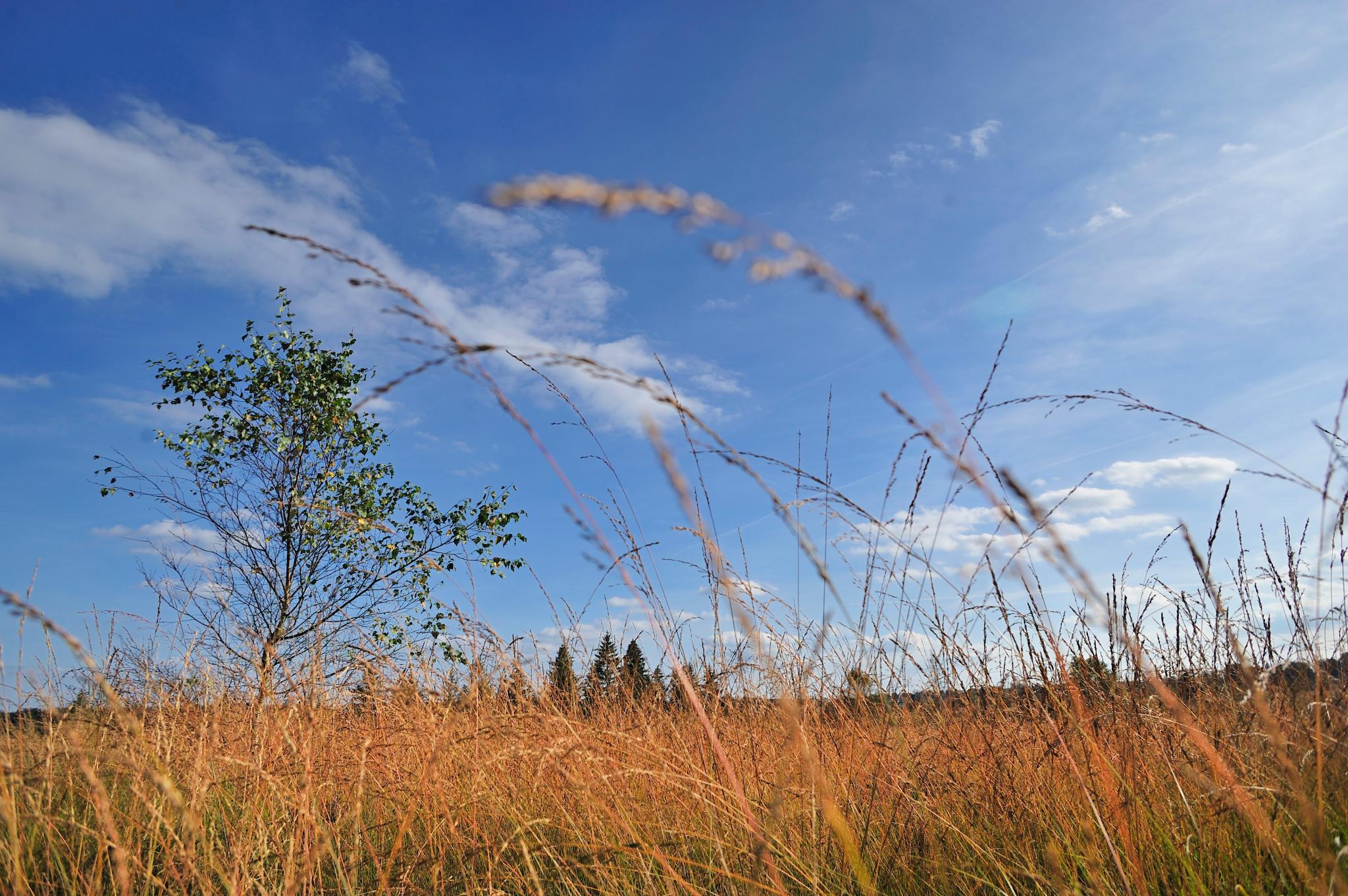
At the end of the trail, beyond the last windbreak of spruces, the biotope of the High Fens extends. The route runs directly to the Rur, black like all the streams in the high country. A windbreak of conifers grows around Troupa Fen. This uninviting, steppe-like area was the Waterloo of Russian prisoners of war: a Russian orthodox cross reminds us of their desperate struggle for survival.
On the way back, the landscapes bear the familiar characteristics that you can discover in the albums of the comic artist Didier Comès, who was born here and created an eternal memorial to this landscape with his art.
Signposting: green rectangle and logo "arctic starflower"
Parking: next to the former railway station
Equipment: hiking shoes


 Upgrade to Premium Plus
