 Hiking
 Login
Login More
More EN
EN Premium
Pleasure Tour Xhoffraix - The land of Négus
15 km • Malmedy
 official route
1.1100 0 0/5
 Addresse starting point (approximate)
Route de la Baraque Michel 51, 4960 Malmedy
 signage
The route is fully signposted with thematic signs (no nodes).
 Description
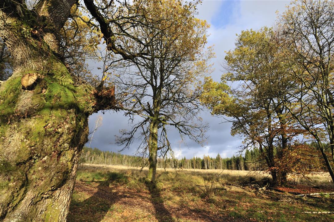
After just a few hundred metres, we enter the fen territory. In front of us lies Fraineu Fen, wonderful and still pristine. Thanks to the LIFE project, it was possible in other places to rid more than 300 hectares (740 acres) of heath and moor of spruce trees, thus increasing the open areas by a considerable amount. In this boggy heathland, the Trôs-Marets, a genuine mountain stream, rises.
The Trôs-Marets will accompany us throughout this hike. After a few wooden footbridges, we come to the remains of the 'Cabane du Négus'. A hermit lived here in the years around 1950. We leave the heathland and come to the 'Six Hêtres' (Six Beeches) in the forest, a place at which shepherds rested in former times. Another astonishing place is the marshland of the 'Chôdires', populated with birch, alder and trembling poplar. A little further on, the wild, the foaming Trôs-Marets effervesces along beside us, emphasising the wild character of this beautiful hike.
Signposting: green rectangle and snake logo
Parking: near the N68, at the intersection of the roads to Xhoffraix and Hockai
Equipment: Bring a picnic and water


 Upgrade to Premium Plus
