 Hiking
 Login
Login More
More EN
EN Premium
Pleasure tour Bévercé - The canyon of Trôs-Marets
5 km • Malmedy
 official route
1.2710 0 0/5
 Addresse starting point (approximate)
Route de la Ferme Libert, 4960 Malmedy
 signage
The route is fully signposted with thematic signs (no nodes).
 Description
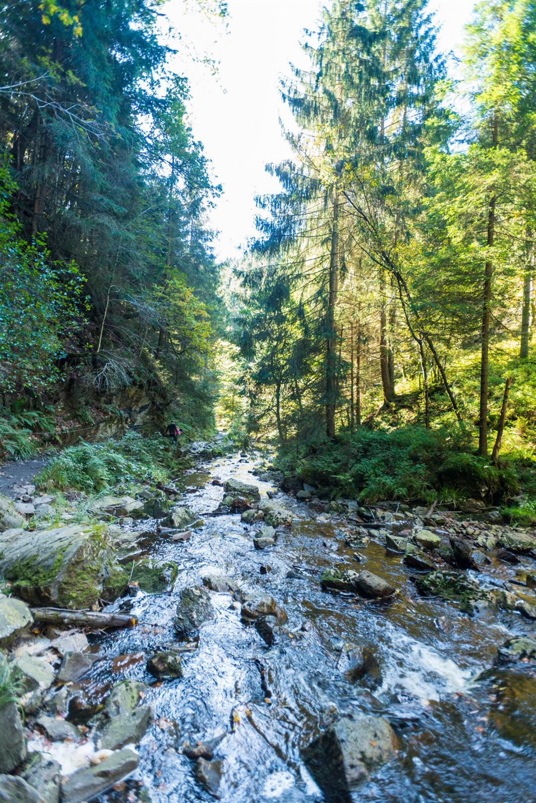
At Ferme Libert the route leads straight into the forest. In the distance, you can hear the Trôs-Marets hurling itself into the valley. A genuine mountain stream, which has forced its way through hard slate and quartzite rock. The path you have to take to reach it goes past the flank of the hill and proves quite tricky in places. This is mountain scenery, and that impression is enhanced by the presence of a cable which has been installed on the rock along the stream for safety.
A bridge gives us access to the opposite bank. We come to one of the wildest scenes in the region. The further we follow the course of the 'Moor-Wildbach', the narrower the valley gets. After another small bridge, we leave the canyon and come to a clearing which was, until quite recently, still populated by tall spruces. The landscape becomes more open towards the nearby hills of the fens. By a wayside cross, we leave the ridgeway to the left to return towards the point we started from.
Signposting: blue rectangle and logo vulture
Parking: along the Route de la Ferme Libert
Equipment: hiking shoes, water bottle & snack


 Upgrade to Premium Plus
