 Hiking
 Login
Login More
More EN
EN Premium
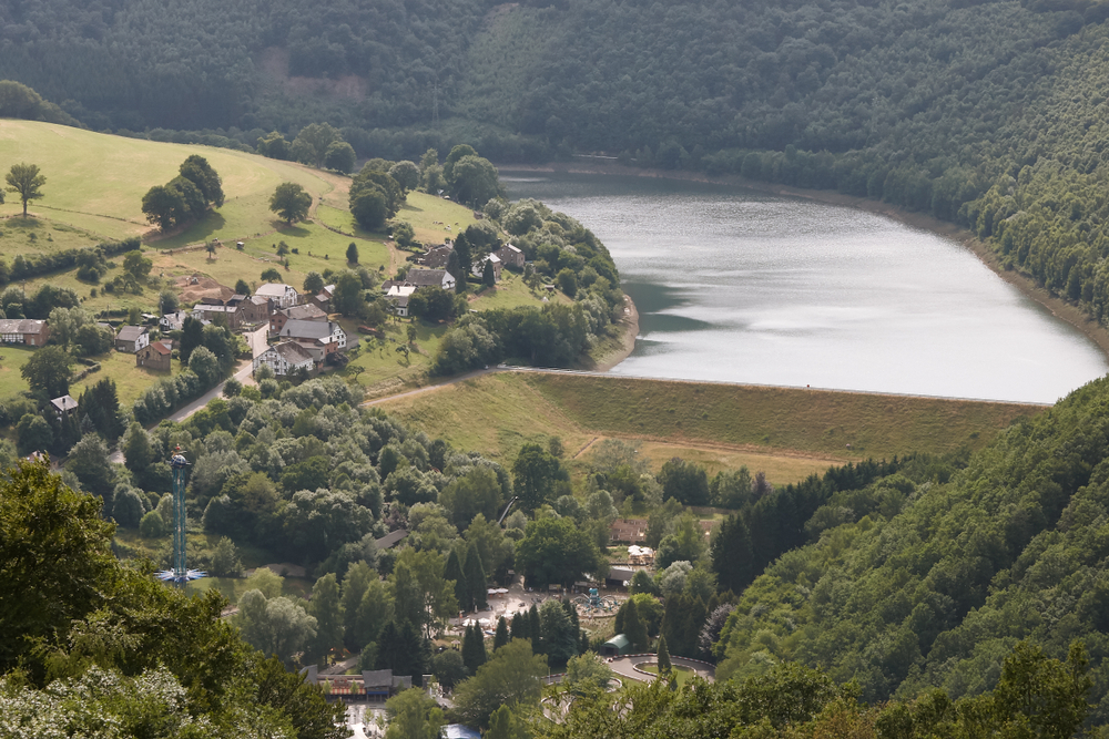
Panorama of Coo
automatic translation
6.8 km • Coo
7910 0 0/5
route offered by
 Addresse starting point (approximate)
COO Cascade, 4970 Stavelot, België
 signage
The route is not signposted. Use a GPS device or our app to follow the route through the virtual nodes.
 Description
Discover the beauty of Belgian nature. Your journey begins with a steep climb to Belvédère Thiry, where you are rewarded with a stunning panorama over Coo. Let your camera capture the beauty, as this place is truly worth a photo. The next highlight on your route is Point de vue de Lancre. This open field, situated on the edge of the Lancre forest, offers a fantastic view that could be straight off a postcard. The village of Trois-Ponts twinkles in the distance and you might witness paragliders gracefully taking to the sky.
The conclusion of this tour is none other than the breathtaking Waterfalls of Coo. They are among the most photographed natural wonders of Belgium and make a spectacular end to your walk. Learn about their rich history dating back to the 15th century and discover how the waterfall symbolises the untameable power of nature.
automatic translation
 nodes to follow
0 km
0.7 km
4 km
4.6 km
5.2 km
6.3 km
6.7 km
6.8 km


 Upgrade to Premium Plus
