Dune Dream Walk
automatic translation
5.9 km • Koksijde
2.4170 0 0/5

Doornpannestraat 6, 8670 Koksijde, België

The route is fully signposted with nodes.


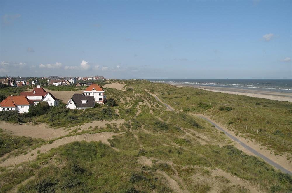
Discover the breathtaking natural beauty of the West Flemish coast with this walking route through the Doornpanne and Schipgat dunes, a unique natural area just behind the coastline of Koksijde. This 5.9 km long trek takes you through a landscape of parabolic dunes and shrubbery, where the Hoge Blekker, the highest dune ridge on the Flemish coast, stands as a natural monument.
Your hiking adventure continues through the 18-hectare Hoge Blekker nature reserve. Here, you can experience the unique biodiversity of marram grass tufts, which support the thriving dunecap mushroom species, and you may even spot the rare crested lark. Throughout the year, you can enjoy the fascinating landscapes along the hiking trails. With this route, you dive into the heart of natural beauty and experience the calming atmosphere of the coast that is so characteristic of this special environment.
automatic translation

0 km
0.1 km
0.7 km
1.2 km
1.8 km
3.8 km
4.8 km
5.5 km
5.8 km

 Hiking
 Login
Login More
More EN
EN Premium


 Upgrade to Premium Plus


