 Hiking
 Login
Login More
More EN
EN Premium
Store pants
automatic translation
5.4 km • Turnhout
2080 0 0/5
5.4 km
0.0 km
0.0 km
route offered by
Toerisme Provincie Antwerpen
 Addresse starting point (approximate)
Startpunt Winkelsbroek - Kerk van Zevendonk Glazeniersstraat 1, 2300 Turnhout
 signage
The route is fully signposted with thematic signs (no nodes).
© © Toerisme Provincie Antwerpen - Auteur: Mie De Backer
 Description
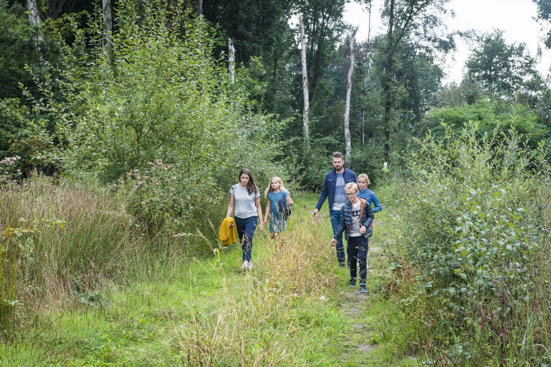
Winkelsbroek lies on both sides of the valley of the Great Kaliebeek. You will find a relatively intact strip of nature with lots of development opportunities for flora and fauna.
automatic translation


 Upgrade to Premium Plus
