 Hiking
 Login
Login More
More EN
EN Premium
Discovery tour in Turnhout
automatic translation
10.5 km • Turnhout
1810 0 0/5
route offered by
Toerisme Provincie Antwerpen
 Addresse starting point (approximate)
Hollandsestraat knooppunt 15
 signage
The route is fully signposted with nodes.
 Description
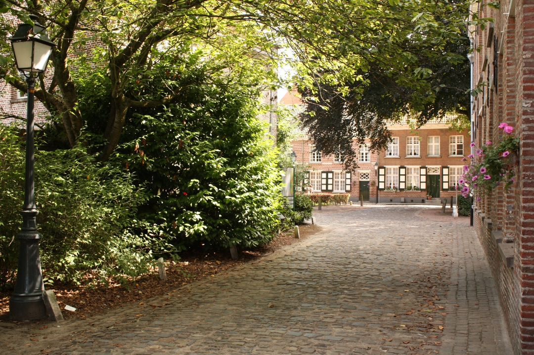
"Discovering the bustling center of Turnhout and breathing the fresh forest air in the green outskirts of town: this hike has it both ways. The first part of the walk takes you along the Dessel-Turnhout canal towards the Den Doolhof forest reserve. A little later you dive into the center of the 'capital of the Kempen'. Among other things, you will discover the medieval castle of the dukes of Brabant, the beguinage (UNESCO world heritage site), the national museum of playing cards and cultural house De Warande.
Tip: From the roof terrace in the 72-meter-high Turnova Tower, you have a stunning view of the brand-new city district of Turnova."
automatic translation
 nodes to follow
0 km
0.3 km
1 km
1.2 km
1.3 km
1.5 km
1.6 km
2.1 km
2.8 km
3.4 km
5.2 km
6.5 km
7.5 km
7.9 km
7.9 km
9.5 km
9.6 km
9.6 km
9.9 km
10.5 km


 Upgrade to Premium Plus
