 Hiking
 Login
Login More
More EN
EN Premium
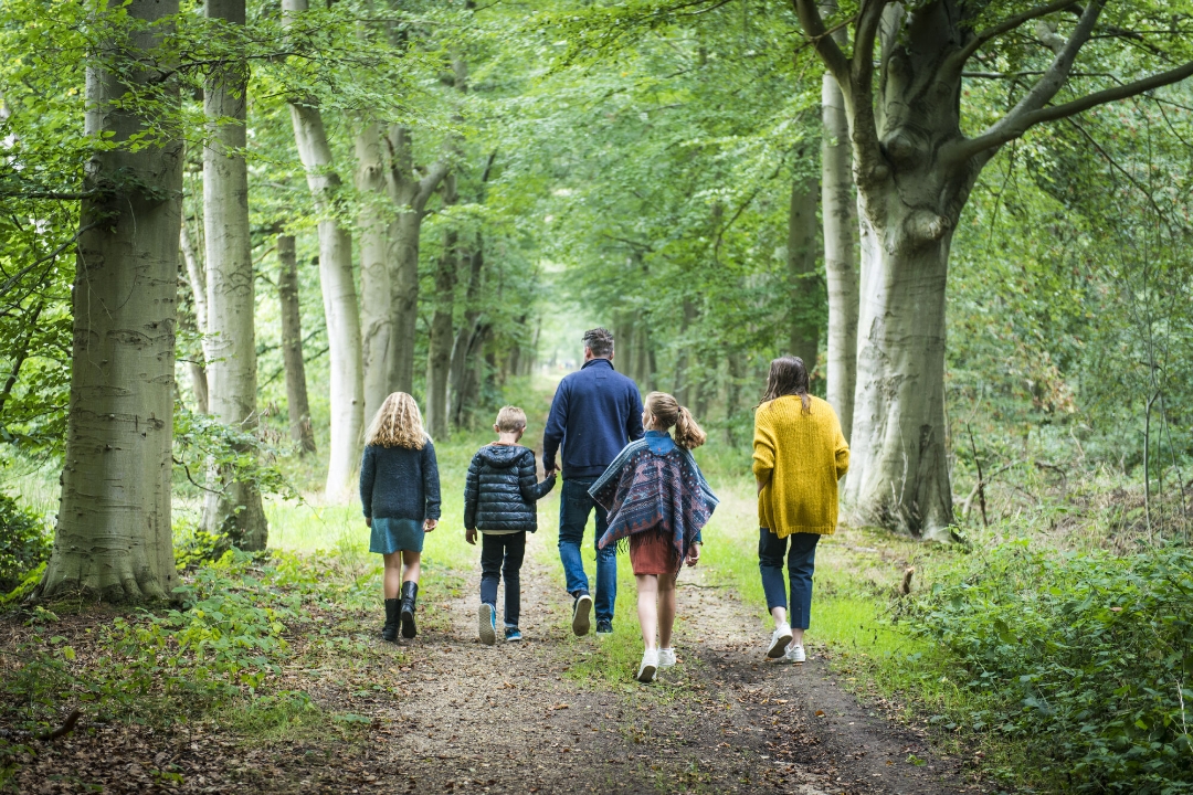
Jos Aerts hiking trail
automatic translation
9.7 km • Turnhout
1910 0 0/5
9.7 km
0.0 km
0.0 km
route offered by
Toerisme Provincie Antwerpen
 Addresse starting point (approximate)
klein engeland 29 Turnhout
 signage
The route is fully signposted with nodes.
© © Toerisme Provincie Antwerpen - Auteur: Mie De Backer
 Description
On May 26, 1984, the original "Jos Aerts hiking trail" was inaugurated. It was then a route of about fifteen kilometers through the Turnhouts Vennen area. This was pre-eminently the working area of Jos Aerts. Recently a team of volunteers re-inventoried the flora on this route and compared it with the flora from the plant album of Jos (1909 - 1982).
automatic translation
 nodes to follow
0 km
0.4 km
1.2 km
1.2 km
1.5 km
1.7 km
2 km
2.6 km
3.1 km
3.3 km
3.4 km
3.9 km
4.1 km
4.2 km
4.3 km
4.5 km
4.5 km
4.7 km
5.3 km
6 km
6.1 km
6.3 km
6.3 km
6.6 km
6.8 km
7.1 km
7.6 km
7.7 km
8 km
8.5 km
9.3 km
9.4 km
9.7 km


 Upgrade to Premium Plus
