 Hiking
 Login
Login More
More EN
EN Premium
Castles
automatic translation
11.4 km • Turnhout
8234 0 0/5
11.4 km
0.0 km
0.0 km
10 km
© OpenStreetMap contributors, Tracestrack
route offered by
Toerisme Provincie Antwerpen
 Addresse starting point (approximate)
klein engeland 29 Turnhout
 signage
The route is fully signposted with nodes.
© © Toerisme Provincie Antwerpen - Auteur: Mie De Backer
 Description
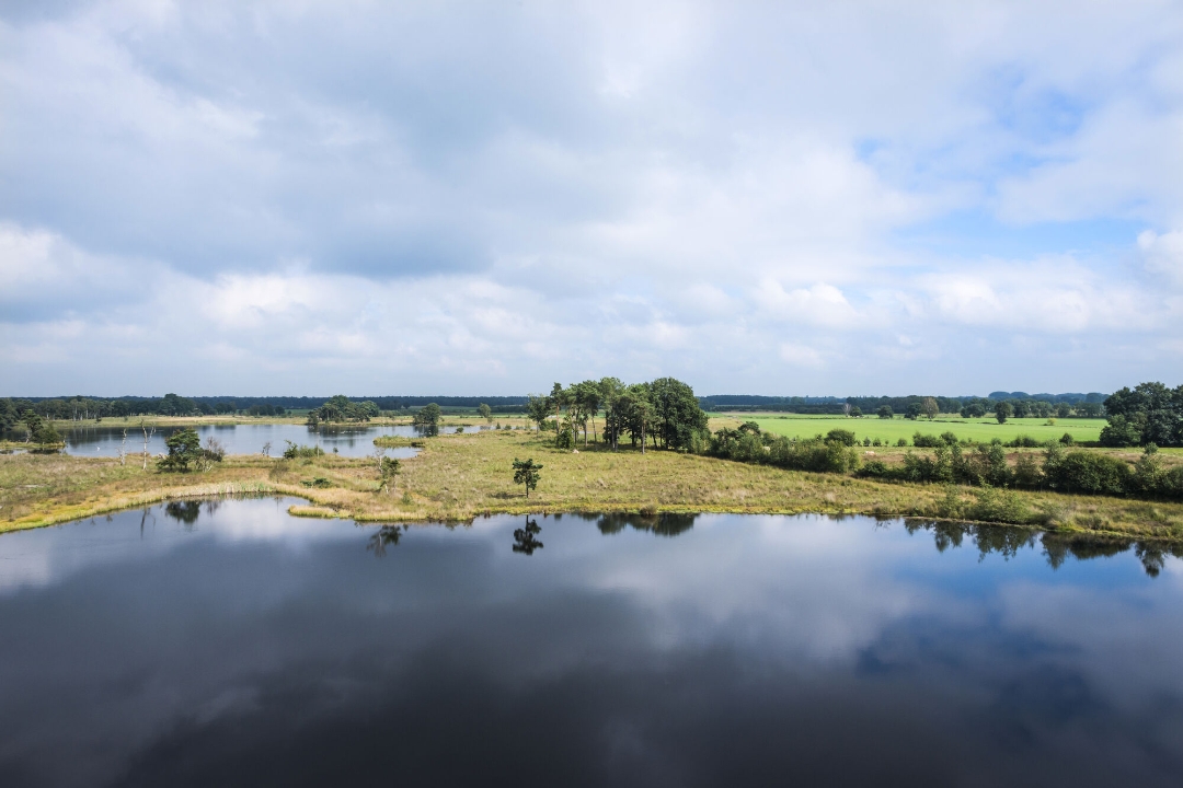
Ballematen, De Kasteeltjes, Hoogmoerheide, Nonnenmoer, Bieheide, Zwart Water and Zandvenheide are areas you pass by. As you can see from the toponyms, the aspect used to be defined by heathland, fens and marshes. Later, coniferous and deciduous trees were planted. Now it is a colorful mixture of mostly wet relief-rich meadows, re-established heather relicts, heath-rich grasslands, mixed forest and fields.
automatic translation
 nodes to follow
0 km
0.4 km
1.2 km
1.6 km
1.8 km
2.9 km
3.4 km
4.6 km
5 km
6 km
7.1 km
8.4 km
9 km
9.4 km
9.5 km
9.9 km
10.2 km
10.4 km
10.8 km
11.2 km
11.4 km


 Upgrade to Premium Plus
