 Hiking
 Login
Login More
More EN
EN Premium
Along Musselgoren and Neerhelst
automatic translation
13.1 km • Geel
8000 0 0/5
route offered by
Toerisme Provincie Antwerpen
 Addresse starting point (approximate)
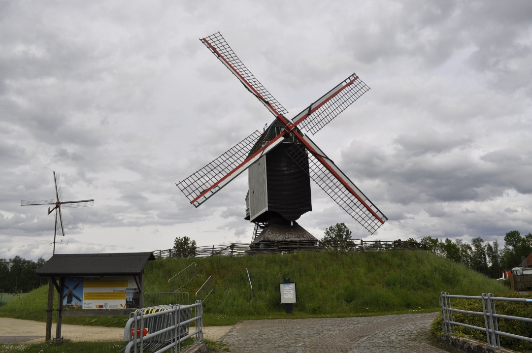
"Molen van ’t Veld Zeggendijk z/n 2440 Geel"
 signage
The route is fully signposted with thematic signs (no nodes).
 Description
"Nature reserve Mosselgoren is a real natural mosaic. You will find deciduous and alder bog forests, reed beds, moist hay meadows and pools. The various streams are reminders of the past, when Mosselgoren belonged to a flood area of the Kleine Nete. Various animals feel at home here due to the rich variety of biotopes.
The Larum nature reserve Neerhelst is 14 hectares and consists mainly of wet hay meadows, a number of pools, a sand dune, a coppice forest and several grazing pastures with sheep. The beautiful landscape is often visited by different species of insects, birds and butterflies. For example, you can admire the orange tip, atalanta, tree blue and other species of butterflies. The landscape is also covered with different kinds of flora that are definitely worth visiting. For example, you have the water strawberry, small rattle, spotted orchid and other plant species.
Beware: The Mosselgoren is an open area where a lot of rare birds (reed warbler, bluethroat, reed bunting, nightingale...) nest right up against the trail. Even a leashed dog could cause a lot of disturbance here. Therefore, exceptionally, no dogs are allowed in Mosselgoren. 'Enjoy your walk along the Mosselgoren and Neerhelst nature reserves, the towpaths along the Bocholt-Herentals Canal and small-scale heritage sites such as the bailey bridge and the Mill of 't Veld.'"
automatic translation


 Upgrade to Premium Plus
