 Hiking
 Login
Login More
More EN
EN Premium
Zammelsbroek
automatic translation
9.7 km • Geel
3960 0 0/5
route offered by
Toerisme Provincie Antwerpen
 Addresse starting point (approximate)
"parking Sint-Laurentiuskerk Zammel Zammelseweg 196 2440 Geel"
 signage
The route is fully signposted with nodes.
 Description
"In the valley of the Grote Nete, at the very south of Geel, between Zammel and Oosterlo, lies the Zammelsbroek. A huge nature reserve characterized by numerous ponds and marshes as well as dry sandy soils. The Zammelsbroek I also the ideal breeding ground for numerous bird species such as the reed warbler, the bluethroat and the kingfisher.
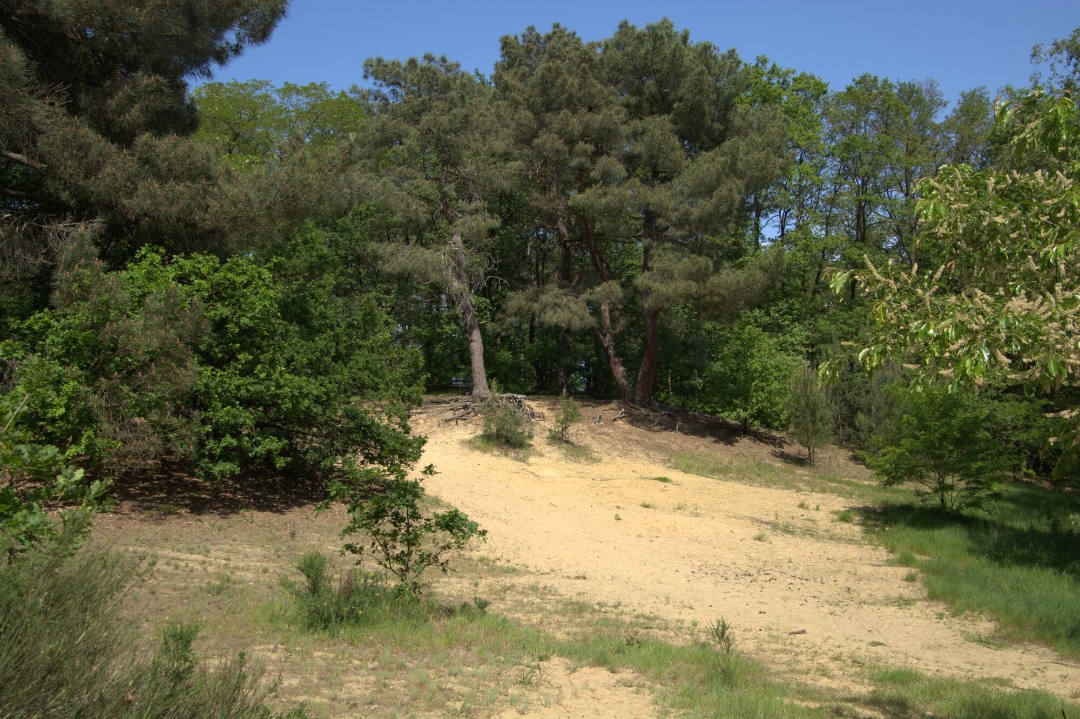
Between Junctions 370 and 54 you pass the St. Dimpna Chapel. The old well next to the chapel was already visited by pilgrims in the Middle Ages because of the healing water it was said to contain. A little further on the higher Kalvarieberg appears, an immense sand dune, which in turn is home to little owls, sparrow hawks and various species of woodpecker.
"
automatic translation
 nodes to follow
0 km
0.3 km
1.6 km
2.4 km
2.7 km
3 km
4.5 km
5.8 km
7.1 km
8.1 km
8.1 km
8.2 km
9.4 km
9.7 km


 Upgrade to Premium Plus
