 Hiking
 Login
Login More
More EN
EN Premium
Nature reserve The Fens
automatic translation
4.5 km • Balen
2050 0 0/5
route offered by
Toerisme Provincie Antwerpen
 Addresse starting point (approximate)
Natuurpunt de Beekprik, Peer Luytendijk 9, 2490 Balen
 signage
The route is partially signposted with nodes, partially with thematic signs.
 Description
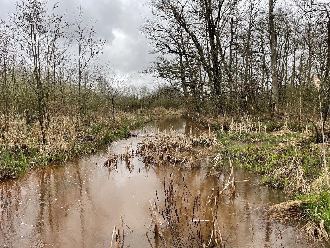
The nature reserve De Vennen is located in the east of the municipality of Balen, between the hamlet of the same name Vennen and the Steenweg on Leopoldsburg. To the north, the nature reserve is bordered by the De Most nature reserve and the Ongelberg district, to the south by the street Schoorheide. Near De Vennen, the Grote Nete flows from Limburg (Lommel-Kerkhoven) into the province of Antwerp. At this location, the Grote Nete is only a modest river of about 3 meters wide, with a still natural meandering course.
automatic translation
 nodes to follow
0 km
0.5 km
1.2 km
1.6 km
2.1 km

2.8 km
3 km
3.2 km
3.5 km
3.9 km
4.2 km
4.5 km


 Upgrade to Premium Plus
