 Hiking
 Login
Login More
More EN
EN Premium
Boulder Hill Walk
automatic translation
11.6 km • Balen
 official route
1.1202 0 0/5
11.6 km
0.0 km
0.0 km
10 km
© OpenStreetMap contributors, Tracestrack
 Addresse starting point (approximate)
"Recreatie- en natuurpark Keiheuvel 17de Esc. Licht Vliegwezenlaan 14 2490 Balen
 signage
The route is fully signposted with nodes.
© © Toerisme Provincie Antwerpen - Auteur: Kim Nagels
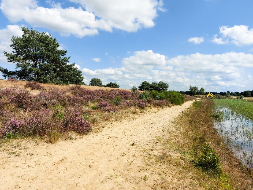
 Description
"Spectacular sands that catapult you briefly to the desert? Check.
Healthy forest air and a sea of purple heather flowers? And or.
Lovely quiet spots and a hammock to take a breather? Absolutely!
The Keiheuvel hike in Balen is the hike of the year 2018."
automatic translation
 nodes to follow
0 km
0.5 km
1.2 km
1.6 km
2 km
2.4 km
3 km
5.1 km
5.4 km
5.8 km
6.4 km
7.3 km
8.4 km
9 km
10.6 km
11.4 km


 Upgrade to Premium Plus
