Map legend (hiking)
Written by
Yannick Mertens 08/08/2023General
In this article, we explain the different types of roads and how they are indicated in the route planner. A distinction is made between signposted routes and virtual routes. We also provide an explanation of the symbols used on the map.
Signposted Routes
Paved Roads
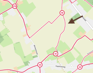
These are shown on our map with a solid red line.

Unpaved Roads
These are shown on our map with a red-white dashed line.
Virtual Routes
On our map, you can find two types of virtual networks. The purple networks are ‘official’ networks. These are set up, managed, and maintained by the provinces.
There are also blue networks, which are set up by NodeMapp itself. These are labeled as ‘experimental.’
Official
Paved Roads
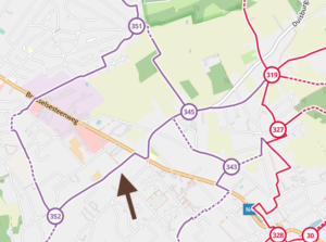
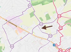
These are shown on our map with a solid purple line.
Unpaved Roads
These are shown on our map with a purple-white dashed line.
Experimental
Paved Roads
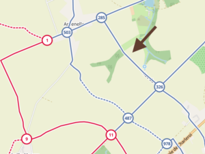
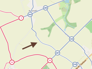
These are shown on our map with a solid blue line.
Unpaved Roads
These are shown on our map with a blue-white dashed line.
Points of Interest
Food and Drink

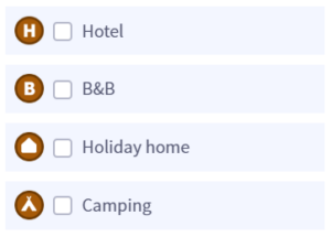
Accommodation
Attractions

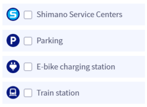
Practical Information

 What do you want to do?
 Login
Login More
More EN
EN Premium


 Upgrade to Premium Plus