 Biking
 Login
Login More
More EN
EN Premium
In the shadow of the Kemmelberg
automatic translation
31.5 km • Ypres
 official route
8.25512 0 0/5

 Addresse starting point (approximate)
Poperingseweg 413, 8908 Ieper, BE
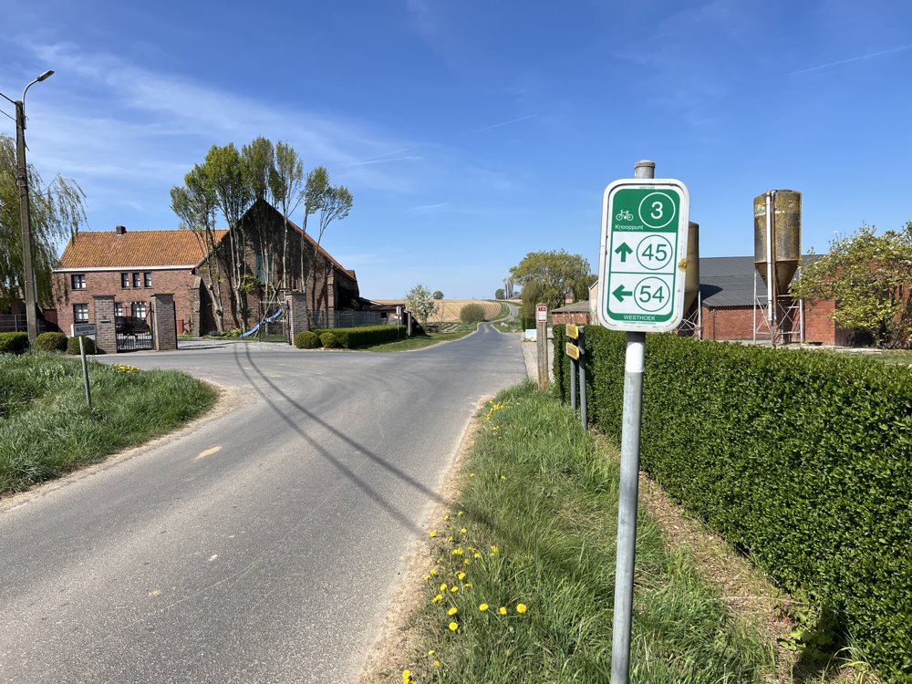
 signage
The route is fully signposted with nodes.
 Description
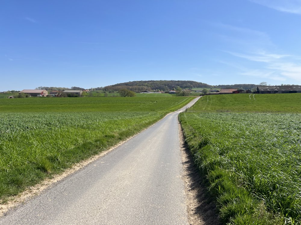
Anyone who thinks that West Flanders has only the sea to offer is very mistaken. South of Poperinge and Ypres, you will find a hilly landscape with the Kemmelberg as the absolute highlight. Cycling fans also know this area from the Flemish cycling classic Gent-Wevelgem.
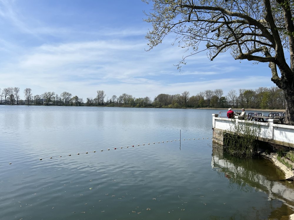
This bike tour starts at the church of Vlamertinge. The route first winds through expansive fields. Soon you reach the Dikkebusvijver where you can also enjoy a cozy terrace. The calm before the storm: a little later you enter Heuvelland and that name says it all; you will accumulate 130 meters of elevation here. On the market square of Kemmel, you can take a break at a cafe.
At several points on this tour, you pass by military cemeteries that are a reminder of the heavy human toll exacted by the First World War.
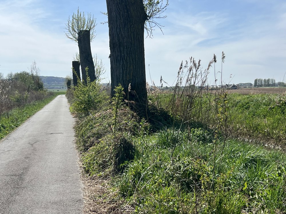
Then you calmly descend back towards Vlamertinge via the Galgebossen. This was a rest and staging area for the English army during the First World War. A varied cycling route!
automatic translation
 nodes to follow
0 km
1.1 km
3.1 km
4.3 km
8.6 km
9.6 km
12.4 km
12.6 km
12.8 km
14.4 km
15.5 km
16.4 km
19 km
20.3 km
25 km
28.6 km
29.1 km
31.5 km


 Upgrade to Premium Plus
