 Biking
 Login
Login More
More EN
EN Premium
Land of Mortagne
automatic translation
83.7 km • Wevelgem
3990 0 0/5

 Addresse starting point (approximate)
Rommelen 29, 8560 Wevelgem, BE
 signage
The route is fully signposted with nodes.
 Description
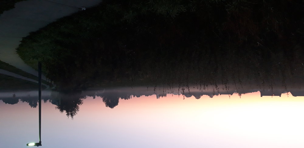
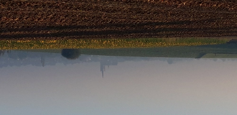
With this route, I want to cross the Land of Mortagne. A region I know for the many beautiful walks I did there using the walking junctions website. A gently rolling landscape, stunning views, with many church paths, old square farms, occasionally a forest, and the Scheldt.
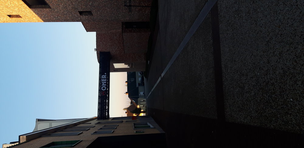
From Gullegem, I ride along lovely paths to Kortrijk. Through beautiful villa neighborhoods in Kortrijk and the attractive bike path near the hospital, I arrive after a first climb in Bellegem.
After a descent, I arrive in Dottignies with its beautiful estate Ronceval. There, I take the Trimaarzate (old railway) towards Avelgem. In Helkijn, I exit and ride to the Scheldt. I follow it until the crossing of the Scheldt with the Bossuit-Kortrijk canal.
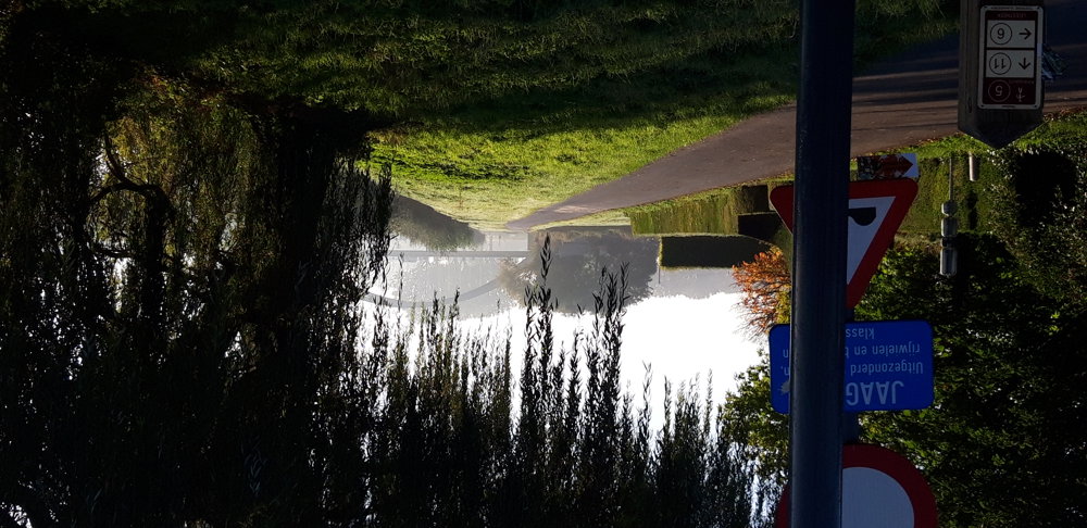
Along Outrijve, a piece of Trimaarzate, I reach the Guldensporenpad, a car-free path from Kortrijk. A little further, I pass another piece through the Land of Stijn Streuvels, Ingooigem, and Vichte. Beautiful route!
automatic translation
 nodes to follow
0 km
2.1 km
4.7 km
6.3 km
7.1 km
8.5 km
8.9 km
9.8 km
12.1 km
16.4 km
16.9 km
17.7 km
19 km
21.7 km
22.9 km
26.4 km
30.2 km
32 km
34.4 km
34.6 km
37.9 km
39.6 km
41.9 km
43.2 km
47.6 km
48.4 km
49.5 km
51.9 km
54.6 km
55.5 km
55.5 km
60.2 km
62 km
65.1 km
67.5 km
68.4 km
68.5 km
68.6 km
68.7 km
69.9 km
72.2 km
72.3 km
73.5 km
74.3 km
74.8 km
74.9 km
77.4 km
80.8 km
80.9 km
80.9 km
83.7 km


 Upgrade to Premium Plus
