Loading...

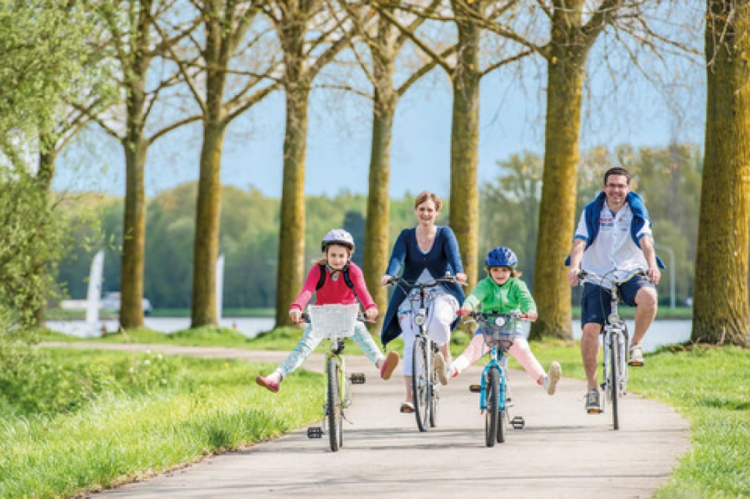
Tournai and its river banks

44 km • Tournai

Icon official route official route

1330 0 0/5

44 km 0.0 km 0.0 km

route offered by

Badge of official route

more info

Icon starting point Addresse starting point (approximate)

Esplanade de l'Europe, 7500 Tournai, BE

Icon type signage of route signage

The route is fully signposted with nodes.

5m 5m 5m 5m
© www.wapinature.be - Coralie Cardon

Icon description route Description

This itinerary explores the countryside near Tournai, all the way the Grand Large de Péronnes: a stunning, 45 hectares water plane. Perfect for a picnic or a drink on its banks!

Its belfry and cathedral, listed by UNESCO, are part of its many gems. Enjoy its pretty streets, the path along the Escault, with narrowboats passing by.

Icon nodes to follow nodes to follow

Image node 47
0 km
Image node 46
0.2 km
Image node 75
2.3 km
Image node 77
3.1 km
Image node 68
3.8 km
Image node 72
5.2 km
Image node 82
7.1 km
Image node 73
8 km
Image node 73
8.1 km
Image node 84
9.3 km
Image node 81
11.1 km
Image node 83
11.7 km
Image node 90
15.3 km
Image node 57
17.2 km
Image node 58
18.1 km
Image node 96
18.9 km
Image node 97
19.6 km
Image node 15
21.3 km
Image node 15
21.4 km
Image node 15
21.4 km
Image node 13
21.5 km
Image node 14
21.8 km
Image node 53
22.6 km
Image node 73
23.4 km
Image node 94
23.7 km
Image node 56
25.4 km
Image node 52
25.6 km
Image node 92
27.7 km
Image node 45
29.1 km
Image node 21
30.5 km
Image node 74
32.4 km
Image node 54
33.1 km
Image node 55
33.1 km
Image node 53
33.6 km
Image node 14
34.5 km
Image node 13
34.7 km
Image node 15
34.9 km
Image node 15
34.9 km
Image node 15
34.9 km
Image node 25
35.9 km
Image node 9
37.2 km
Image node 11
40.1 km
Image node 8
40.2 km
Image node 49
43.4 km
Image node 48
43.6 km
Image node 36
43.7 km
Image node 47
44 km
This route does not have any reviews yet. Be the first!
Rate route!

Which POI do you want to show on the map?

Experimental cycling network
Unsigned icon

The route you have chosen runs (partly) along an experimental virtual cycling node network (the blue-coloured nodes and sections on the map).

You must be logged in to plan routes here.

Experimental cycling network
Unsigned icon

The route you have chosen runs (partly) along an experimental virtual cycling node network (the blue-coloured nodes and sections on the map).

These routes are not controlled in the field. Before you start cycling here, take a minute to read what an experimental cycling node network is and what rules you should follow when cycling here.