 Biking
 Login
Login More
More EN
EN Premium
On the way to a piece of mining region in Hainaut
automatic translation
81.8 km • Belœil
1560 0 0/5

 Addresse starting point (approximate)
Rue De La Chaussée 19, 7971 Basècles, BE
 signage
The route is fully signposted with nodes.
 Description
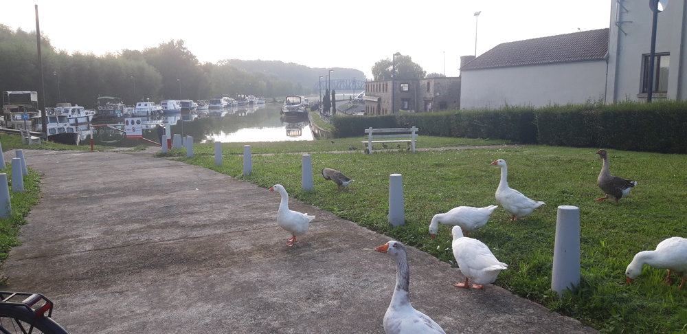
I depart from the church in Thumaide and follow the road to the Nimy-Blaton-Péronnes canal and see the forests in the distance. Along the canal, I pass the Bon-Secours forest where there is supposed to be a treetop walkway.
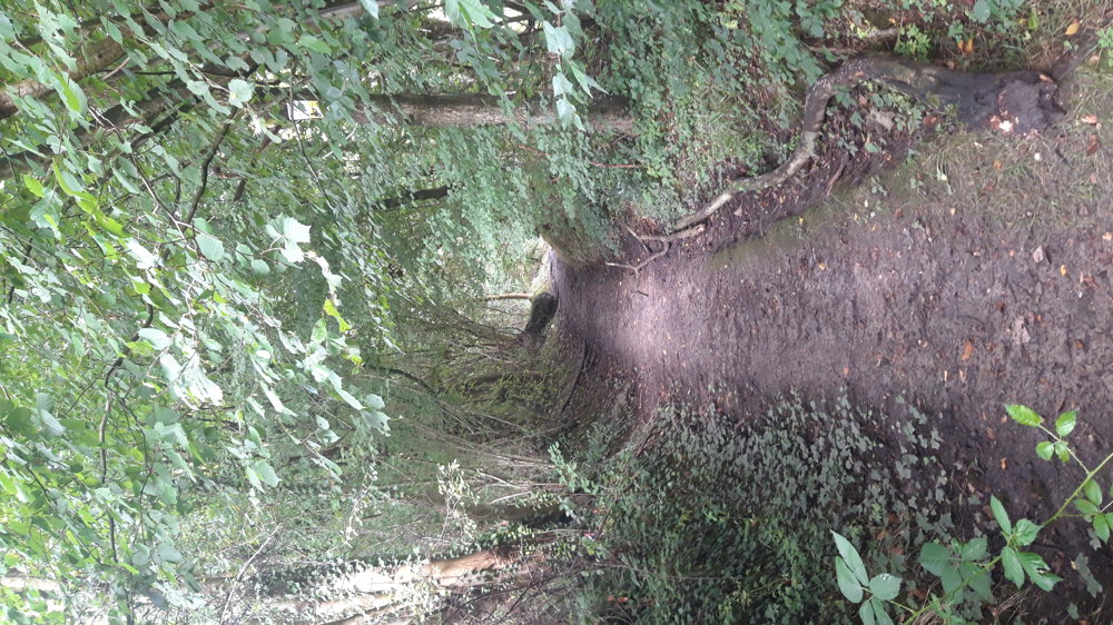
At the Pommeroeul-Antoing canal, I leave the canal towards Pommeroeul. On the way, I pass the marshes of Harchies and continue towards Thulin and Dour. Along this stretch, I often ride on busier roads (this happens often when you cycle in Hainaut), to then start a climb along a muddy path in the forest of Colfontaine.
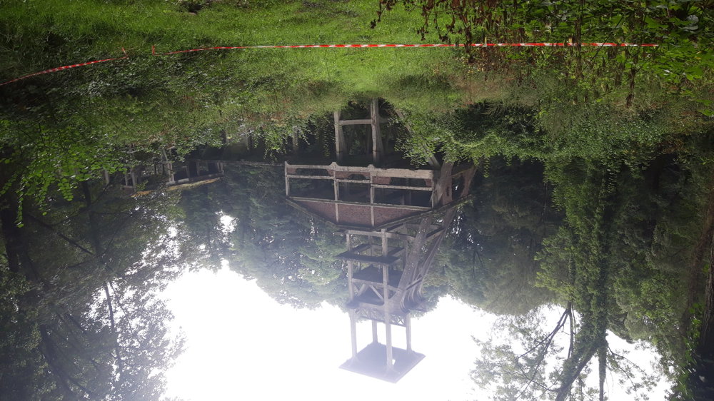
The forest of Colfontaine was threatened with destruction by mining, but it still exists thanks to a large popular demonstration in 1907. At the edge of the forest, I still see a remnant of mining: the Sauwartan Terril, one of the many in the region.
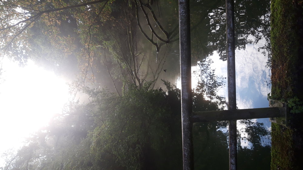
The way back was pleasant cycling along Bossu, the Nimy canal, and RAVeL paths. A varied route, sometimes a busy road, especially around Dour.
automatic translation
 nodes to follow
0 km
3.3 km
5.6 km
8.6 km
9.9 km
12.2 km
12.8 km
13.5 km
14.2 km
14.3 km
14.4 km
14.5 km
16.9 km
18.9 km
21.4 km
21.8 km
22.7 km
25.8 km
25.9 km
26 km
27.7 km
30.2 km
32.9 km
36.7 km
38.4 km
40.8 km
42.3 km
44.5 km
49.5 km
51.5 km
53.3 km
53.9 km
54.9 km
56.7 km
58.3 km
60.7 km
61 km
62.7 km
63.1 km
63.4 km
67.7 km
71 km
71 km
71.1 km
71.2 km
73.2 km
74.3 km
78.5 km
81.3 km
81.7 km


 Upgrade to Premium Plus
