 Biking
 Login
Login More
More EN
EN Premium
The Foothills of the Hill Country French Flanders
automatic translation
91.4 km • Heuvelland
5342 1 5/5

 Addresse starting point (approximate)
Zwartemolenstraat 39, 8951 Heuvelland, BE
 signage
The route is fully signposted with nodes.
 Description
I started from Dranouter, known for its folk festival and located in the beautiful Heuvelland.
To avoid having to climb too much and to visit a less known region, I drove towards France. After descending, I quickly arrived in Beaulieu.
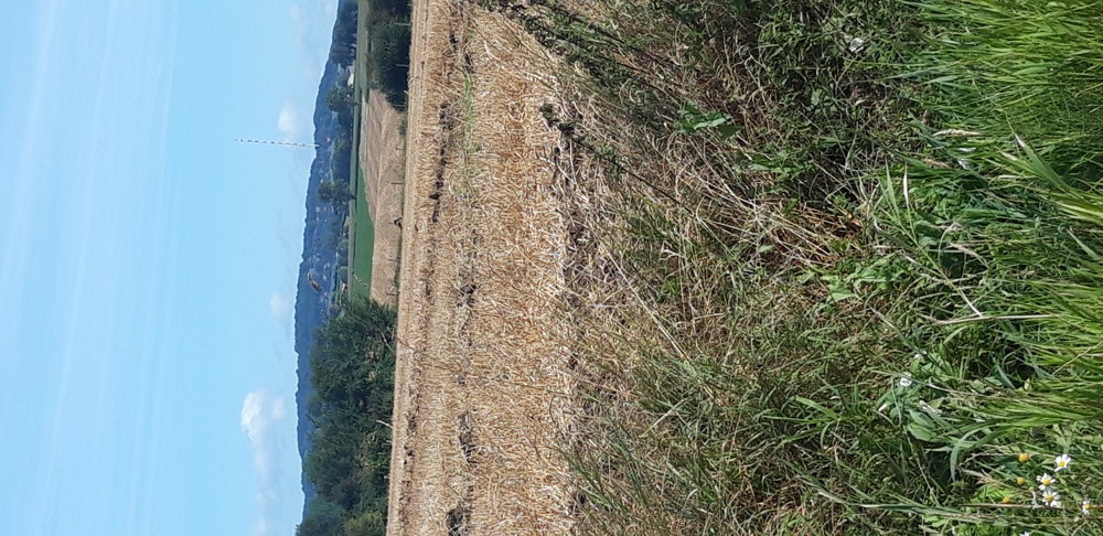
I continue through very quiet, unknown municipalities, with little hospitality and many farmlands along the way. In the distance, you can see the Flemish and French hills.
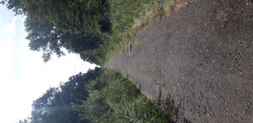
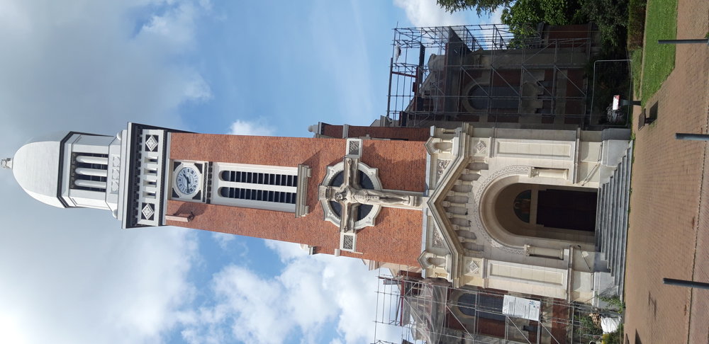
At the farthest point, I pass through the Forest of Nieppe, a very old forest. Emperor Charles V was still involved in managing the forest in 1519. On the way back, I pass through a picturesque village, Steenwerck, with its church with Byzantine influences and yet one cozy terrace.
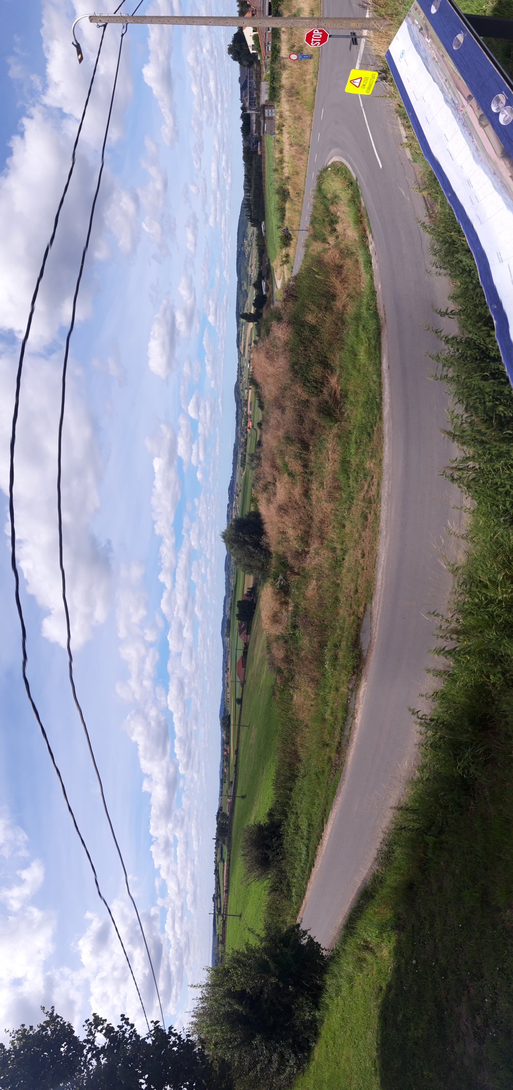
I enter Belgium via Nieuwkerke. There, I can enjoy a beautiful view from a hill where I can see Lille, Armentières, the various hills, and so on.
From Nieuwkerke, I cycle back to Dranouter and think: I'll come back to cycle through Heuvelland itself...
automatic translation
 nodes to follow
0 km
0.8 km
2.6 km
5.3 km
5.3 km
5.4 km
8.7 km
10.3 km
12.5 km
13.2 km
14.2 km
16.6 km
17.5 km
20.1 km
20.9 km
25.7 km
27.1 km
29.6 km
30.9 km
31 km
32.5 km
34.5 km
35 km
35.1 km
37.6 km
39.8 km
40.1 km
40.5 km
42.6 km
45.6 km
46.6 km
49.6 km
50.1 km
54.1 km
55.3 km
57.9 km
58.6 km
59.3 km
60.6 km
62.6 km
63.4 km
67.2 km
68.1 km
70 km
70 km
70.3 km
71.3 km
76.7 km
77.1 km
77.8 km
79.3 km
84 km
85.5 km
85.6 km
89.1 km
91.4 km


 Upgrade to Premium Plus
