 Biking
 Login
Login More
More EN
EN Premium
Untapped cycling pleasure (incl FTDM)
automatic translation
39 km • Maasmechelen
 official route
1.78410 0 0/5
 Addresse starting point (approximate)
Terhills, Zetellaan 68
 signage
The route is fully signposted with nodes.
 Description
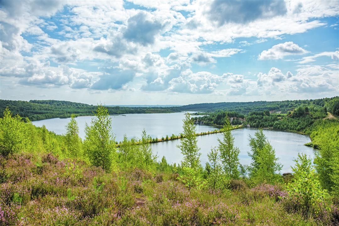
This gently sloping bicycle route takes you through the beautiful Hoge Kempen National Park, an area that owes its unique character to its past as an industrial mining and gravel extraction area. From the former mining site of Eisden you cycle straight through the transformed landscape of Terhills. Here you get an exceptional experience with 'Cycling between the Mijnterrils', where a floating bicycle bridge leads you across the pond between two terrils.
Continue your route through the Mechelse Heide, where the experience trail "Cycling through the Heath" treats you to breathtaking views of the heath landscape, interspersed with rugged pine forests. The former gravel extraction further on creates beautiful water features in the valley of the Kikbeek spring. Through shady forests you cycle towards the photogenic Oud-Rekem, once voted the most beautiful village in Flanders. Paddling along the Zuid-Willemsvaart, the mining site comes into view again, bringing this special route to a close.
automatic translation
 nodes to follow
0 km
8.7 km
8.8 km
11.6 km
11.6 km
15.8 km
19.5 km
23 km
23.7 km
28.3 km
28.7 km
33.3 km
34.4 km
36.7 km
38.9 km


 Upgrade to Premium Plus
