 Biking
 Login
Login More
More EN
EN Premium
Round Fort Eben-Emael, Voeren and Tour Eben-Ezer
automatic translation
52.3 km • Bassenge
7161 0 0/5

 Addresse starting point (approximate)
Rue Du Garage 28, 4690, BE
 signage
The route is fully signposted with nodes.
 Description
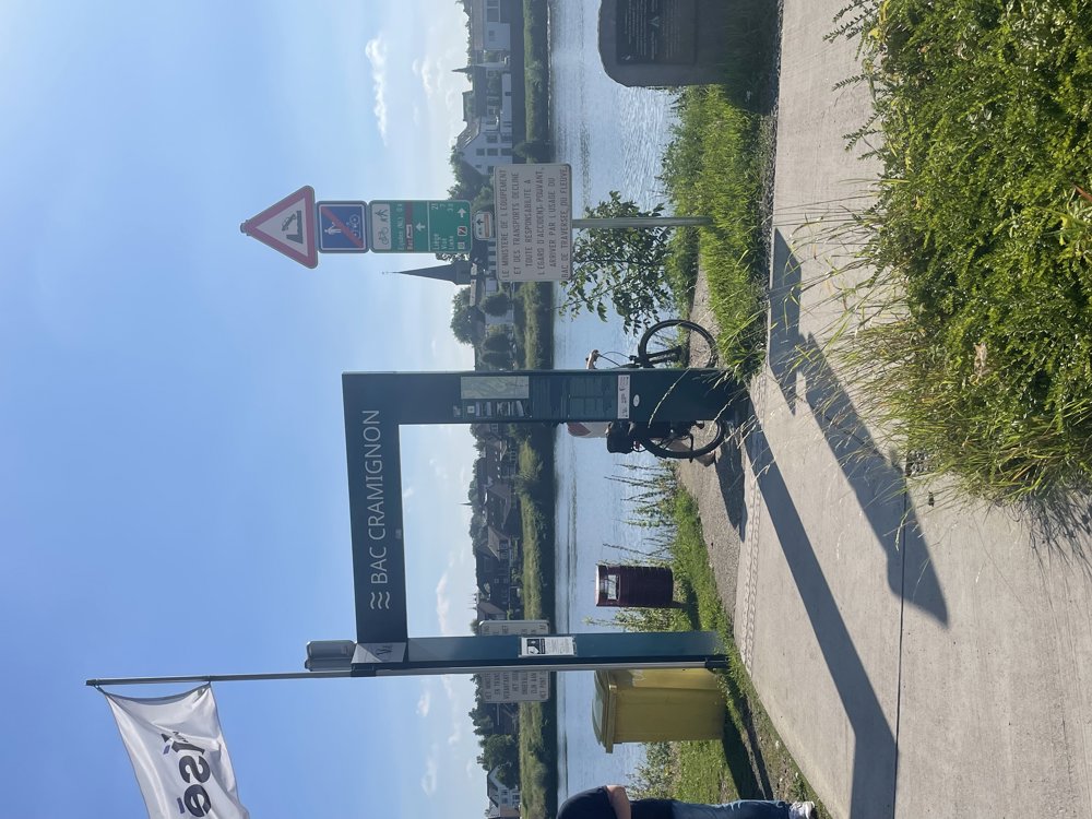
We park at Fort Eben-Emael and cycle towards junction 405.
Over the bridge of the Albert Canal, we reach the Meuse, which we cross by ferry to Eijsden (Dutch Limburg).
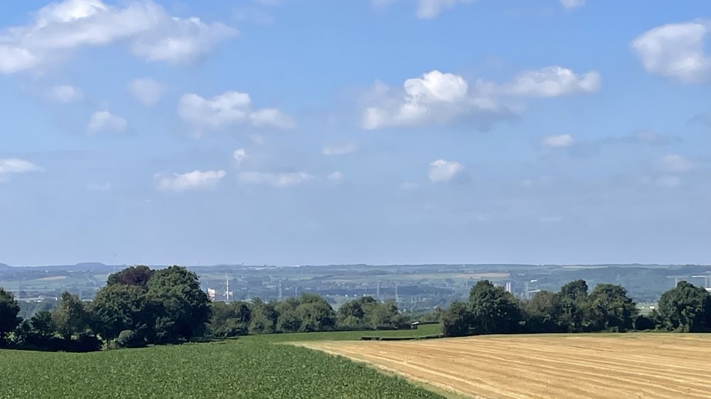
Through beautiful nature, we ride towards Gronsveld, along the Savelsbos and Eckelrade to Sint-Geertruid, and then through a hilly landscape over the Mescherhei with its lookout tower.
Our bike ride continues through the rolling Voeren region to ’s-Gravenvoeren, from where we return towards Moelingen.
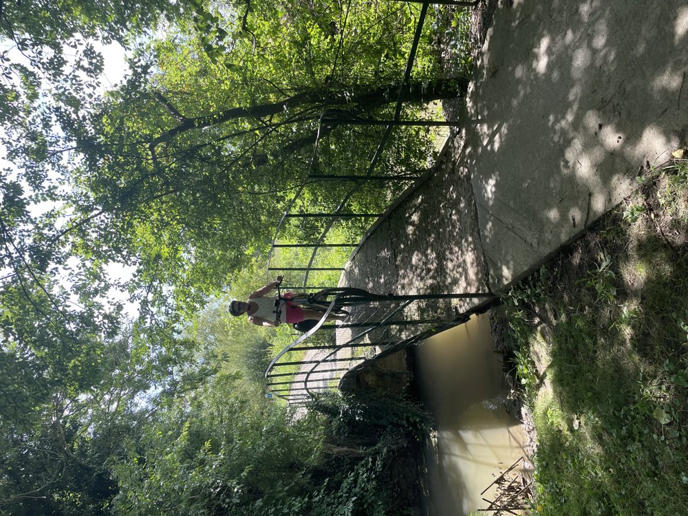
Along a narrow unpaved path, we reach the lock of Lixhe, where we cross the Meuse and then the Albert Canal.
After an 8% climb to Houtain-Saint-Simeon and then a 15% descent, we reach the Jeker, which we mostly follow to Moulin Du Brouckay.
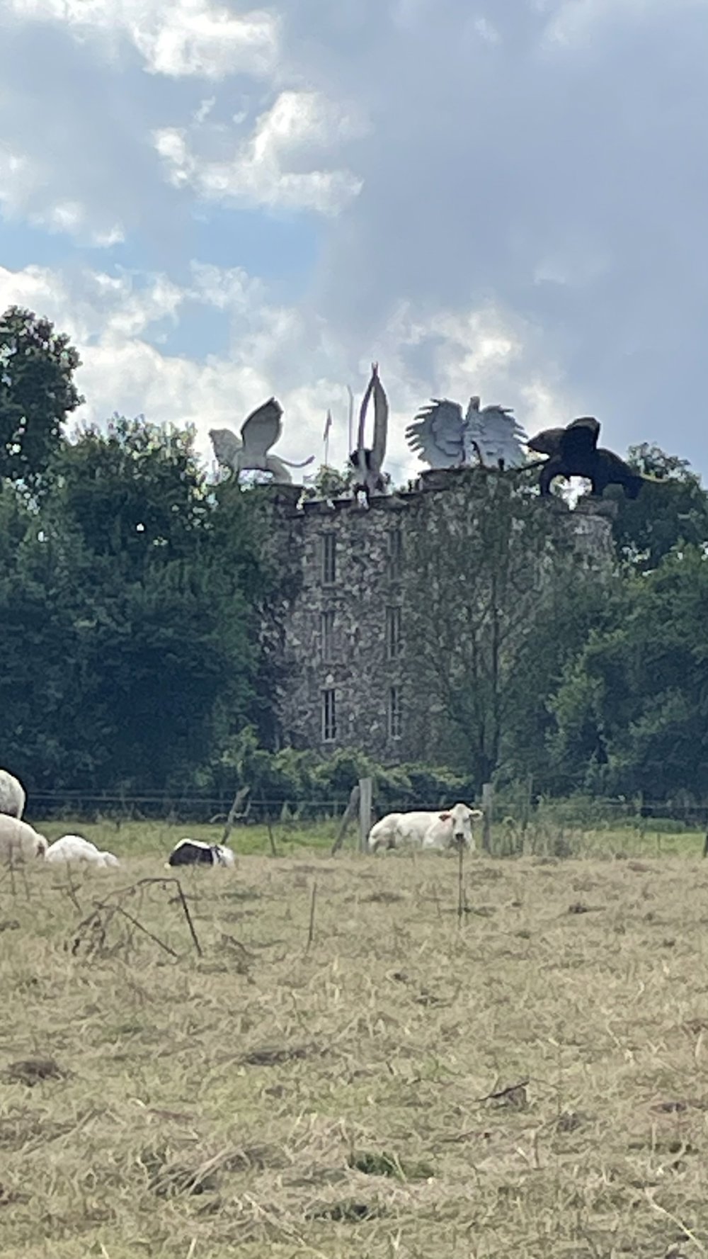
A little further, you can deviate from the route to visit the remarkable Eben-Ezer Tower via a gravel path.
We return and follow the route back to the starting point.
automatic translation
 nodes to follow
0 km
3 km
4 km
5.3 km
5.3 km
6.7 km
8.3 km
9.8 km
11.7 km
13.9 km
16.3 km
16.6 km
18 km
22 km
24.6 km
24.9 km
28.9 km
31.4 km
32.4 km
33.2 km
34.7 km
34.9 km
35 km
35.2 km
41 km
43.8 km
47.5 km
52.3 km


 Upgrade to Premium Plus
