 Biking
 Login
Login More
More EN
EN Premium
Netherlands Waterland
automatic translation
72.3 km • De Ronde Venen
3691 0 0/5

 Addresse starting point (approximate)
Herenweg 197, 3645DL De Ronde Venen, NL
 signage
The route is fully signposted with nodes.
 Description
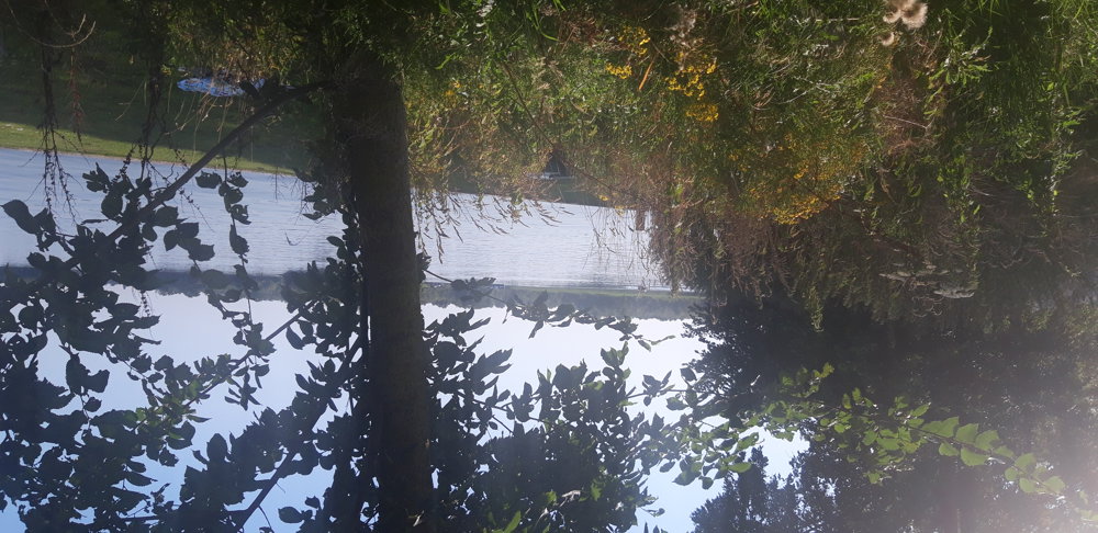
Departing from Vinkeveen, Venice on a large scale, with canals around the houses where you can kayak, I find myself among the Vinkeveense Plassen.
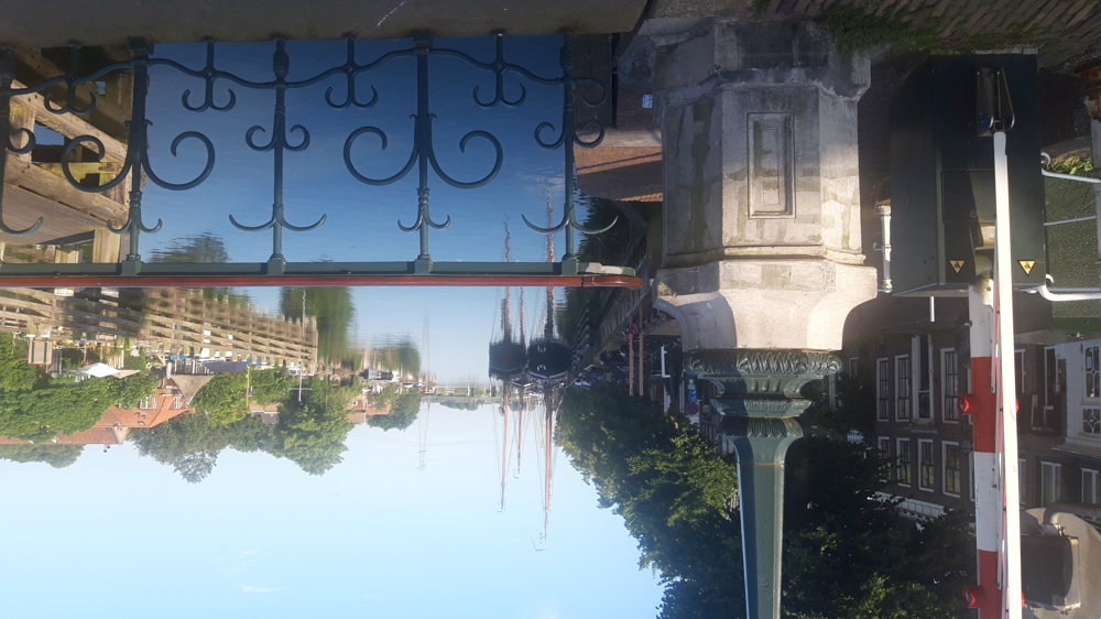
The next village, after crossing the Amsterdam-Rhine Canal, is Nigtevecht, situated on the river Vecht. A very cozy village, with information boards about the local history.
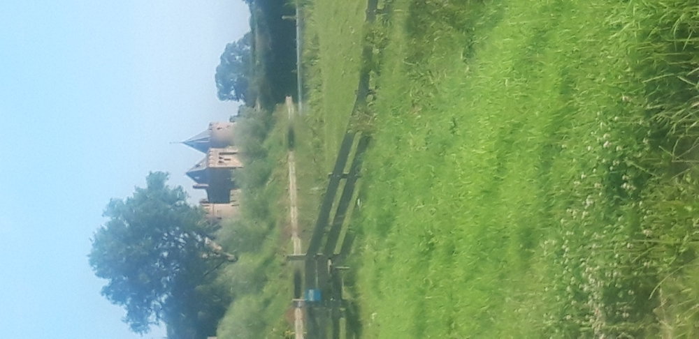
I then cycle along the Amsterdam-Rhine Canal to the IJmeer, which looks more like a sea than a lake. I also pass through Muiden, a very beautiful fortified town and its magnificent Muiderslot castle!
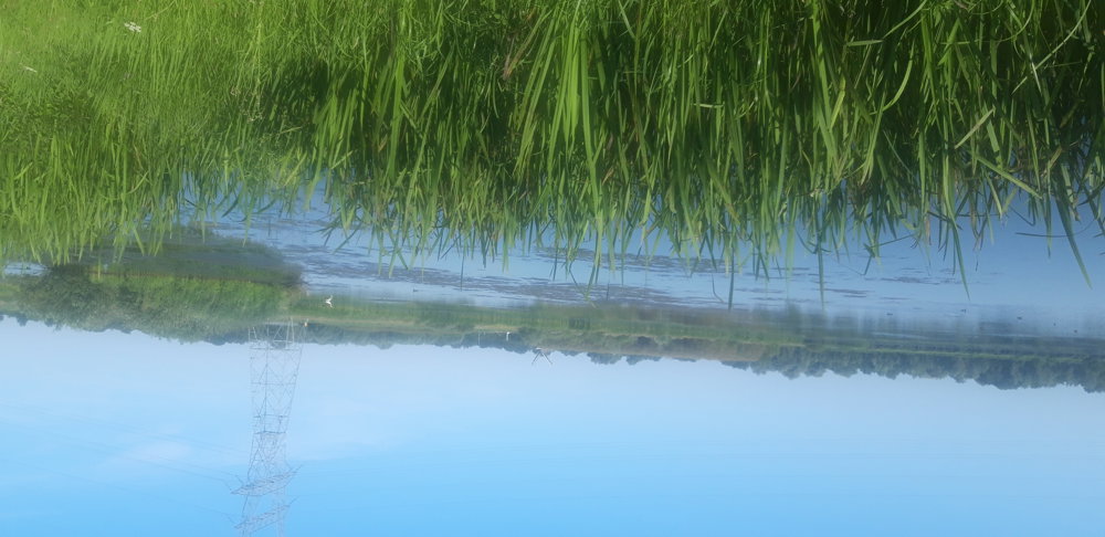
Then I head further inland again, but I am still not spared from water. I cycle along the Naardermeer and the Ankeveense Plassen, where I can see the media tower of Hilversum in the distance. I then continue through the northwestern forests of Hilversum to finally, yes, ride along the Kortenhoefse and Loenderveense Plassen back to Vinkeveen.
A very beautiful region with a lot of water!
automatic translation
 nodes to follow
0 km
3.5 km
5 km
5.1 km
9 km
10 km
11.1 km
11.3 km
14.7 km
15 km
19.1 km
19.1 km
21.8 km
21.8 km
21.8 km
21.8 km
21.9 km
21.9 km
26.4 km
29.5 km
30.5 km
31.8 km
32.1 km
35.7 km
38.6 km
41 km
43.5 km
45.3 km
48.9 km
50.9 km
52.8 km
53.1 km
55.8 km
57.4 km
57.5 km
61.1 km
61.1 km
61.1 km
62.8 km
64.1 km
67.8 km
69.9 km
72.3 km


 Upgrade to Premium Plus
