 Biking
 Login
Login More
More EN
EN Premium
A watery tour in the Scheldt region
automatic translation
49.4 km • Bornem
1.0220 1 4.5/5

 Addresse starting point (approximate)
Luipegem 182, 2880 Bornem, BE
 signage
The route is fully signposted with nodes.
 Description
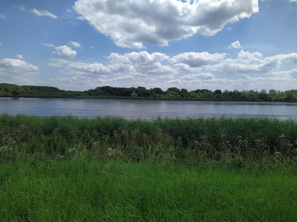
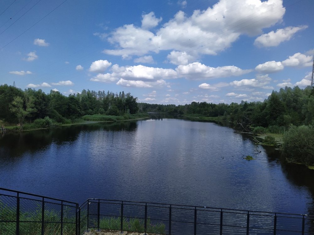
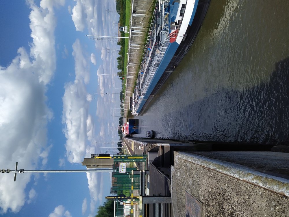
Along a stream, a river, a canal, brooks, ponds, pools, and marshes!
A peaceful journey mostly on traffic-free roads and towpaths. A little section through a forest area on a gravel road.
Start at the church of Branst (part of the municipality of Bornem) with ample parking available.
Beautiful sections on the towpath with views of the Scheldt. Please allow enough extra time, as two ferries need to be taken.
In Hingene, you will find the Castle d'Ursel, where exhibitions are regularly held, which you can visit. The park invites you to take a lovely walk. Website: https://www.kasteeldursel.be.
Sufficient drinking and dining options along the way.
automatic translation
 nodes to follow
0 km
0.1 km
0.4 km
2.7 km
4.6 km
7.3 km
7.6 km
8.4 km
8.5 km
10.8 km
14.9 km
19.1 km
20.1 km
21.8 km
24.4 km
25.8 km
26.1 km
28.8 km
30.3 km
31.2 km
33.3 km
34.4 km
40.7 km
42.4 km
43.4 km
43.5 km
43.5 km
45.2 km
46.6 km
48.1 km
49.5 km
Sunday, August 18, 2024 by V.V.very nice tour / lots of rest places (benches - few picnic benches) In Temse opportunity for brasseries - later in the tour few / a piece with gravel (less safe) / and at the end a forest section (day before it had rained) with muddy - slippery - puddles .
automatic translation


 Upgrade to Premium Plus
