 Biking
 Login
Login More
More EN
EN Premium
Through forest and heath in the land of Van Gogh
automatic translation
40.6 km • Halderberge
7042 0 0/5

 Addresse starting point (approximate)
Pastoor Van Breugelstraat 65, 4744AB Halderberge, NL
 signage
The route is fully signposted with nodes.
 Description
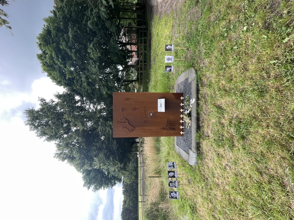
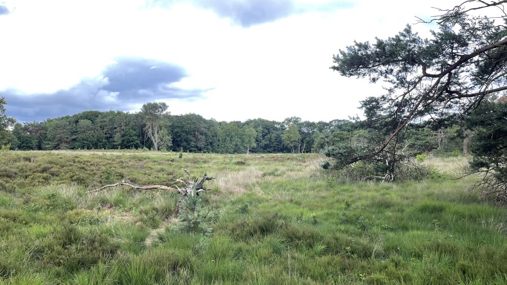
We depart from junction 54 heading towards Breda International Airport. We continue southwards through Rucphen to the Rucphense Heide, a heathland of 450 hectares located between Schijf and Rucphen. It is surrounded by the beautiful nature of the Rucphense Woods.
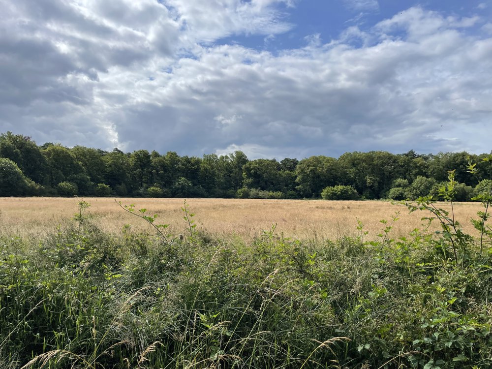
The bike tour then heads towards the Belgian border, which we follow for a while before cycling through the Oude Buisse Heide. A typical cultural landscape where Vincent Van Gogh found his inspiration.
After a while, we cycle through Pannenhoef. Forests, ponds, and flower-rich meadows characterize this stunning nature reserve, which is no less than 706 hectares in size.
Through the flat Brabant landscape, we reach Etten-Leur, which we cycle through.
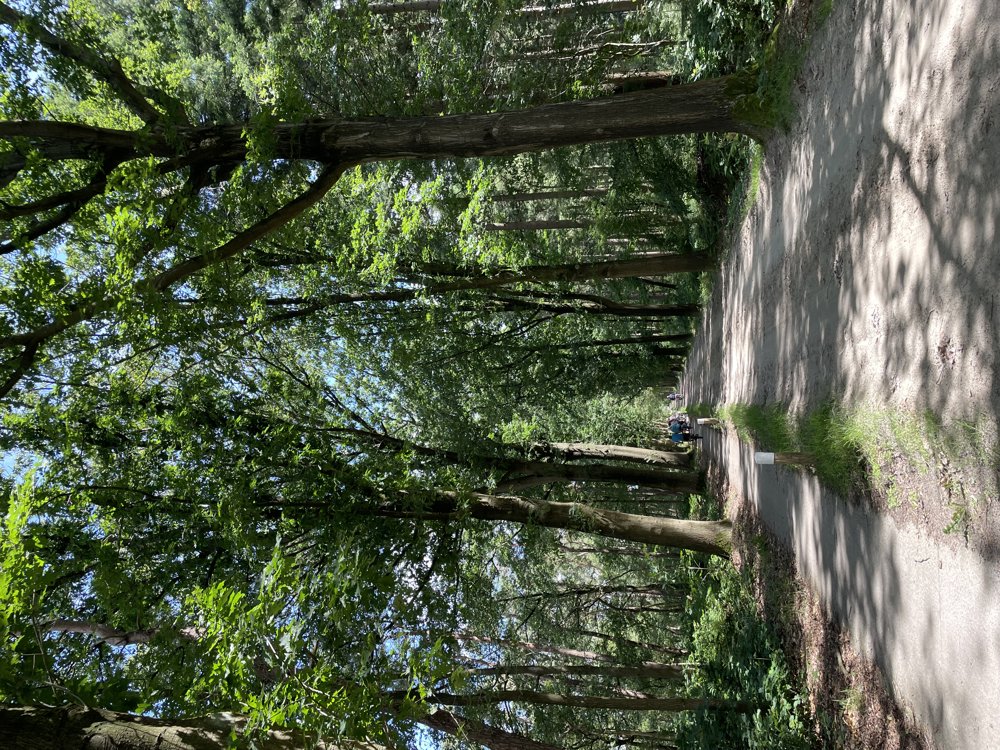
We continue our way towards Hoeven, where we turn south just before the village center, and after a while, reach the starting point again through a wooded area.
automatic translation
 nodes to follow
0 km
0.4 km
0.4 km
0.5 km
1.9 km
1.9 km
5.2 km
5.8 km
8.1 km
9.8 km
11.7 km
11.9 km
14.8 km
17.1 km
19.5 km
21.6 km
22.9 km
23.6 km
23.6 km
23.7 km
26.1 km
26.1 km
26.4 km
27.9 km
27.9 km
29.1 km
31.2 km
31.2 km
31.3 km
32.5 km
32.5 km
32.6 km
34 km
36 km
36.1 km
37.3 km
38.4 km
38.4 km
39.8 km
40.6 km


 Upgrade to Premium Plus
