 Biking
 Login
Login More
More EN
EN Premium
Tour of Wanssum and the Peel
automatic translation
46.8 km • Venray
7541 1 2.5/5

 Addresse starting point (approximate)
Venrayseweg 2A, 5861BD Venray, NL
 signage
The route is fully signposted with nodes.

 Description
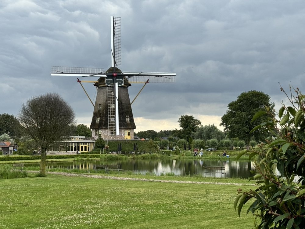
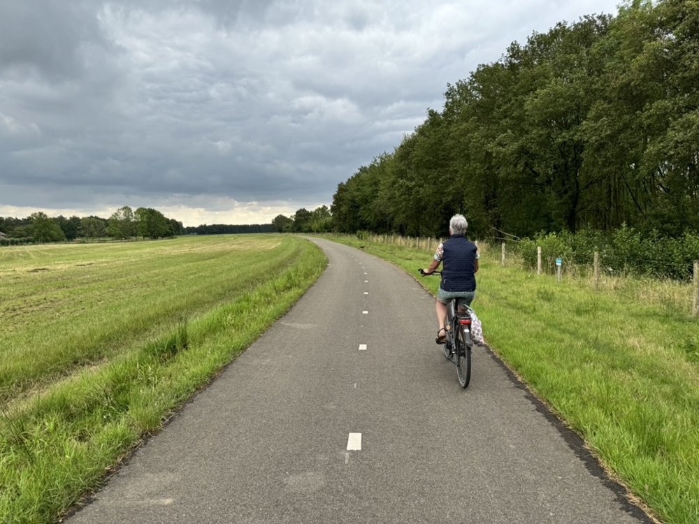
Rustic loop starting from the marina in Wanssum along the Maas riverbank heading south. Beautiful and quiet roads through the recently created floodplain of the Maas and along the dikes by the river.
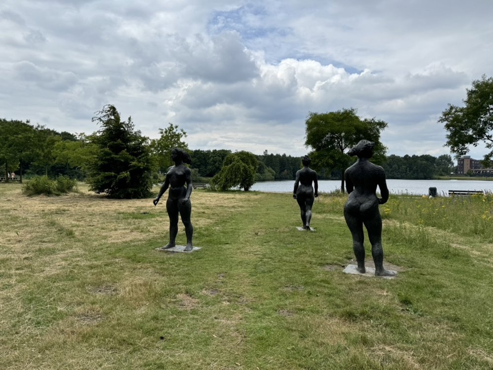
From there, towards the Peel through the old Maas arm over fields, meadows, heath and forest. Many small ponds, streams, and ditches with, among other things, well-visited fishing ponds and various mills. Along the way, plenty of picnic opportunities and in Horst (the Kasteelboerderij), a pleasant terrace for coffee with a treat or a lunch. Also visit the castle garden around the pond. Definitely worth it.
Further through the Peel with beautiful farmland with grains and finally some more woodland. Back at the marina in Wanssum with several excellent terraces for a final treat to end this beautiful journey.
automatic translation
 nodes to follow
0 km
1.5 km
4.6 km
5.1 km
6.5 km
6.6 km
6.6 km
6.7 km
8.4 km
10 km
10.2 km
10.6 km
11.1 km
12.6 km
16.9 km
17.6 km
20.5 km
23.3 km
23.9 km
25.4 km
29.2 km
31.3 km
34.4 km
36 km
37.9 km
39 km
40.7 km
40.9 km
42.8 km
44.1 km
45.5 km
46.6 km
46.8 km
46.8 km
Sunday, September 8, 2024 by M. TönnissenIf you like agriculture and horticulture it is a nice route. Personally I find the route the first 20km very nice and varied. After that very much long and vast straight roads, so a bit boring. Few terraces along the way. If a road is broken up the route is not to follow. Last few km nice again though.
automatic translation


 Upgrade to Premium Plus
